

Today is exactly 1 year after one of my biggest dreams came through. My body and soul were located inside the lunar shadow for the first time! I can admit, that I dreamt about it since 11.08.1999, the last deep partial solar eclipse seen from Poland. I will not come back to that moment, because this is a long story. Maybe I will describe it in the future, however, I was watching that eclipse from home, so it was not an eclipse chasing itself.
Anyway, I was fortunate to witness almost the same eclipse after exactly 1 saros. Saros is a period of 18 years, 11 days, and 8 hours, that is used to predict solar and lunar eclipses. On the 2017 21st of August the Earth, Moon, and Sun returned to approximately the same relative geometry. As a result, a nearly identical eclipse occurred compared to 1999. The 1999 August 11th greatest eclipse lasted 2m 23s in western Romania, the Greatest American Eclipse was 18 seconds longer.
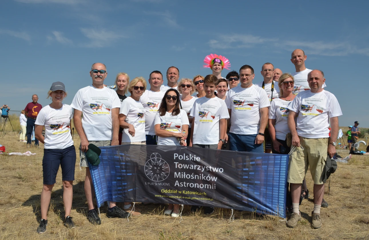
This time I was a member of the Great American Expedition of the Polish Society of Amateur Astronomers, which lasted around two and a half weeks. This fascinating journey was also the longest journey of my life at that moment. Everything was great, too great to squeeze up in this article.
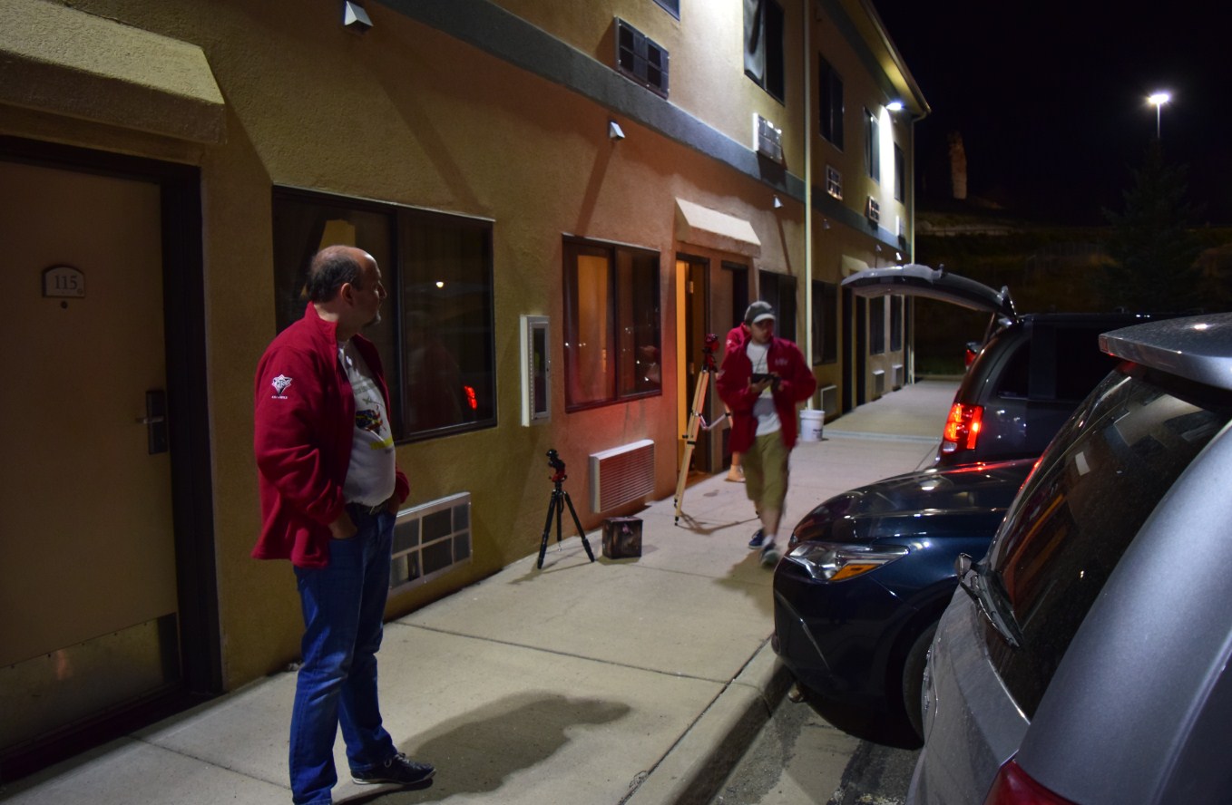
I will back to this great journey from time to time when describing the picture-perfect spots and national parks across the western US. Now I would like to enclose the 1,5 day of our Great Expedition – the eclipse day and the afternoon before when we came to our hotel Oak Tree Inn in Green River.
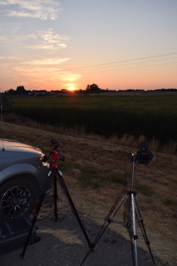
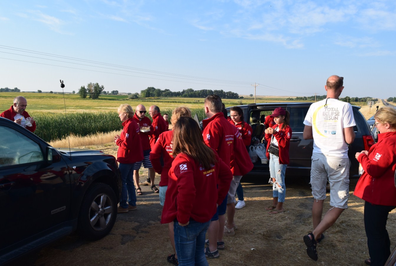
Well, we arrived at Green River in the early afternoon hours. After lunch, our team leader Marek Substyk gathered us in order to plan the next forthcoming day, a pivotal day of our Great American Expedition.
We were issued with important advice on how to deal just in case of potential bad weather o huge traffic. After the reunion, everyone went to their own room and started to pack the gear or test the equipment. Sun was out again around 6 p.m. after a thunderstorm.

When we checked our equipment we went to sleep for a few hours.
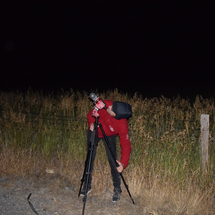
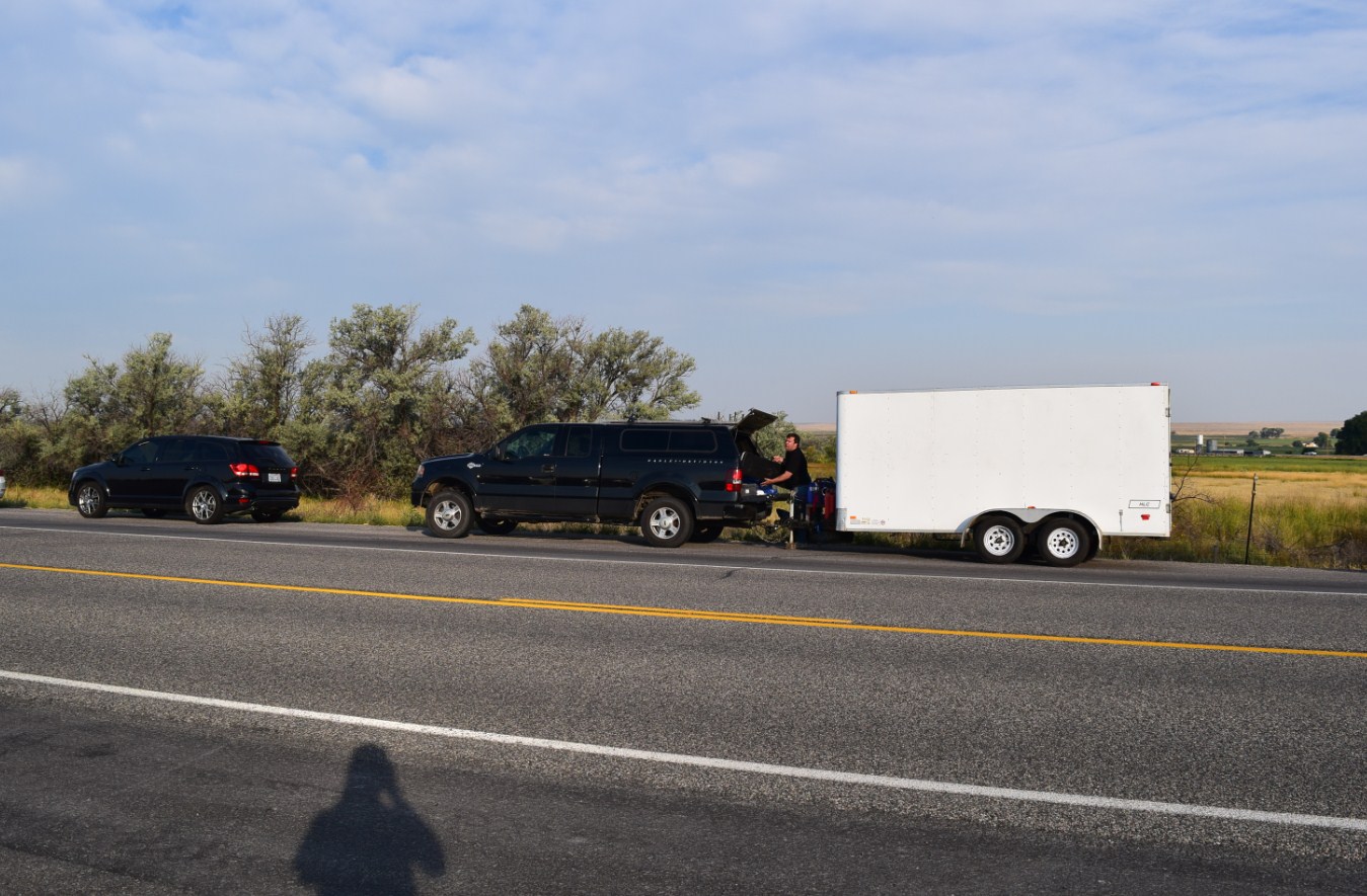
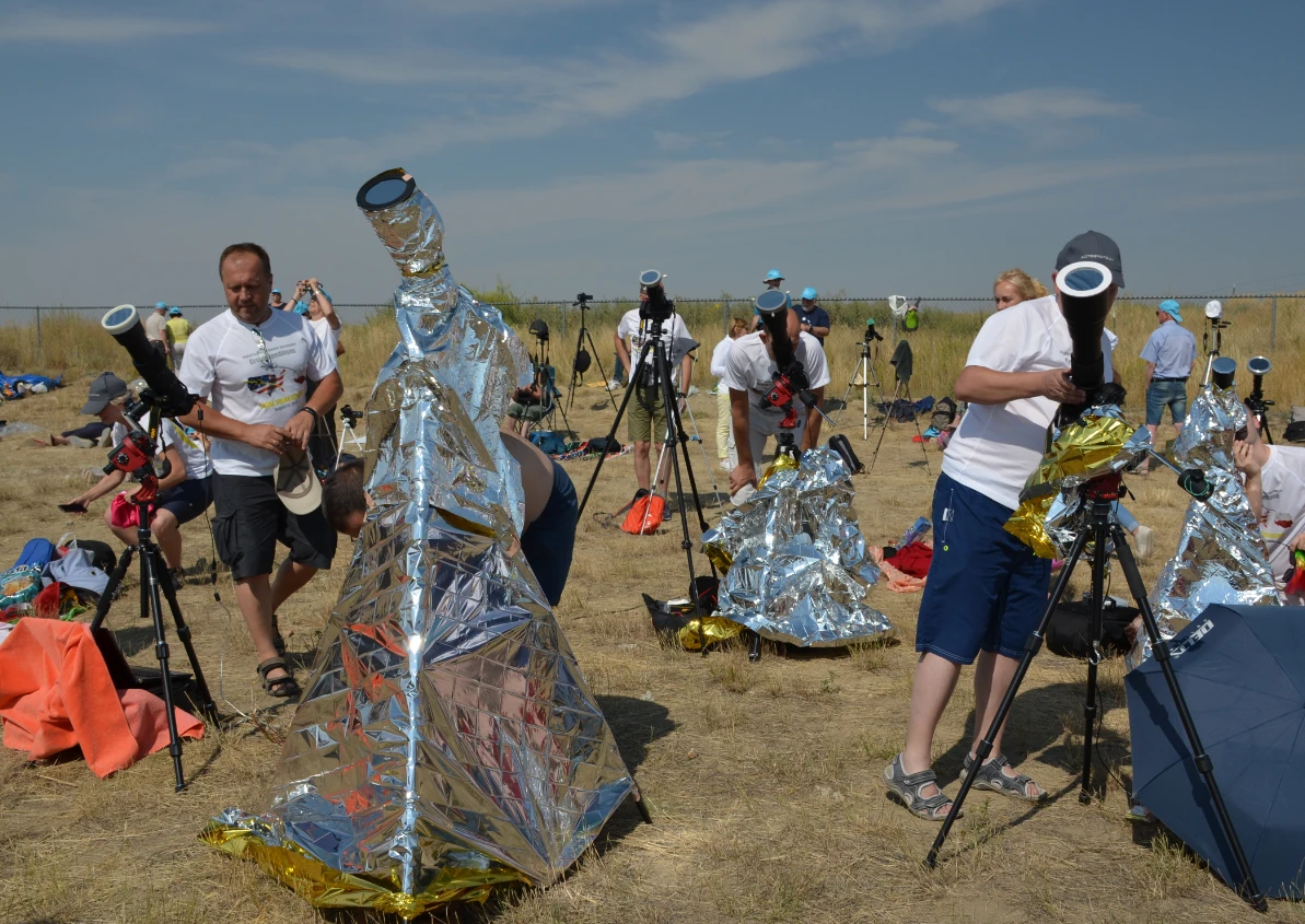
Well, we divided into 2 groups, where 1st departed at 1:00 am and another at 5:00 am. I was in the first group, the group of professional stargazers: Bartosz Wojczynski and Piotr Dzikowski, who wanted to capture the rising Orion and another constellation of the winter sky. We were also worried about the parking space.
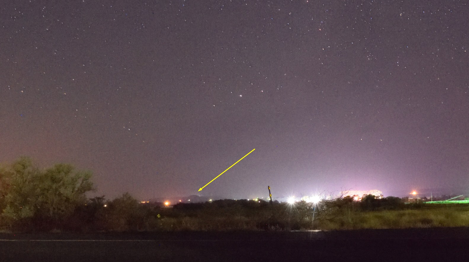
We set at 1:00 then, to reach our eclipse-watching place located around 270 km ahead. We came there at 4:20 where we spent the next few minutes finding a proper car park. The first one appeared to be nice, however, the electric lines could interfere with the observation.
The next one was better but I disagreed with it due to the high vegetation on the western side. We back maybe around 1 km then, to the biggest one, which featured possibly a clear view of the Sun. Unfortunately, the vegetation still coveted the western part of the horizon with Lost Wells Butte 1734 m.a.s.l., a peak where 2nd contact should occur 16 sec earlier, and the remote Wind River Range located on the lunar shadow diameter distance (around 110 km). Well, force majeure. Is it worse? Outside the parking bays, the view on the west was clear (sic!).
Once we decided, that this parking was good (we had to make the right decision, due to increasing traffic and further shortage of space) Bartosz Wojczyński, Tomasz Rać, and Piotr Dzikowski set up their equipment immediately and started to conduct the professional observation. There were 2 cars only, so mates had enough space to unfold their observation gear. I took a few pictures of the night sky around Riverton, and after this decided to take a nap in the car.
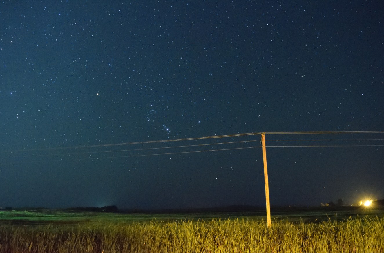
I wish I could accompany them in stargazing, but without proper equipment it was worthless. I had only Nikkor 18-55mm f3.5-5.6, which wasn’t perfect for the night-time pictures. I was considering carrying out the dawn observation, especially the astronomical one. Bearing in mind that my batteries have to last throughout the eclipse period I refused this idea and went sleep to in the car eventually.
The beautiful sunrise woke me up. As time flew our parking bay tended to be full before 7 am. Everyone was worried about the cloudiness because high-altitude clouds appeared in the sky. Due to a lack the Internet connection we couldn’t get the most actual cloudiness forecast.

We didn’t want to move, because our equipment was already prepared. In another situation was our 2nd team, which approached us around 7.45 am to us.

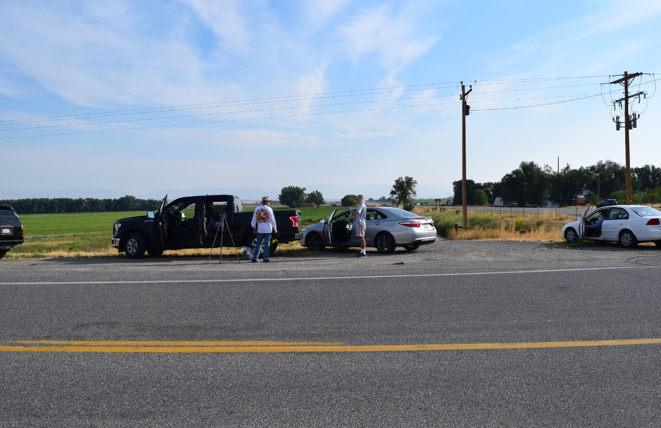
After a quick consultation, our team leader Marek Substyk decided to go further to Shoshoni and the next eastwards in order to lose these irritating clouds. We couldn’t really go with him, because mates had the equipment unfolded and packing it, then unfolding again could take too much time to get it done before the eclipse. Besides Bartosz Wojczyński had really huge equipment, too huge to move easily. He had a really ambitious plan because he wanted to repeat Eddington’s 1919 experiment – the test of general relativity. Finally, we have got to the conclusion, that staying here will be better for us. Since that time our 2 teams were split and watched the eclipse separately. Our other team was located finally on the Waltman Rest Area front yard near Powder River.
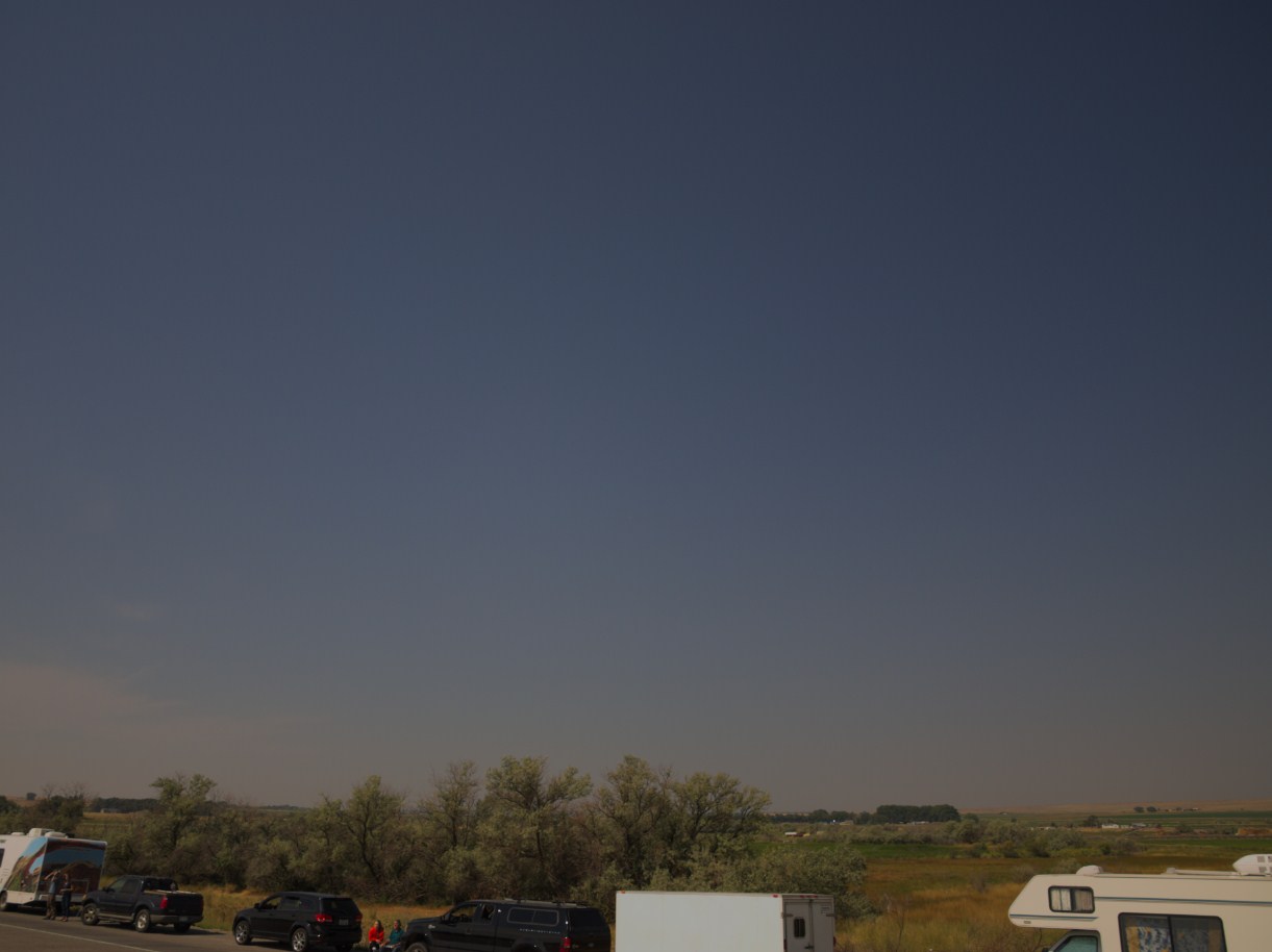
For the entire morning, new observers were arriving filling up all parking bays and every possible free space on the edges of the U.S. Hwy 26. My earlier investigations were led to set optional observation venues with a view, especially towards the west, where I was able to see the Lost Wells Butte.
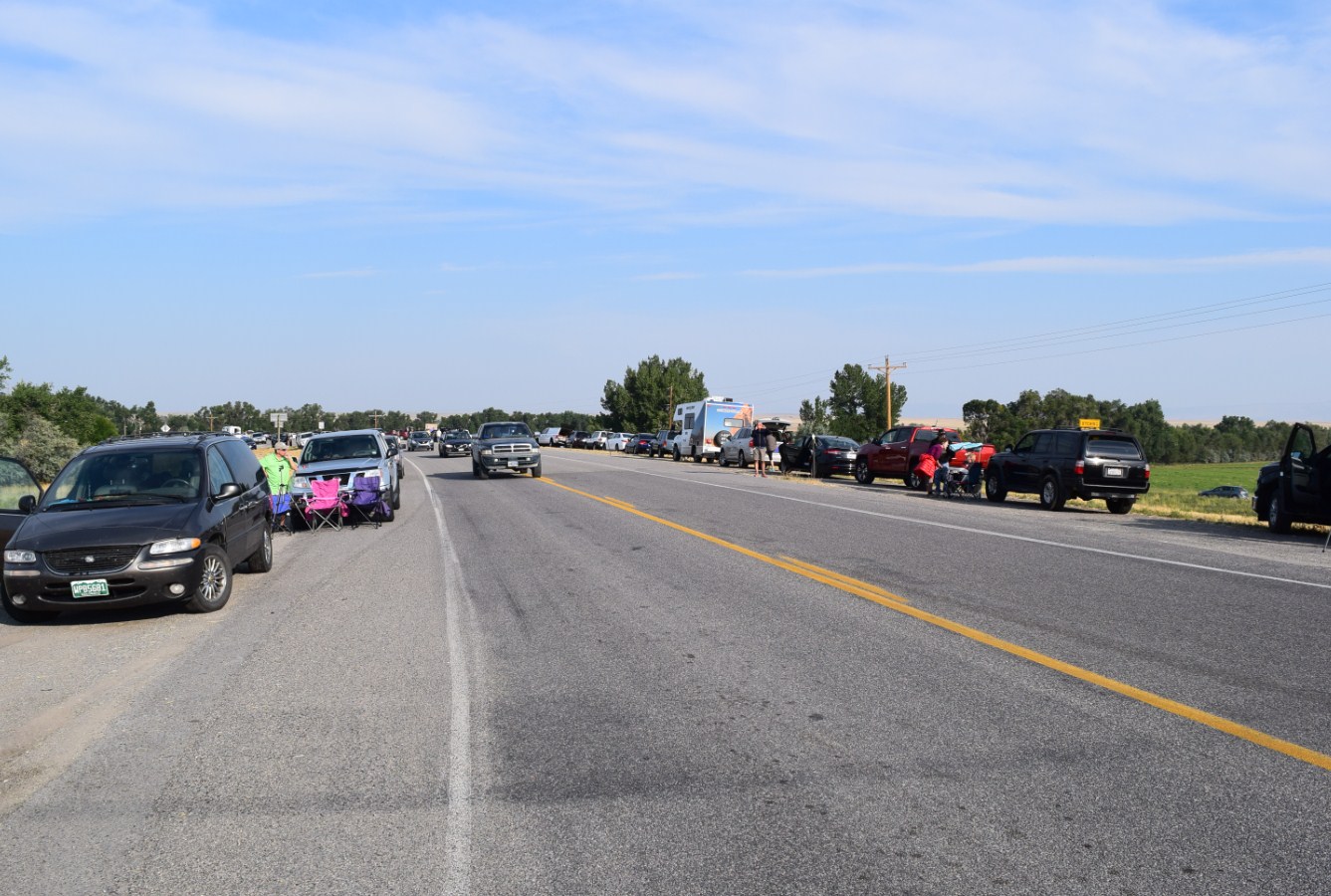
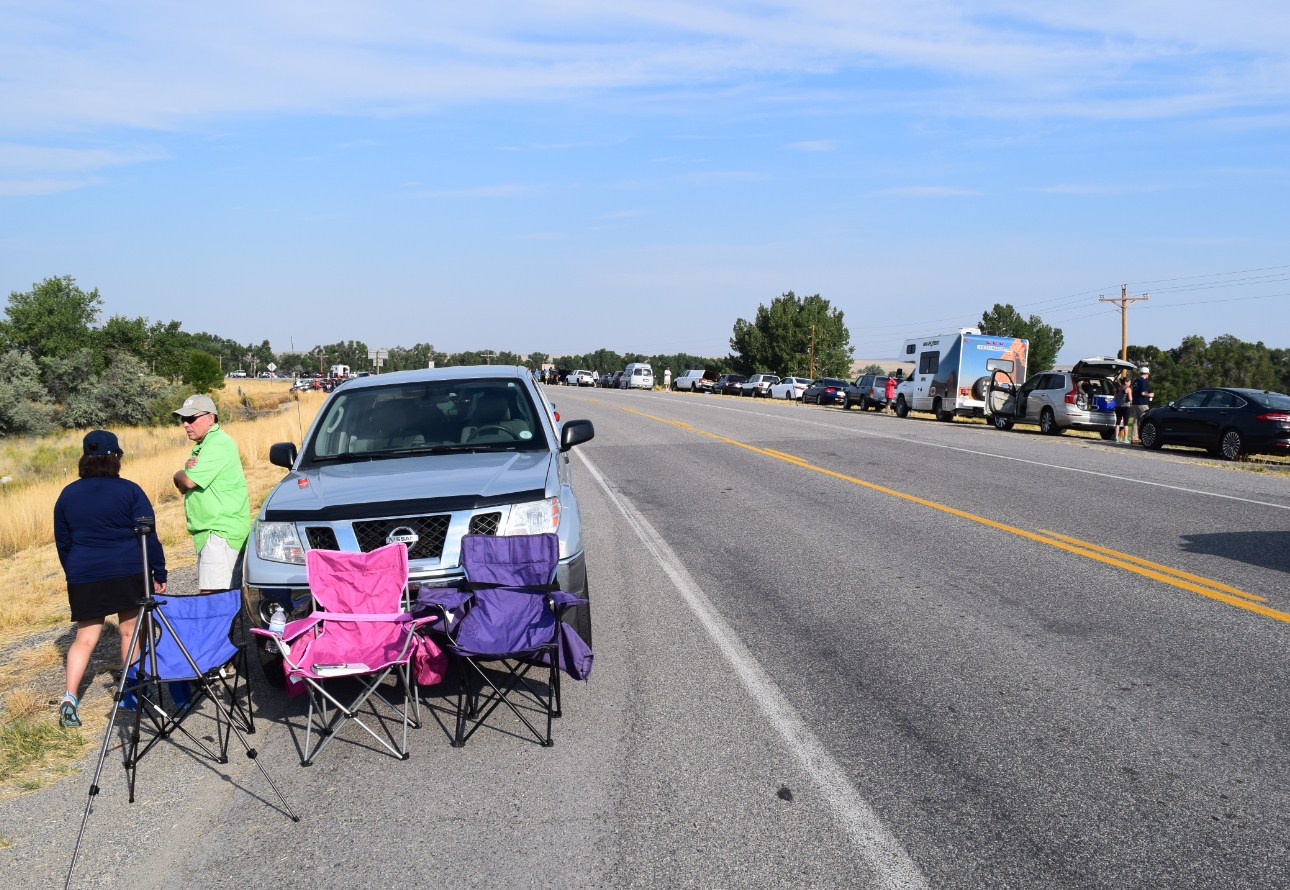
Unfortunately, around 10 am the opposite side of the road was full of cars, hence I couldn’t see the horizon. I was trying to find the venue adjacent to Missouri Valley Road too, but it was impossible due to the high trees over the horizon and also the foreshorten view of the Owl Creek Mts range.
My inconvenient problem solved people from the catholic pilgrimage, who led me to use the top of their van. I have been grateful for them for today. Thankfully from the top of their car, I could see the north-western horizon clearly. Unfortunately, I still couldn’t see the western part of the horizon with Lost Wells Butte, where the 2nd contact should be visible 16 sec earlier. Never mind. The most important was the north-western part of the horizon, from where the lunar shadow should approach (shadow-in). The opposite horizon was clearly visible, however, the buttes were too close to spot the difference in moments of umbral contact.

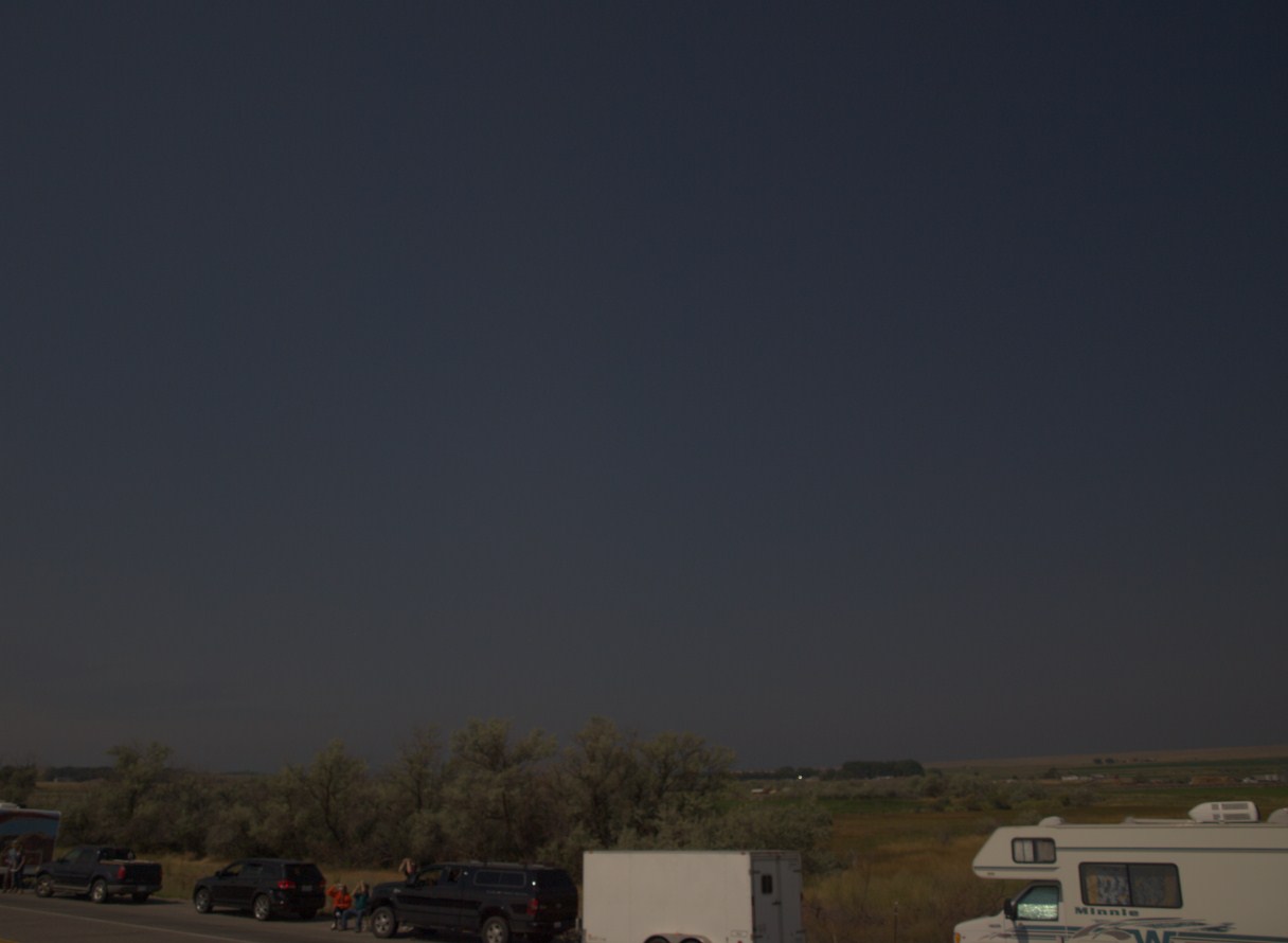
Unlike previous days, when we were traveling through the mountains the eclipse day was hazy. I didn’t realize, that the effect of totality impact on haze will be clearly noticeable. The details of this, as well as the whole observation of the total solar eclipse, will be described in further articles.


Being in the van I had a dozen or so minutes to set up my equipment. I installed 2 smartphones to measure the illumination changes during the eclipse and footage records. Next, I prepared my 2 cameras (1 DSLR Olympus A510 and compact Canon Powershot SX 130 IS) in order to observe the lunar shadow movement both across the western sky and the Owl Creek Mts and another DSLR camera Nikon D5300 with 2 lenses where 1 – Nikkor 18-55 was designated to capture the lunar shadow movement on the eastern and southeastern sky (shadow-out) and Nikkor 55-300 mm to capture the solar corona outside the totality and Sun for entire eclipse period.

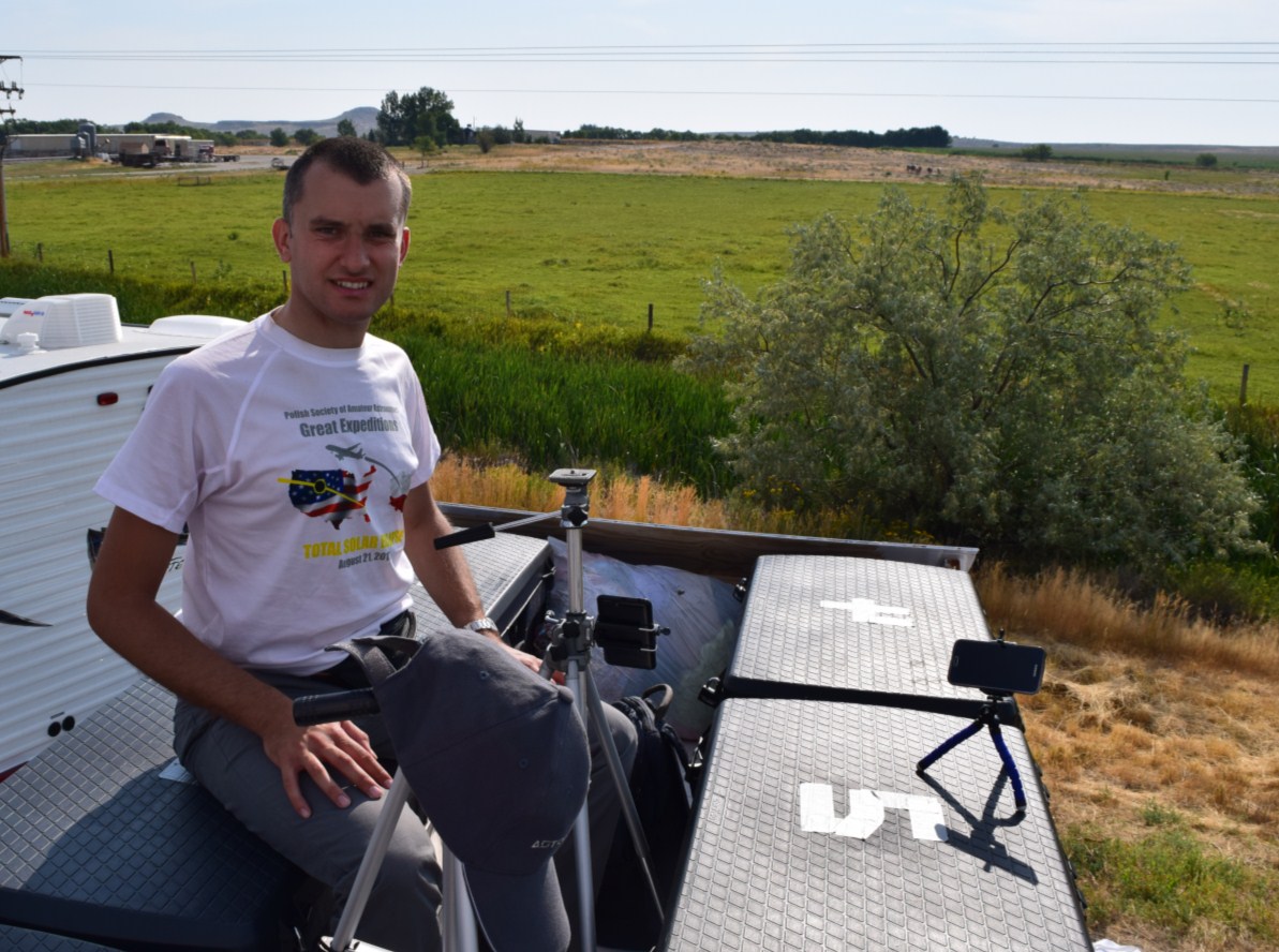
I had bad luck with one tripod, that got defective and became not useful. This situation made my observation more difficult. On top of that, I was quite far from the rest of my team, which made me out of the grid for the eclipse time being.
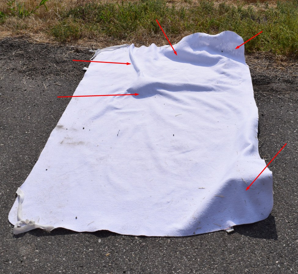
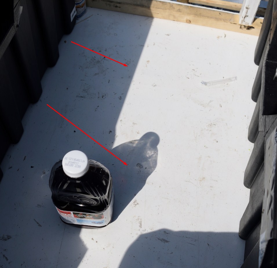
One of my basic goals was chasing the shadow bands on the plain-colored sheet and the top van deck. I adjusted this sheet not only for shadow band purposes. I was going to record the shading movements throughout the totality. That’s why I have not put this sheet flat. I made it as rough as possible in order to expose a lot of shaded areas (shown by red arrows). Unfortunately, I didn’t get an idea to set some gnomon-like rigid objects there. Fortunately, this uneven sheet surface brought pretty good results for me. I will elaborate on this in future articles. This sheet was rough and due to this, I couldn’t properly see the sunlight reflection around the totality. I tried to make it on the top of the van, but I didn’t make it eventually, because for a whole eclipse period, I was snowed under with other issues. I regret it, but…maybe next time 🙂
The eclipse started before 10:20 a.m. Earlier I shouted to everyone: “One minute!”. Shortly after 1st contact some guy from the local radio visited me and asked about me and my observation. I showed and explained to him what I would like to see during this eclipse. Watching the shadow fleeting above the mountains was interesting for him. After the interview with this guy, a member of my team: Karol Kucharski and Kinga Mroziewicz visited me. As I said before, my observation venue on the van was a few cars ahead of our cars. Therefore I couldn’t contact my colleagues directly.


I felt, that the whole partial phase passed very quickly. It was strange because this one and a half hours should last a bit longer I think. For this time the traffic on U.S. Hwy 26 increased. People occupied all possible free space alongside the road and exposed all their equipment needed.

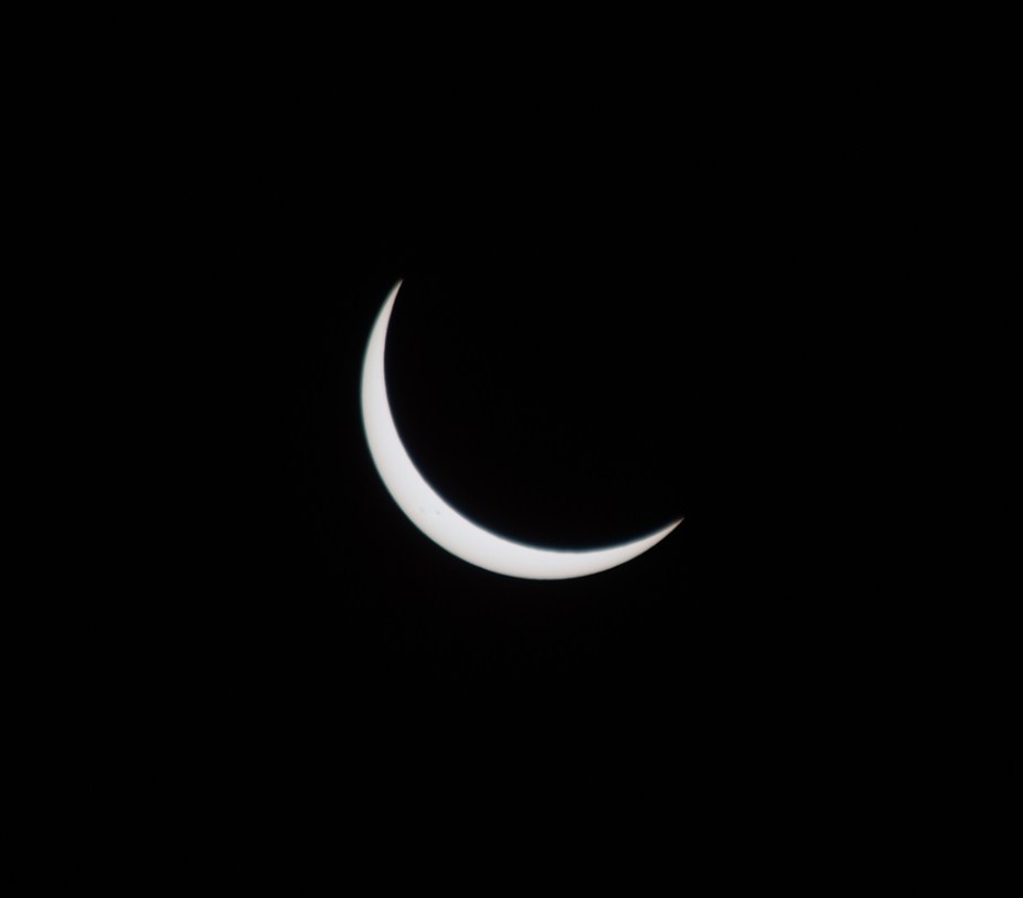
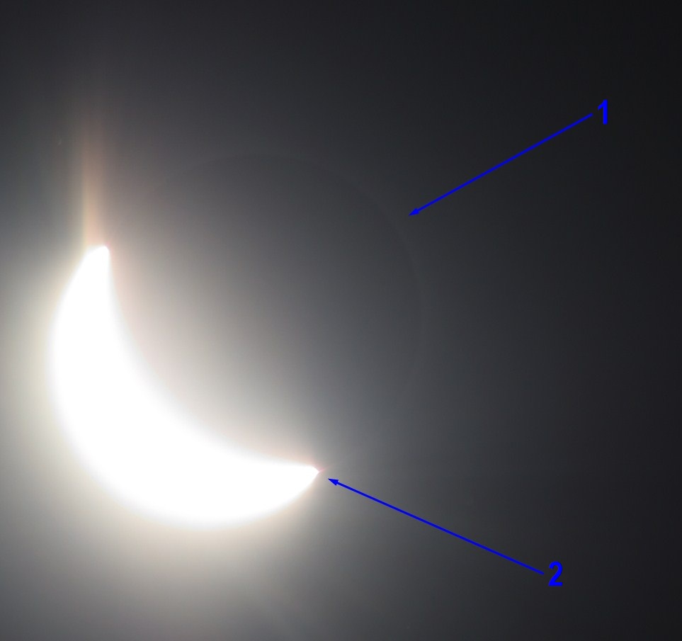
I was watching the Sun and everything around me. When the Moon gradually moved down across the solar disk the cirrus and cirrostratus clouds moved southward and gave way to the clear sky around the Sun. Before it, a nice halo was visible (and perfectly captured in Bartosz Wojczynski’s photos of the partial phase). Around 10 min before 2nd contact, I felt the cool wind. Looking on Sun with the naked eye I could spot a gleaming crescent.
The situation was strained for me because I had to manage a few things at once. The most important was 5 minutes before totality when the solar corona became visible in the long lens. I used the light-fall option to capture it more safely. Moreover, I had to focus on the approaching lunar shadow, that started to be seen on the western horizon. Just before the totality, I took a few photos of the shadow approaching the Owl Creek Mts. Thereafter I attended to snap a photo series of Bailey’s beads and 2nd contact. Suddenly the sky and surroundings darkened. I had fractionally more than 2 minutes to cover the whole horizon and capture the eclipsed Sun. Watching it with the naked eye Sun appeared to be bigger than normal. It was the effect of the corona, which surrounded the black lunar disk. Watching the totality through the Nikkor 55-300 mm was also a nice experience. I could see the pinkish prominences, that I had no occasion to see by the naked eye. Possibly I could spot some, but I did not have enough time to do this. I spend around 2/3 of totality watching the Sun and another 1/3 for surroundings, taking a lot of pictures in the meantime. Because the view through the Nikkor 55-300mm was like the view through pretty good binoculars I had quite a detailed view of the totality phenomenon.
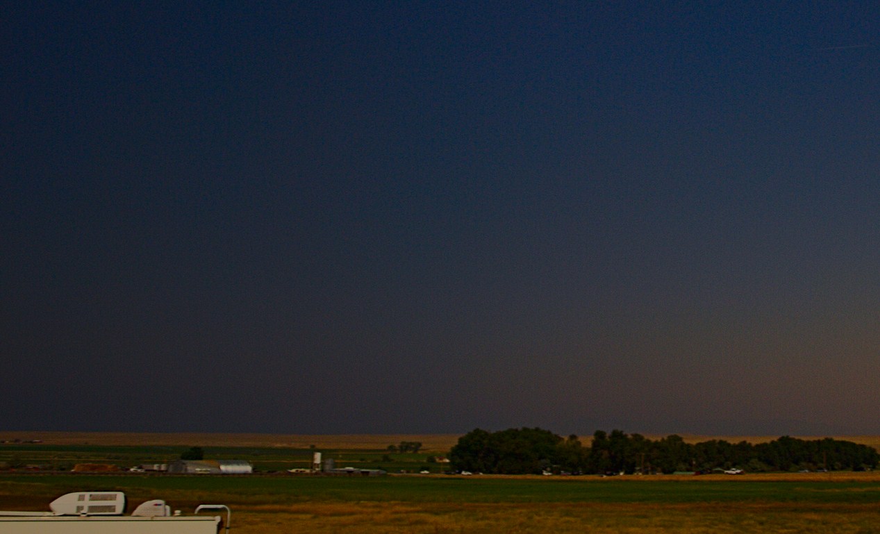


Suddenly I spotted the brightening Owl Creek Mts range far beyond and took a few pictures immediately. Fortunately, I caught the fleeting shadow, leaving the mountains quickly one by one. I was probably the one observer, who was looking toward the opposite part of the Sun before 3rd contact. Some of my colleagues noticed it. The observation of the umbral movement through Owl Creek Mts was sufficient and carried out as planned. Around 3rd contact, I was torn between the mountains and the Sun. Holding my camera and changing the settings as quickly as possible I wanted to collect as much as possible. Finally, I took a few photos of the Sun around 3rd contact and the mountains on the opposite side too.


As a result of the lunar shadow movement observation, I can now distinguish 4 cases of lunar shadow presence in the mountainous landscape. It will be also described in the future. I thought, that the mountainous landscape response during the totality was more important for me than the Sun itself because the Sun is going to be observed by everyone unlike to rest part of this whole natural phenomenon and no one will waste the precious tens of seconds watching darkening or brightening mountains. I did it with my own eyes! However additional footages were desirable later due to the lack of automatization. My admiring of the landscape during the totality was too short because it was my first time inside the umbra. Hence I was going to watch the Sun with all the details, but not the entire eclipse like everyone.
Once 3rd contact occurred I headed my camera immediately in the east direction (shadow-out) where I could spot a receding shadow like a grey infinity. It disappeared after a few seconds. Right after this, I attended to observe the solar corona outside the totality again.

If I could summarize my observation of the totality I can assess, that I spent around 30 sec watching the Sun with the naked eye, around 1 minute watching the Sun through a long lens, and another 50 seconds admiring the landscape during the totality. In the meantime, my 2 smartphones were recording the luminosity changes and footage of white sheets in order to chase the shadow bands and ground-darkening circumstances. I didn’t spot shadow bands but I noticed another interesting phenomenon, that I am going to describe later. I didn’t spot the natural behavior either, as later we were informed about it. Bartosz Wojczynski noticed, that the horses were standing still during the entire totality. These horses pastured next to the road, maybe 50 m ahead. Except for the totality, I clearly saw Bailey’s beads during the 2nd contact.
During the totality, only 1 car passed road no 25. The funniest moment was just after the 3rd contact one car left our observation place. It was less than a minute from the totality!
In the meantime our 2nd group was watching the eclipse around 90km eastwards, outspeaking around shadow cone ahead.
Everyone was excited about the maximum phase of the eclipse.
We were curious how they fared, but we had to wait until everyone reached our place to stay, because it was hard to share our all excitement over the phone. Fortunately, both in our place and where our 2nd team was, the sky was free of clouds at the time of totality. Our whole team was successful!
I carried out my light measurements and some photo sequences after 3rd contact for about the next 25 minutes. The pilgrims started to pack their gear and wanted me to leave their van. My light measurement terminated when obscuration was around 60%. I joined my colleagues and still took pictures of a partially eclipsed Sun up to the last 4th contact. They talked about the clerk from Riverton who invited us to the local museum, where the photos of the 1918 totality in Riverton have been collected. Some of my colleagues observed the Sun until the fourth contact because they used Eclipse Orchestrator software and didn’t want to stop.
To be honest this first total solar eclipse triggered many emotions inside me. After 3rd contact, when obscuration was lower than 90%, making all noticeable things gone I started to feel sick. I was very tired and had a headache. All my eclipse emotions went down immediately.
In general, all emotions went down. We can only share our new eclipse experiences. Everyone was excited and happy. The time to pack our equipment came, because after 4th contact was nothing to do. Besides, the traffic gradually increased as the carriageway edges and parking bays became more and more empty.
Our final destination that day was Cody, a small settlement located just behind the Owl Creek Mts. The journey there should last no more than 2 hours in normal conditions, however, the eclipse phenomena incurred terrible traffic. It was assessed that Wyoming, a big state with only 500k inhabitants could host even 2m people on eclipse day. It was the main subject of our wonders next to possibly bad weather, which in this place happens only rarely in August. Possibly it will be also the subject of further articles in my blog.


Fortunately, on the way up there were no traffic issues because we were traveling before dawn break. On the contrary to our night journey, the driving towards Cody was terrible, especially in the Shoshoni area, where U.S. Hwy 26 coincides with U.S. Hwy 20. It was not easy to leave the Shoshoni. From Idaho Street to Bonneville Rd just behind the river, we were literally inching meter by meter. There were tens of cars ahead and behind us. As our way progressed the traffic decreased. Some people decided to diversify this road using the aforementioned Boneville Road other drivers went quicker. Anyway, at the stage of Boysen Reservoir Dam, the road was clear again.

We approached Cody around 4:30 p.m. All members of the Great American Expedition of the Polish Society of Amateur Astronomers reached Cody before 7 p.m. We spent the evening enjoying our memories and some pictures from the totality. It was a really nice and difficult day but we made it!

I am very happy, that finally I reached my goal, saw the totality, was inside the umbra, and made valuable investigations about the atmospheric response during the totality. I say again, that everything is going to be presented in the future. There are a lot of issues associated with this spectacular phenomenon, that should be escalated, but are constantly being omitted. Hopefully, along with technical development, anyone is getting more and more able to cover the eclipse phenomenon holistically. I am one of the people, who can help to discover all the mysteries of this celestial event. Personally, for me, it was a second solar eclipse expedition. Read more about the first one in Scotland.
Mariusz Krukar
Links:
Wiki:
Read Also:
Youtube: