Tourist map for solar eclipses 2021-2040
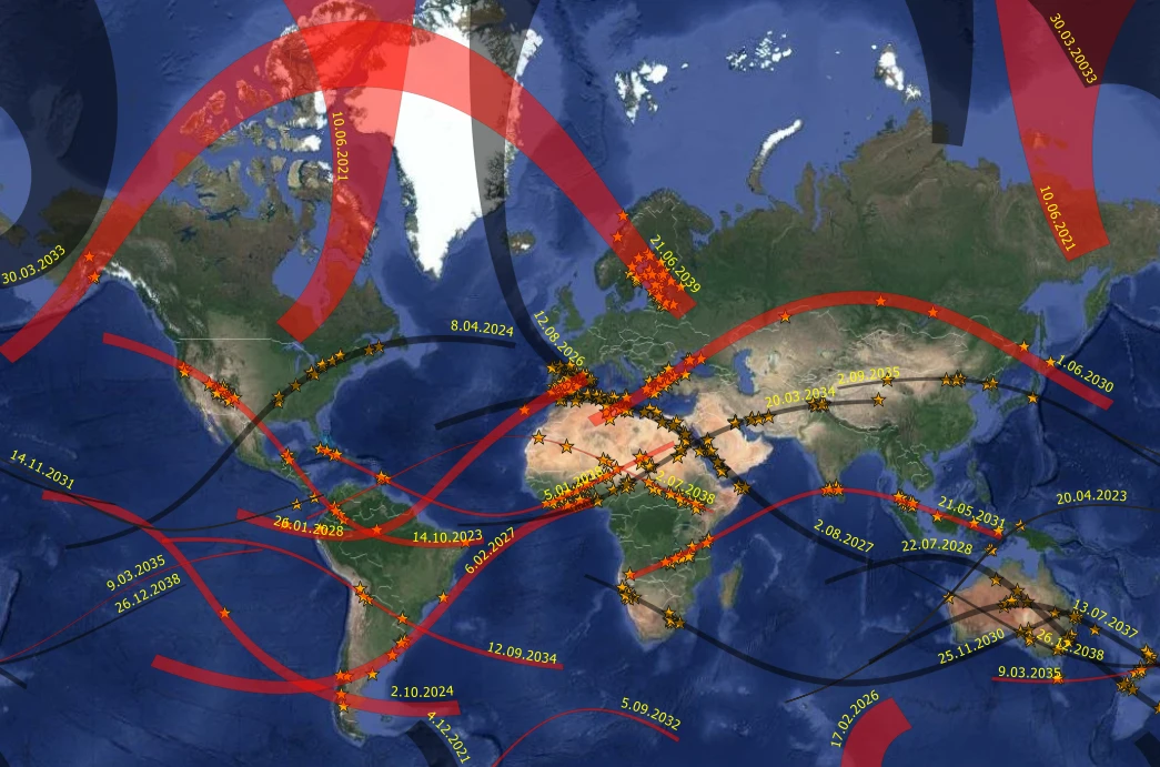
The map is dedicated to all solar eclipse chasers, who want to experience this beautiful event along with one of the world’s most beautiful places renowned for its history, architecture, size, or nature. Search for 500 interesting objects falling within the paths of annular (red), hybrid (blue), or total (black) solar eclipse between 2021 and 2040. You can also search by address and check the eclipses within the next 20 years. Measure distance, and see how many kilometers away are you based on the path.

The map of 2021-2040 annular & hybrid & total solar eclipses with the most interesting places highlighted.
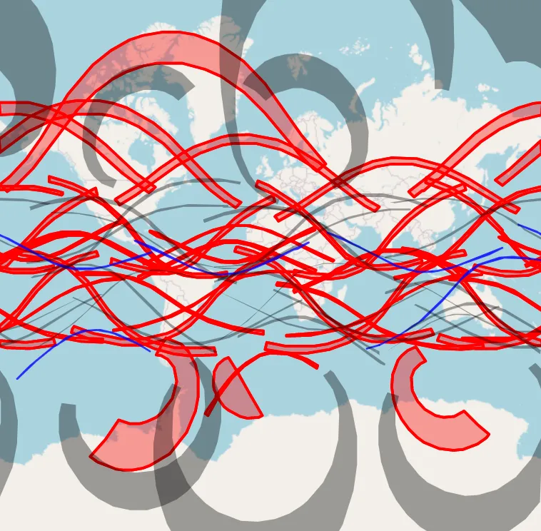
World map of solar eclipses 50 years ahead
The map will be developed with versions accordingly updated. You are able to find your address and check what eclipses occur within the forthcoming 50 years. I am going to keep this map updated, which includes the removal of passing eclipses and the addition of new ones, which will happen after 50 years. The total solar eclipses were marked as black, the annular is red, and the hybrids are blue. In the future, I am planning to plot some interesting places here, which can be beneficial for solar eclipse observation (like astronomical observatories). Stay tuned!
World Webcam Map
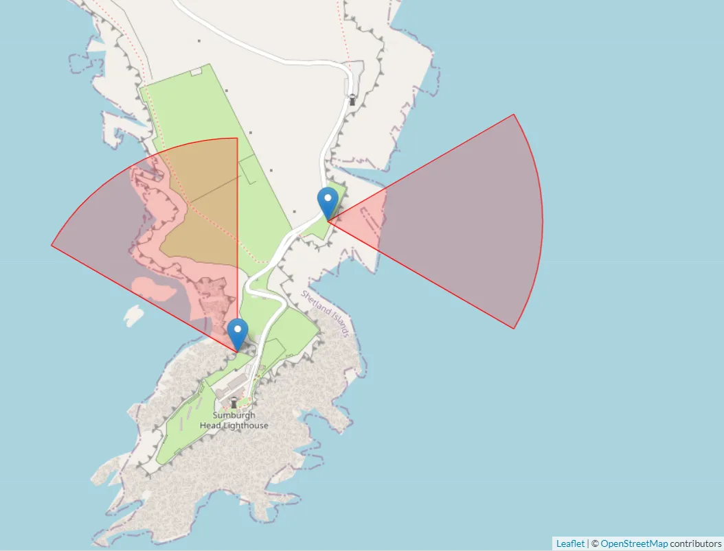
At first glance, you might think, that I am somewhat “reinventing the wheel” in creating a map such as this since at least the Windy.com weather platform did it very well. I fairly agree with you, although the aim of this map is the categorization of the webcams by their key properties, which can be further used for some scientific home-based observations. Unlike the most popular webcam services operating worldwide, which marks only a physical webcam appearance I would like to list all its parameters and distinguish them by research purpose.
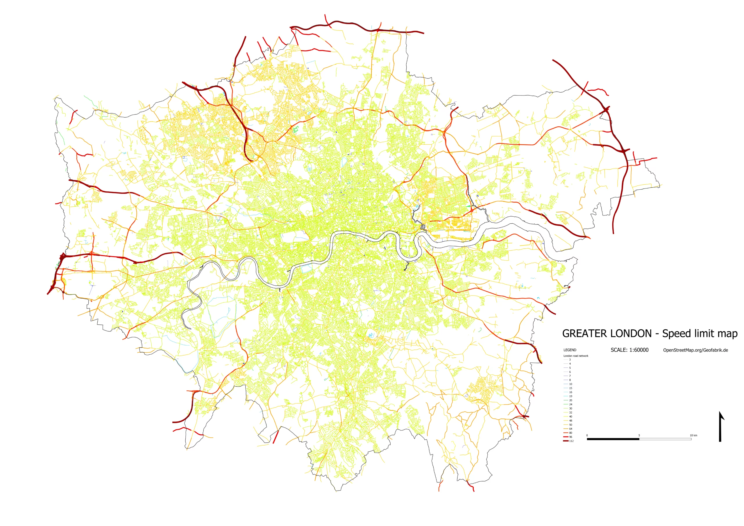
Greater London speed limit map
This is an example of the road network map, where the maximum speed limit has been considered. The full text explaining steps on how to make a map such as this is available here. You can make the map like this on your own. It’s a really quick job. Remember, that the source data is based on the OpenStreetMap service, which means that they are a product of the user contribution worldwide. As a result, some areas cannot provide complete datasets as we want.

Greater London – speed limit map in the printable A0 format based on the OpenStreetMap datasets. Click to enlarge.


