Skip to content
Astro-Geo-GIS

An original point of view

  • Home
  • Blog
  • Projects
    • Gregorian calendar 1601-4000
      • Gregorian Calendar Calculator
    • Solar eclipses
      • European Eclipse Quadruplet
  • Shop
  • Liaison
    • QGIS tutorials
    • ArcGIS tutorials
  • Maps
  • Tours
  • Workshop
  • Books
  • Files
  • Gallery
  • Links
    • GIS links
  • Media
  • Contact

Elevation

Learn how to obtain information about the elevation of your area by using various GIS  solutions.

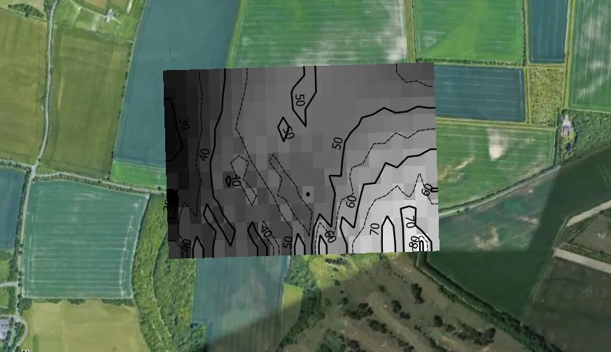
Autofill elevation data for any QGIS point layer

2025-05-282022-10-20 by Krukarius
QGIS elevation autofill

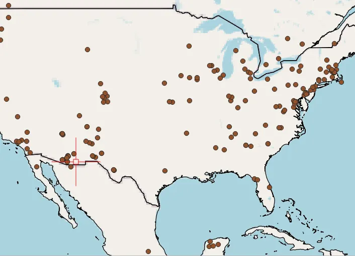
In the recent text, I’ve shown you how to get the elevation data to QGIS without DEM. Imagine, that this is a track for equipping any point in QGIS with elevation data regardless of its location on our map. Maybe it’s not that useful when our point layer is restricted to some small area bounded … Read more

Categories GIS Tags Elevation, QGIS Leave a comment

Elevation data in QGIS without DEM

2025-05-282022-09-13 by Krukarius
QGIS elevation without DEM

In this article, I want to demonstrate to you some shortcut, which is a product of two traditional ways of collecting the elevation data for any project in QGIS. The first way of collecting the elevation data in QGIS is by downloading and using the Digital Elevation Model from which this particular data can be … Read more

Categories GIS, Relief Tags Elevation, Google Earth, QGIS Leave a comment

Translate into your language

Categories

Archeology Archival Astronomy Astrophotography Astrophysics Astrotourism Cartography Climate Data External Geodesy Geology Geotourism GIS Hydrology Infrastructure Innovations Long-distance observations Miscellaneous N/A Optics Paleontology Photography POLSKI Relief Spatial planning SPONSORED Tourism Transport Travel Video Weather Wildlife

Tags

Astrosoftware (9) Atmosphere (14) Atmospheric optics (14) AutoCAD (11) Clouds (9) DSLR (20) England (17) Flightseeing (8) Geocoding (8) Google Earth (26) Google Maps (15) Haze (10) HTML (7) Image processing (12) Interactive maps (21) JavaScript (12) Light (24) Lunar eclipse (9) Macro Photography (9) Mobile apps (12) Moon (10) Mountains (23) Night Photography (9) Nikon (14) OpenstreetMap (10) Panorama generator (7) Poland (24) Python (10) QGIS (30) Sky (16) Smartphone Photography (10) Solar eclipse (35) Solar System (17) Spain (11) Stargazing (19) Street View (10) Sun (10) Trip (17) Twilight (18) United Arab Emirates (7) United Kingdom (35) USA (17) VBA Excel (15) Webcam (12) XML (9)

Social wall

Tumbrl
Tik Tok
X widget
Pinterest
Instagram
Youtube
Facebook
Patreon logo
Buy me a coffee logo
© 2025 Astro-Geo-GIS • Built with GeneratePress