Folium Draw plugin – extended functionality

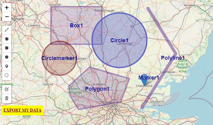
Folium draw plugin

The Draw is a very nice plugin dedicated to anyone who wishes to draw editable vectors on the Folium map. It’s a comprehensive plugin, that can add lines, polylines, polygons, rectangles, circles, circlemarkers, and markers and then edit or delete them. Its functionality is the same as in the Leaflet Draw plugin, where its Folium … Read more

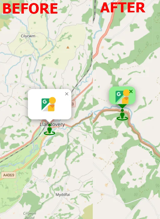
Original Street View colors without Google API Key

Street View colour inversion

Street View is a good tool, which can be incorporated into your own interactive maps like Leaflet or OpenLayers. Unfortunately, since 2018 Google hasn’t served it for free. In turn, the Google Maps products can’t be set up properly, because you can see the “For development purposes only” information along with the poor quality of … Read more

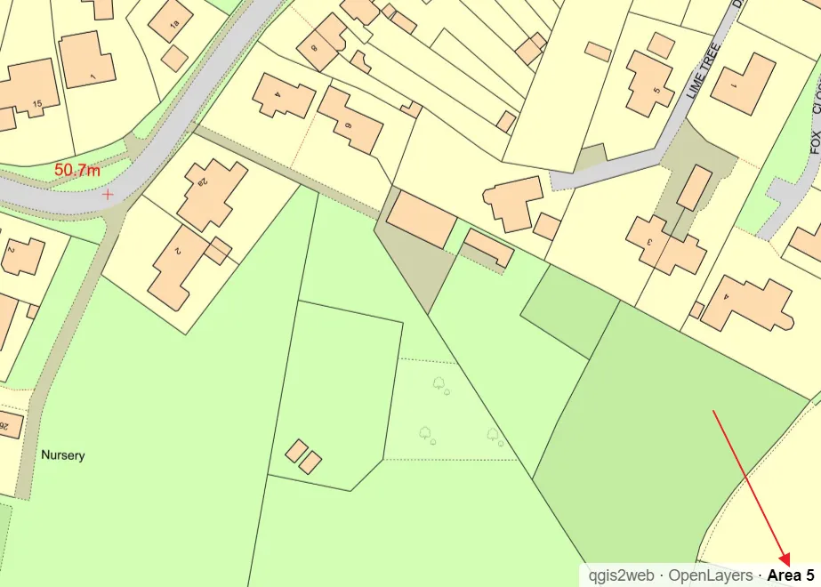
QGIS2web legend & scale and other elements in OpenLayers map library

QGIS legend and scale edits

Legend and scale besides the pop-up window and labeling is another important map element, which everyone wants to have clean and tidy. In this shorter (I hope) article I want to explain to you how to customize the legend for your OpenLayers map generated by the QGIS2web plugin and add some relevant elements like a … Read more