Displaying OpenInfraMap data in QGIS

OpenInfraMap in QGIS

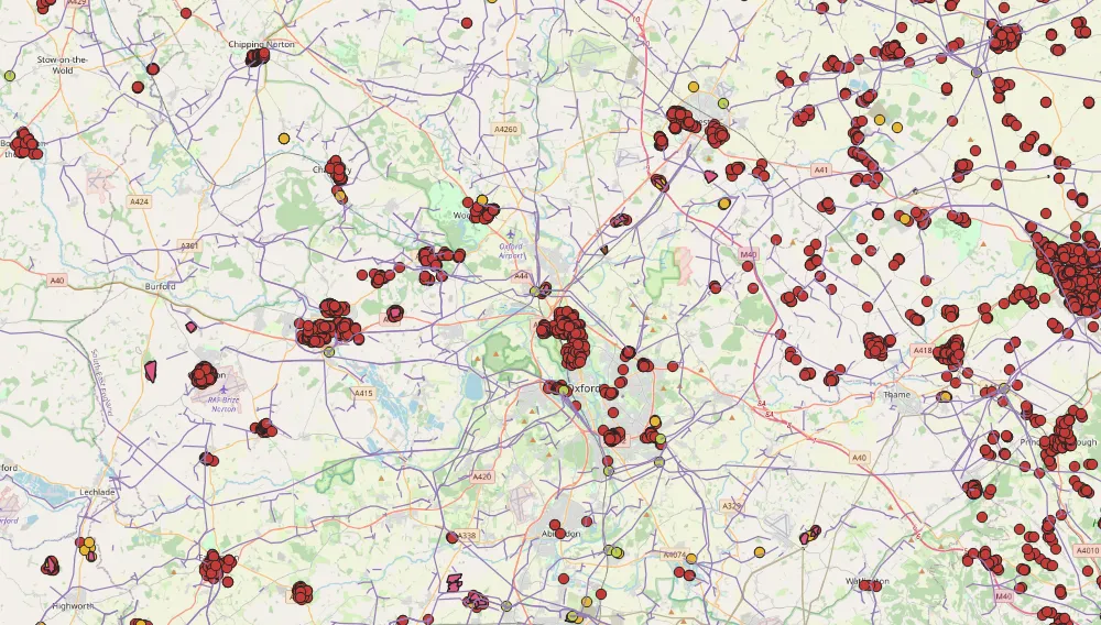
OpenInfraMap is one of many OpenStreetMap projects, which is concentrated on highlighting the infrastructure worldwide. Predominantly this infrastructure is invisible in the major OpenStreetMap rendering but is directly sourced from OpenStreetMap. The OpennInfraMap is focused on displaying: – Power, – Solar generation, – Petroleum (Oil & Gas), – Water infrastructure, – Telecoms. The map is … Read more

Saving Openlayers custom drawings as the .geoJSON file

OpenLayers custom drawings

In this short post, I would like to demonstrate to you the programmatic method of saving the custom shapes in OpenLayers as the .geoJSON file. Drawing your own features on the OpenLayers map canvas equipped with some existing layers, like it takes place in the case of the map rendered by the QGIS2Web plugin can … Read more

Digitizing administrative maps in Google Earth

Google Earth digitizing maps

The digitizing process is needed when we want to transform our map into vector data. This process is aimed at tracing the map features, which later appear as coordinates in either point, line, or polygon format. Digitizing is essential in the case where our data cannot be instantly integrated with the other GIS data. In … Read more

Upload vector layers to Windy.com in order to check the weather for your trip

KML layer at Windy.com

It’s been about half a year since Windy.com launched an option to upload .kml, .gpx and .geojson files into the weather map. It happened thanks to the Leaflet-kml plugin, available here. Apart from the Leaflet Javascript API map software, where we can use this plugin for loading our own .kml files, we can add them … Read more

Excel Spreadsheet batch data geocoding for GeoJSON and JSON files

GeoJSON output in Leaflet

Recently I was dealing with geotagging single addresses in Google Maps and other easily accessible tools. However, the stuff, that I focused on is playing around with single placemarks only. I believe, that this operation is much more useful when we take into account not only the address but other details, related to this place. … Read more

How to make an isochrone map in Google MyMaps quickly?

Google Mymaps isochrone map

The Isochrone map shows how much time we need to travel between one location and another. This kind of map is very useful in geography, hydrology, transport and urban planning. In this article, I focus on transport planning only. There are a few major services, offering the isochrone map generations “for free” relatively quickly. Unfortunately, … Read more