Tagged: OpenstreetMap

2

Downloading OpenStreetMap vector datasets effectively

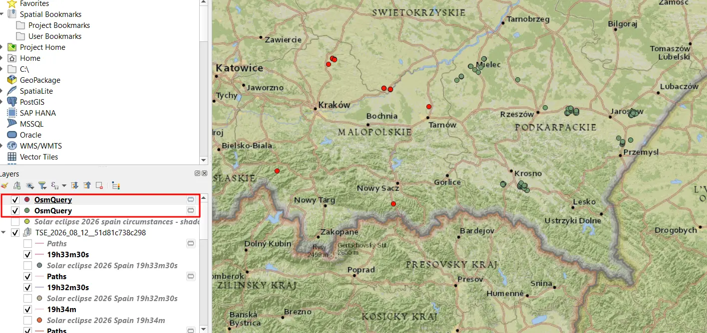
OpenStreetMap platform is a worldwide free geographic database, updated and maintained by free volunteers. The primary advantage of this platform is the availability of the data, which can be downloaded anytime by the user...

1

Effective geocoding in Python free of charge

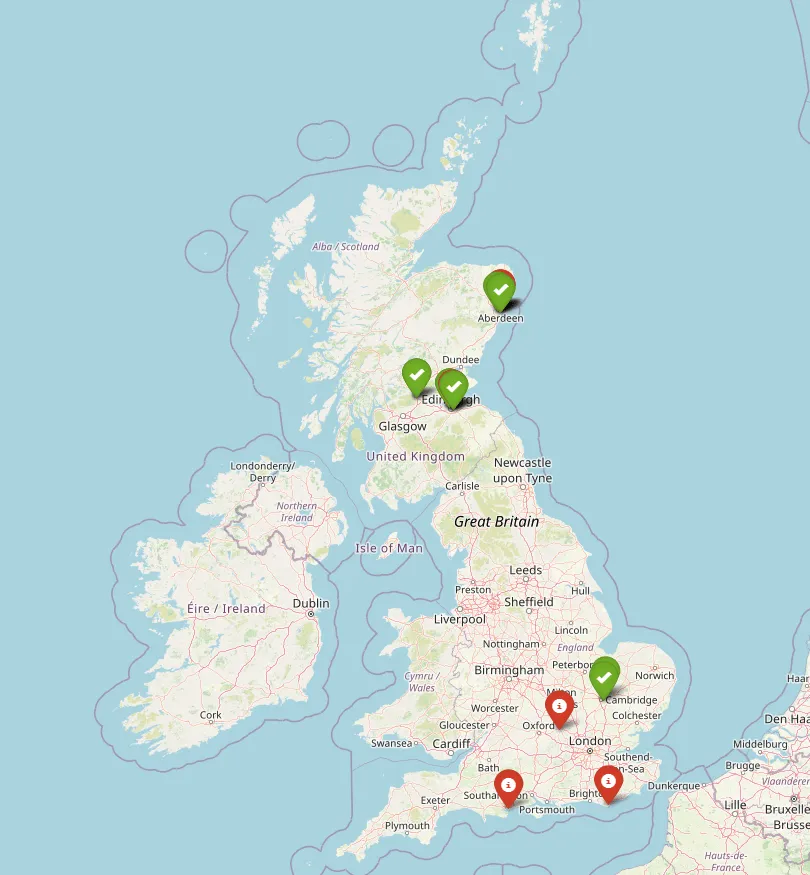
In this short text, I would like to share my approach regarding the simple Python geocoding tool. This tool is completely free and I’ve implemented some elements for its usability, which should make it...

0

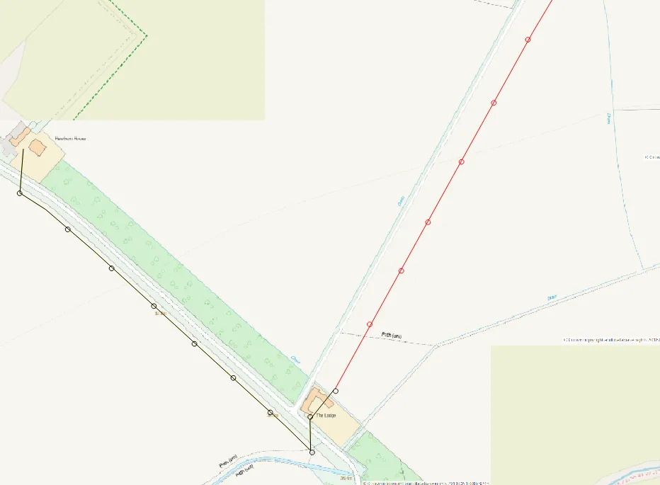
Displaying OpenInfraMap data in QGIS

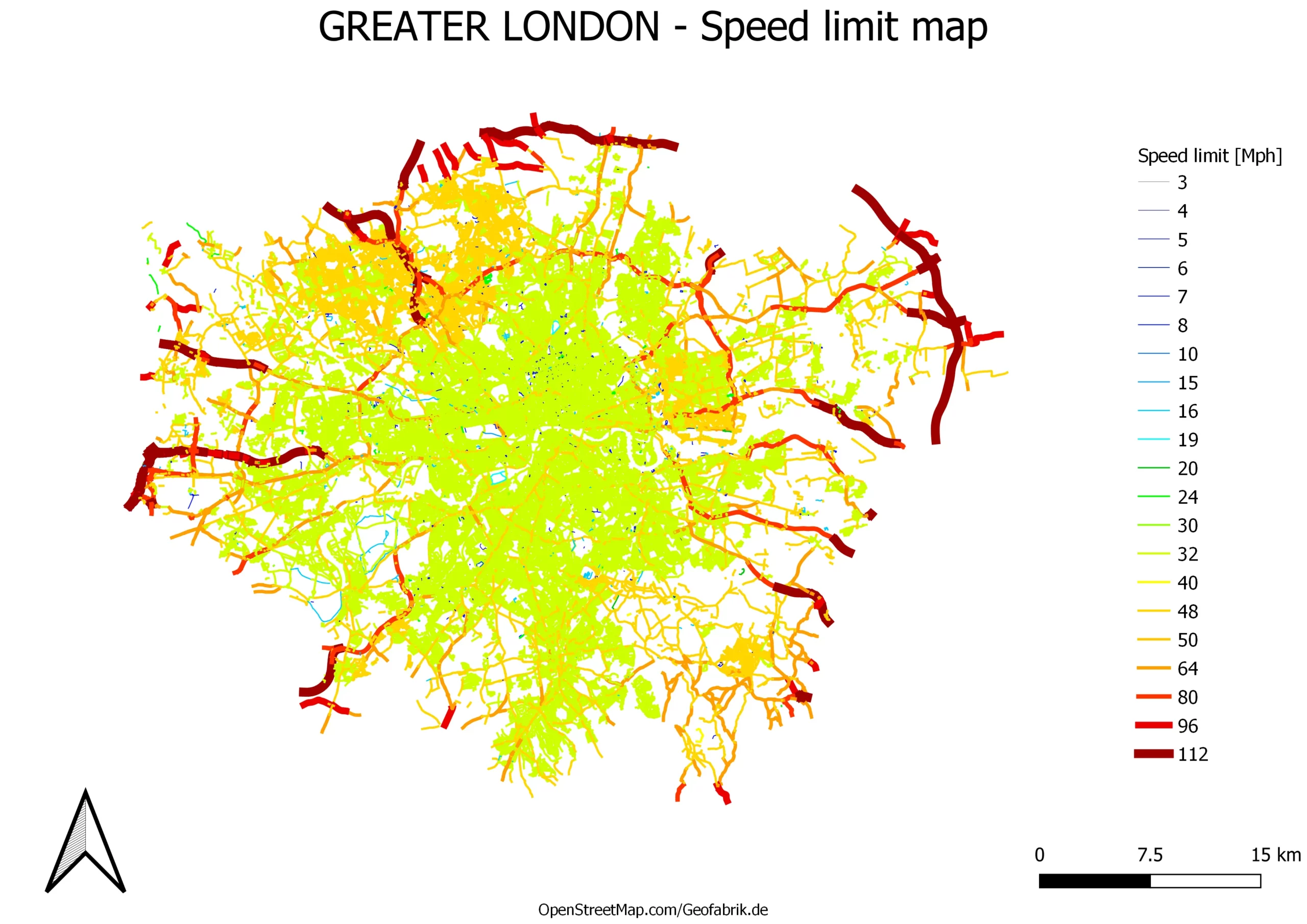
OpenInfraMap is one of many OpenStreetMap projects, which is concentrated on highlighting the infrastructure worldwide. Predominantly this infrastructure is invisible in the major OpenStreetMap rendering but is directly sourced from OpenStreetMap. The OpennInfraMap is...

0

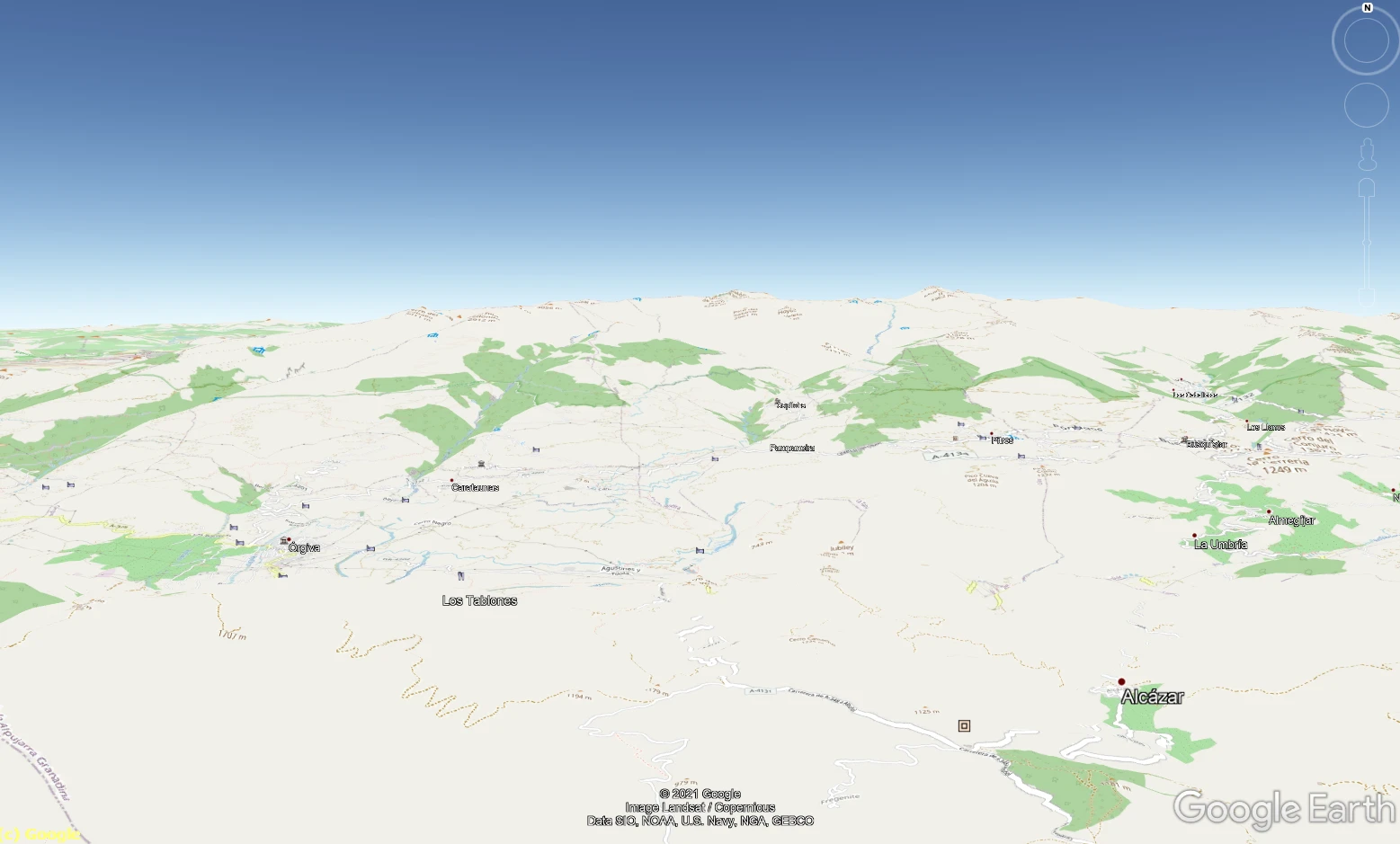
Travelling & Sightseeing from home

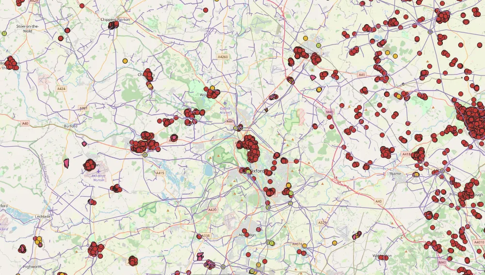
Now is not the best time for traveling around the world, because it’s restricted due to the coronavirus outbreak worldwide. Nevertheless, if our life is affected by a pandemic or not, this type of...