Saving Openlayers custom drawings as the .geoJSON file

OpenLayers custom drawings

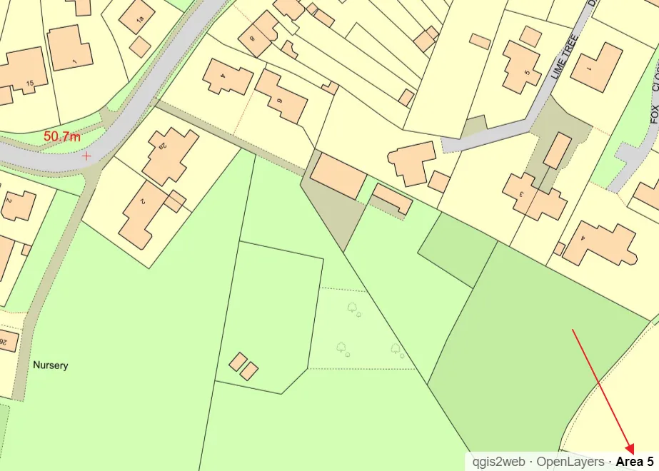
In this short post, I would like to demonstrate to you the programmatic method of saving the custom shapes in OpenLayers as the .geoJSON file. Drawing your own features on the OpenLayers map canvas equipped with some existing layers, like it takes place in the case of the map rendered by the QGIS2Web plugin can … Read more

Bulk text field name changes in multitude of KML files without programming knowledge

Bulk text name changes in KML files

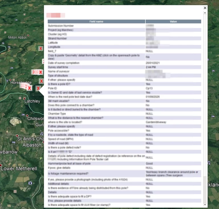
In this thread, I would like to describe a swift method, which allowed us to make some changes within the .kml files. I am focusing on the names of columns inherited from the .shp files, although the described method can be applied to other texts and even some values too.  What is most important, we … Read more

QGIS2web legend & scale and other elements in OpenLayers map library

QGIS legend and scale edits

Legend and scale besides the pop-up window and labeling is another important map element, which everyone wants to have clean and tidy. In this shorter (I hope) article I want to explain to you how to customize the legend for your OpenLayers map generated by the QGIS2web plugin and add some relevant elements like a … Read more

Creating your own speed limit map in QGIS and showing it interactively in Google Maps

Recently I showed you how to collect the speed limit data about the specified section of the road. It’s obviously a huge step toward the speed limit map preparation.  Reading the last article you got to know some examples of beautiful and very useful speed limit maps. In this reading, you will get knowledge about … Read more

Good solution to georeferencing the AutoCAD DWG drawing in QGIS 3x

Georeference DWG files in QGIS

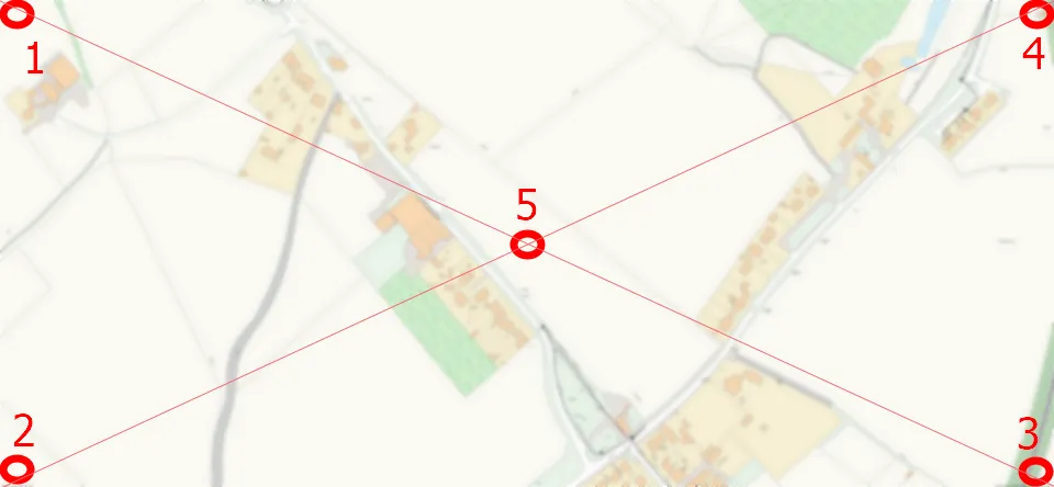
Today I would like to demonstrate how to georeference the AutoCad .dwg file in QGIS. The .dwg extension keeps layers, colours, line thickness etc. in other words all information included in the drawing file. This is the biggest advantage of drawing files over another AutoCad extension – the .dxf. This format, on the other hand, … Read more

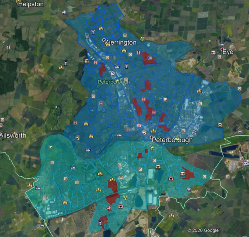
Digitizing administrative maps in Google Earth

Google Earth digitizing maps

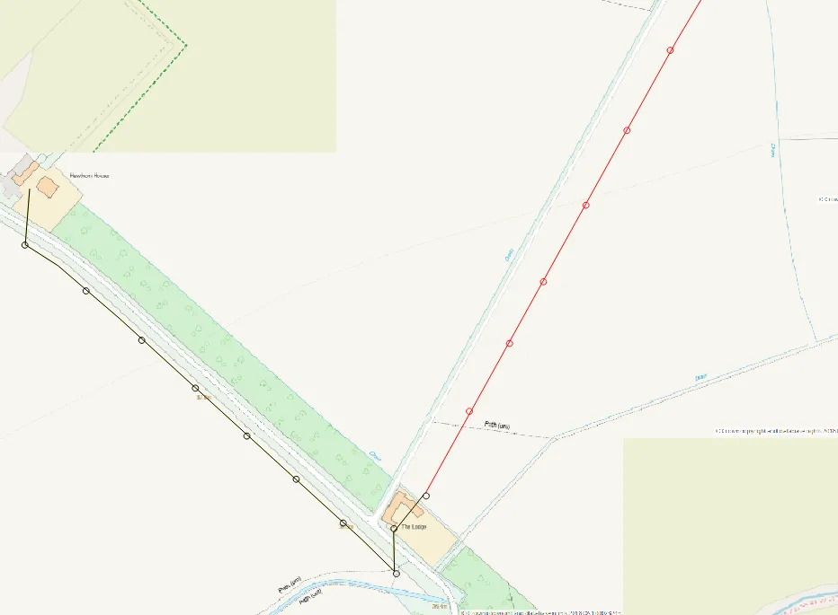
The digitizing process is needed when we want to transform our map into vector data. This process is aimed at tracing the map features, which later appear as coordinates in either point, line, or polygon format. Digitizing is essential in the case where our data cannot be instantly integrated with the other GIS data. In … Read more