
The flood simulation in Google Earth
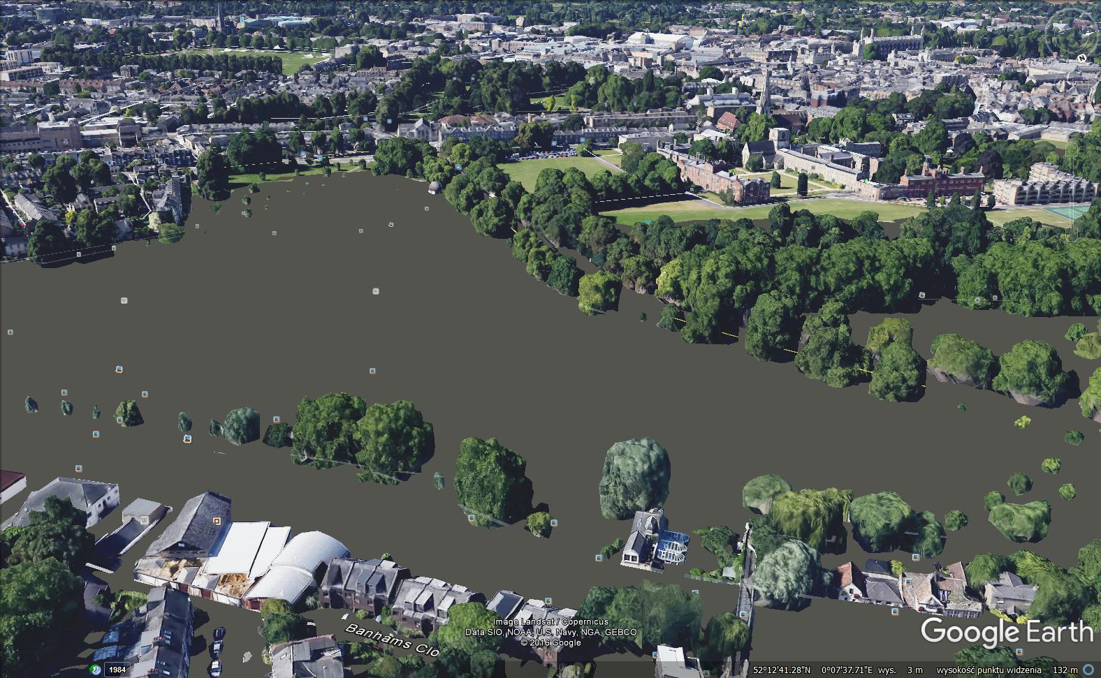
Introduction Google Earth is a handy tool to browse terrain in any part of the globe. Due to detailed satellite imagery, you are able to characterize the interesting area in any line of geographic research. Nowadays 3D quality imagery manages to develop across the World, especially in the most populated areas. The 3rd dimension of … Read more