Manual estimation of the visual range between two artificial objects – case studies

Manual estimation of view between two points

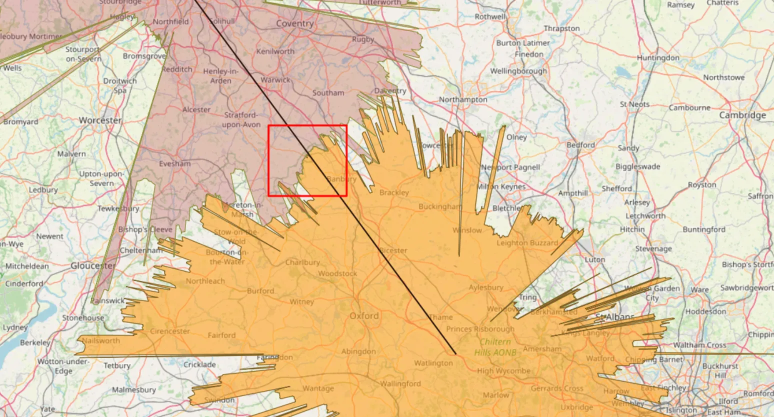
Anyone, who deals with long-distance observations knows all the most popular panorama or visibility cloak generators from the given place. Every user knows the primary malady of all these simulators – they’re based on the DEM (Digital Elevation Model) only. In practice, it means, that all the calculations are based on the pure ground with … Read more

5 fantastic tips & tricks for the Ulrich Deuschle panorama generator

Udeuschle blueness of the horizon

If you are interested in long-distance observations or simply panoramic views from some location, mainly mountain peaks or hills, you should have heard about the Ulrich Deuschle panorama generator. This is the web-based tool, which in 2010 successfully superseded its predecessor – Kashmir 3D software, which was based on simple digital elevation model (DEM) files … Read more

Rendering the Heywhatsthat.com horizon in Stellarium

Rendering Heywhatsthat.com horizon in Stellarium

I am very excited to announce to you a brand new tool, which has been developed just after the newest Stellarium edition was released. I mean the Stellarium version 0.2 onwards, which is the reach of new features. One of them is the possibility of loading the polygonal type of horizon, known by many of … Read more

Astrophotography with the Peakfinder.org, part 1 – Sun & Moon

Peakfinder Teide sunset

Taking a picture of mountains with sunset or moonrise in the background is a nice experience. Some of the photographers used to do this accidentally when travelling. People, who know the area better usually can predict exactly what time the Sun or Moon will rise & set above the outlined mountain communities or closer peaks. … Read more

Using Heywhatsthat.com to generate a multiple summit-perspective views in Google Earth – part 2

Heywhatsthat multi-summit panorama2

In this part of the article, I would like to say more about multiple summit-perspective views in Google Earth. First of all, previously I have described largely how to manage the heywhatsthat.com panoramas in Google Earth. Now you will see how to put a few summits into your Google software and manage them correctly. Let’s … Read more

Using Heywhatsthat.com to generate a multiple summit-perspective views in Google Earth – part 1

Heywhatsthat multi-summit panorama

Google Earth has been widely used in geography and GIS. Previously I showed you how to simulate a flood and total solar eclipse path in this tool. There are not only things, that I am going to show you over the forthcoming months. First of all, Google Earth is one of the programs, that I … Read more

At the top of The Shard

View from The Shard

Being at the top of The Shard building was a part of my 29th birthday surprise prepared by my fiancee. We went that day to London for a one-day trip to visit a few less-visited spots and round off our day on The Shard building in the evening. My fiancee’s plan stated, that we would … Read more