Downloading OpenStreetMap vector datasets effectively

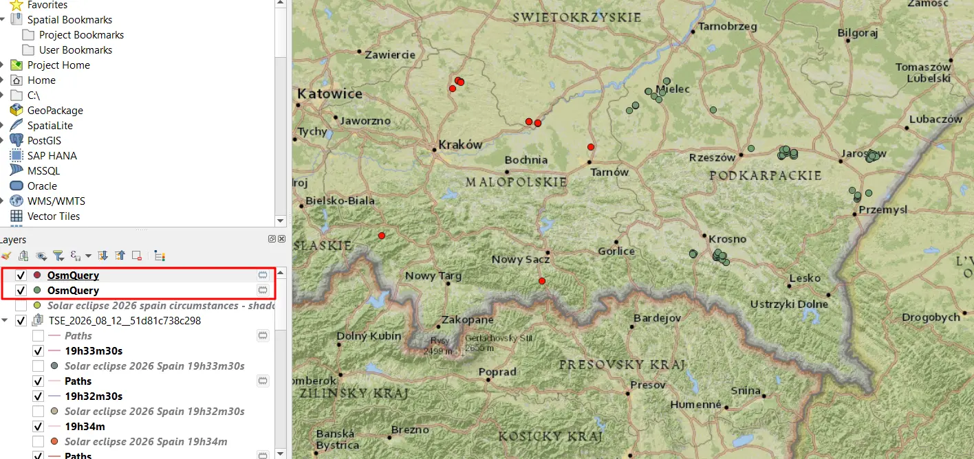
OpenStreetMap data download to QGIS

OpenStreetMap platform is a worldwide free geographic database, updated and maintained by free volunteers. The primary advantage of this platform is the availability of the data, which can be downloaded anytime by the user unlike Google Maps, which requires appropriate payments. In fact, there are a few options for getting the GIS vector data from … Read more

A guide for displaying the Sweet Home 3D model in Google Earth

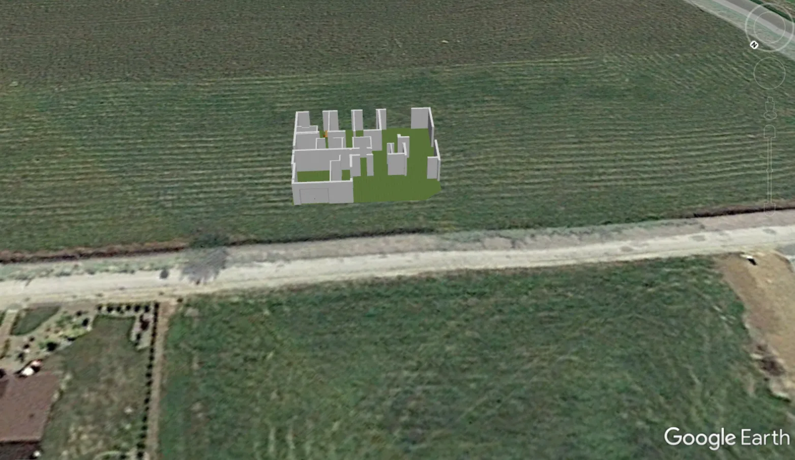
Sweet Home 3D model in Google Earth

Sweet Home 3D is an open-source architectural design software, mostly dedicated to interiors, which helps users create a 2D plan of a house with a 3D preview. In this design software, a user can also decorate exterior and interior views by placing a multitude of objects. These objects are mostly furniture and home appliances, which … Read more

How to show the coordinate grids in Google Earth and Google Maps?

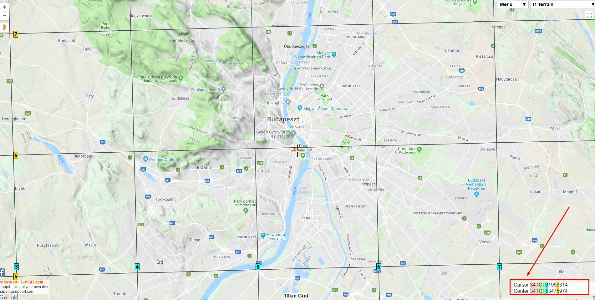
Google Maps MGRS

There are a few ways to show the coordinate grids on Google Earth. The easiest way to show the coordinate grids in Google Earth is to select “Grids” from the “Tools” options. Then you will have full zoomable coordinates grid cover (Pic 1 – 3). The default coordinate system bound to Google Earth is the … Read more