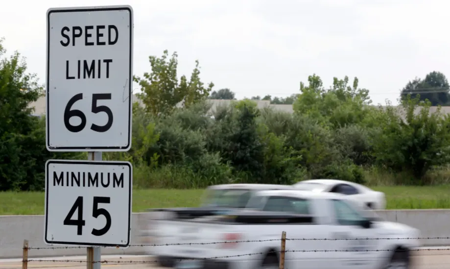
The simplest way to check the road speed limit
The road speed limit is somewhat guidance of what speed is considered safe and reasonable in the given section of the road or area. The primary goal of the speed limit is to keep...
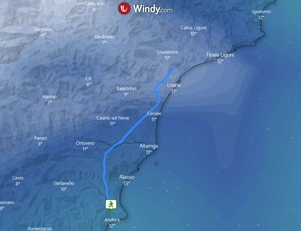
It’s been about half a year since Windy.com launched an option to upload .kml, .gpx and .geojson files into the weather map. It happened thanks to the Leaflet-kml plugin, available here. Apart from the...
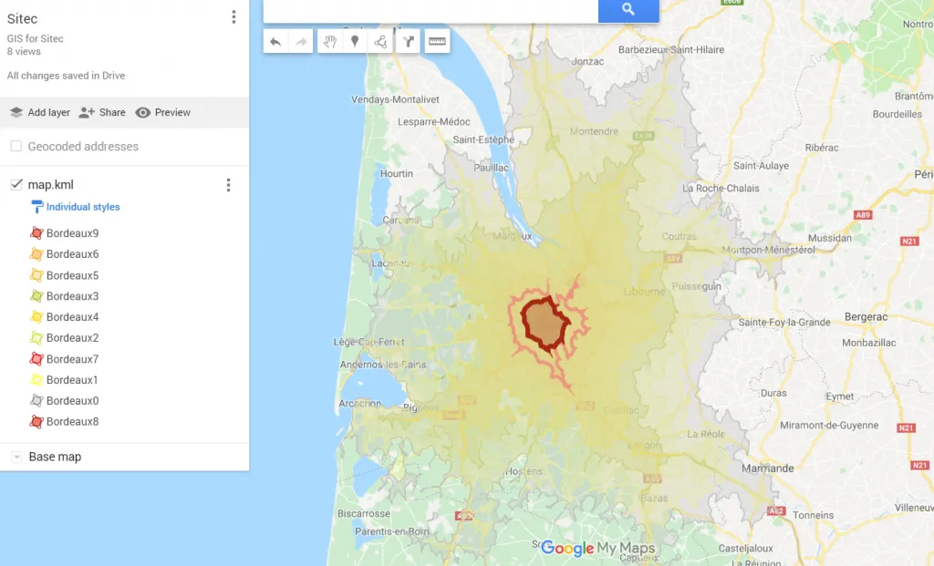
The Isochrone map shows how much time we need to travel between one location and another. This kind of map is very useful in geography, hydrology, transport and urban planning. In this article, I...
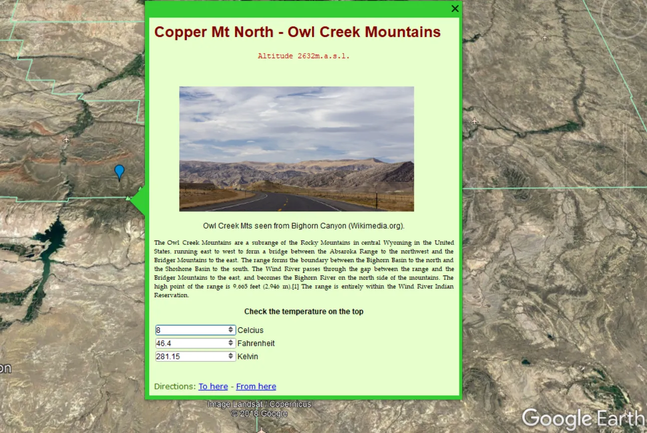
In my previous article, I clarified the link management in the relation between Google MyMaps – .kml files – Google Earth and the other way around. Now, as a continuation, I would like to...
Google MyMaps is a very useful tool for people, who want to create their own map and base it on the Google Maps interface. Personally, I use it quite often, especially when planning some...
Google Maps, as well as Google Earth, are very useful tools in terms of location finding. A user can find a proper address quickly in any place in the World. Sometimes we are obligated...
<<< Read the 1st part of The solar eclipse visualization on Google Earth In the 1st part of this article, I showed you how to create the “umbra” in Scribble Maps and use it...
This article presents how to vizualise the total solar eclipse on the most renowned geographical tool, the Google Earth.