Geolocation large drawings in AutoCAD LT
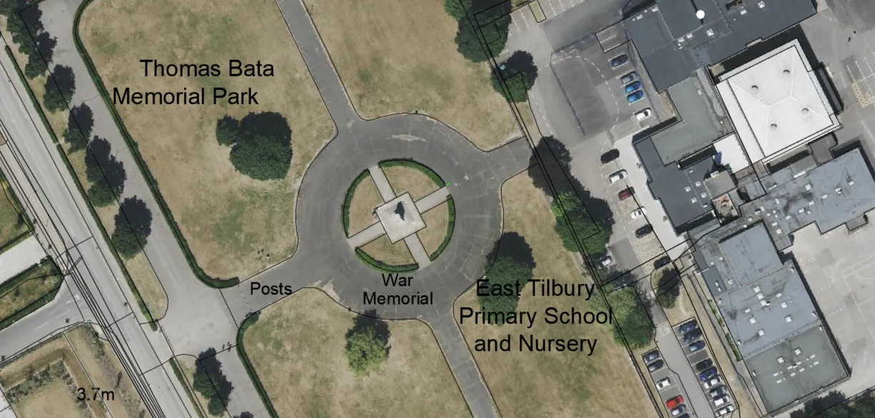
In this post, I would like to bring you some knowledge about the geolocation of drawing in the AutoCAD LT version. At some point, you can find here some repeatable stuff showing you the relevant steps for making this task successful. However, I wouldn’t have decided to post this article if I had seen the … Read more


