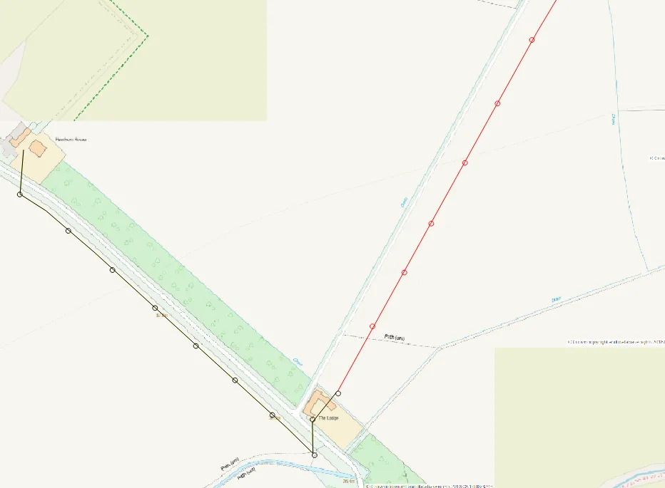
AutoCAD LT – Zoom (search) by coordinates

AutoCAD LT zoom by coordinates

I would like to show you a nice feature in this short article.  You can use it in your AutoCAD software and the LT version. It applies to searching (or zooming) the object by coordinates. When can it be useful? Usually, in the case of validation of your projects, you have thrown some coordinates. Usually, … Read more

Good solution to georeferencing the AutoCAD DWG drawing in QGIS 3x

Georeference DWG files in QGIS

Today I would like to demonstrate how to georeference the AutoCad .dwg file in QGIS. The .dwg extension keeps layers, colours, line thickness etc. in other words all information included in the drawing file. This is the biggest advantage of drawing files over another AutoCad extension – the .dxf. This format, on the other hand, … Read more

How to get the floorplans from the MagicPlan app for free?

Magicplan floorplan

The Magicplan is an Android application, by which we can quickly draw the floorplan of any building i.e. camera scanning or corner defining. The spectrum of options looks wide, even in the free bundle because we can add some internal objects and furniture. This is the stuff, which is mostly needed for common work projects. … Read more