The quickest way of making the speed limit map
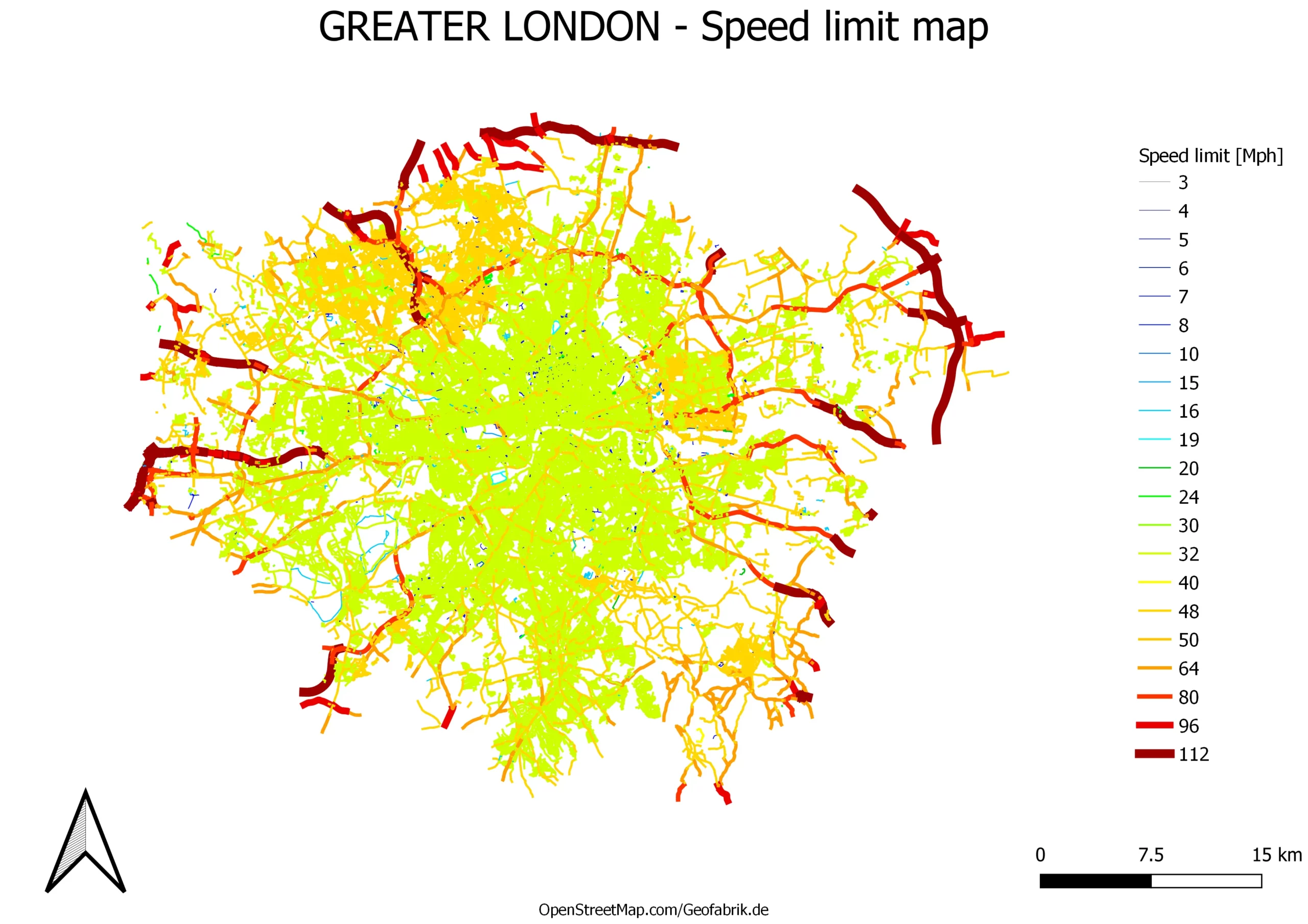
Previously I explained to you how to make the speed limit in QGIS and display it in Google Maps. This process required drawing the new layer including the speed limit of the given road sections collected from the Waze.com map service. Admittedly this is not the quickest way of getting a map such as this, … Read more