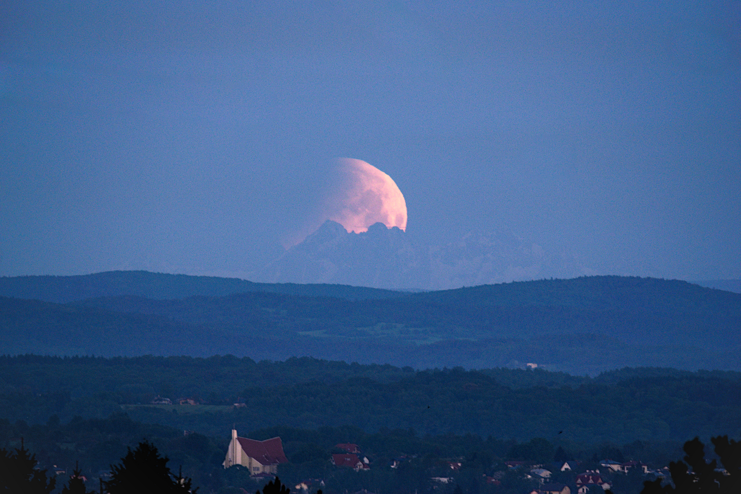
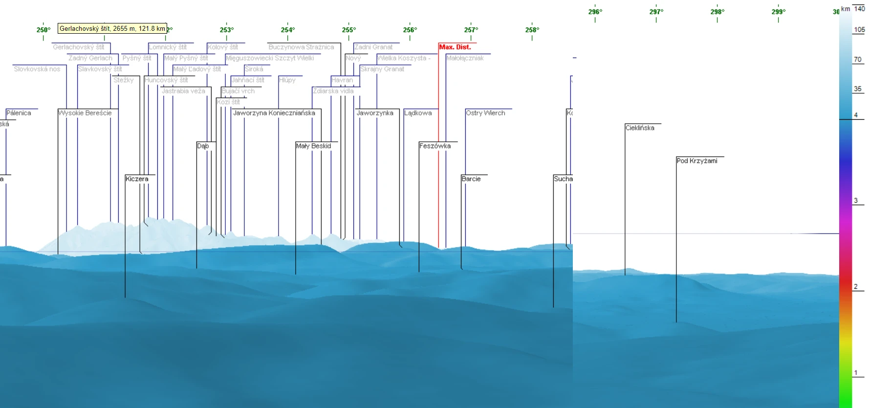
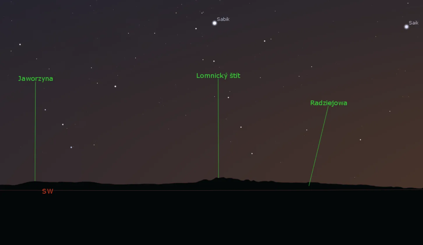
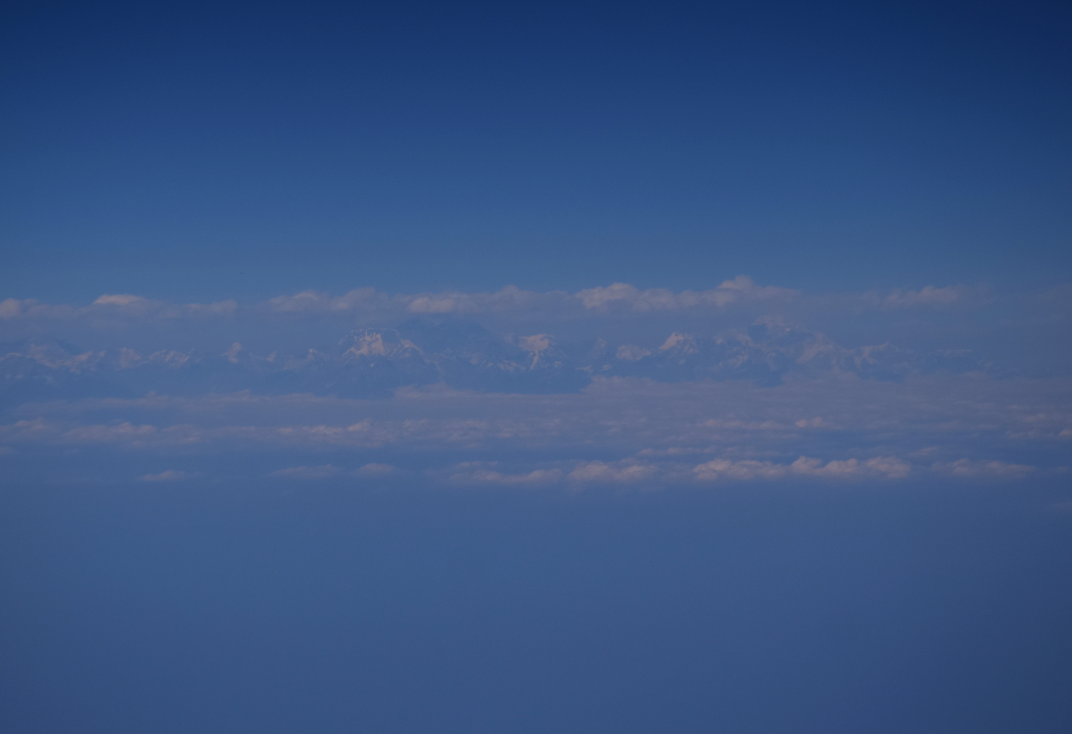
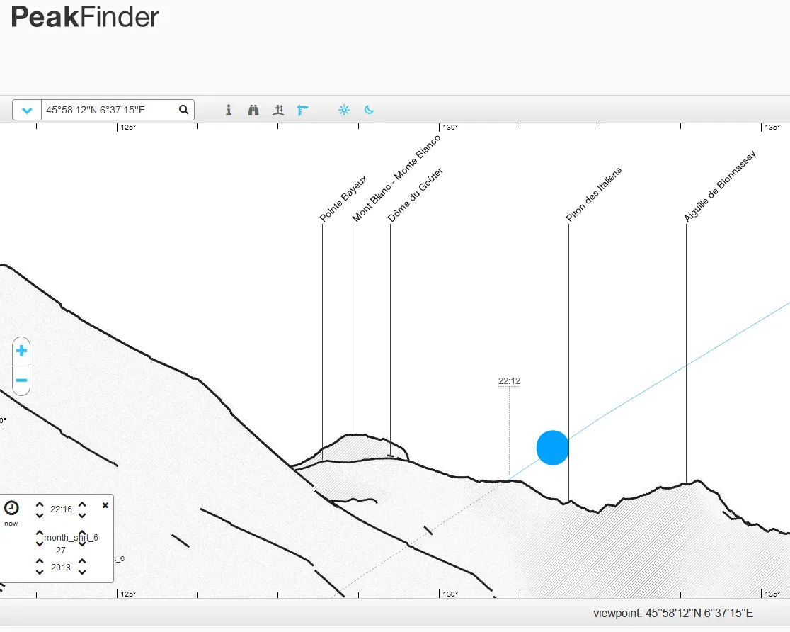
The text explains the rare phenomenon, in which the azimuths of moonrise and moonset are more extreme. This situation allows us to see distant landscape features with the lunar disk beyond. Learn more about the lunar standstill and its frequency across the centuries. The changes in moonrise/moonset azimuths can give you a clue of how some Megalithic constructions have been set and how the Moon’s path across the sky would have looked like thousands of years before. Moreover, the declination of the Moon isn’t the same. It changes significantly because of the parallax.
Poland
Just partial lunar eclipse of May 16th 2022
I had a good occasion to watch just a partial lunar eclipse from southeastern Poland – my homeland, this time. The event, although very short, will be remembered probably forever. Before I will get to this point, I must start from the beginning and describe the overall total lunar eclipse of May 16th, 2022 circumstances … Read more
Manual estimation of the visual range between two artificial objects – case studies
Anyone, who deals with long-distance observations knows all the most popular panorama or visibility cloak generators from the given place. Every user knows the primary malady of all these simulators – they’re based on the DEM (Digital Elevation Model) only. In practice, it means, that all the calculations are based on the pure ground with … Read more
The most unique astronomical events you shouldn’t miss in the 2021-2030 decade
Recently we have entered the new decade 2021-2030. This is a good time to take a look at what major astronomical events will occur throughout this time. I don’t mean typical celestial events, as known from a vast majority of astronomical calendars issued usually on a yearly basis. I would like to take a deep … Read more
5 fantastic tips & tricks for the Ulrich Deuschle panorama generator
If you are interested in long-distance observations or simply panoramic views from some location, mainly mountain peaks or hills, you should have heard about the Ulrich Deuschle panorama generator. This is the web-based tool, which in 2010 successfully superseded its predecessor – Kashmir 3D software, which was based on simple digital elevation model (DEM) files … Read more
Fireworks around the world! Happy New Year 2021 to everyone!
Another year is coming now. The year will open the 3rd decade of the XXIth century. Time flies. It looks like it’s already 5th time when I am wishing you a Happy New Year! As usual, I would like to share with you the memories from this special night, which is already around the corner … Read more
Rendering the Heywhatsthat.com horizon in Stellarium
I am very excited to announce to you a brand new tool, which has been developed just after the newest Stellarium edition was released. I mean the Stellarium version 0.2 onwards, which is the reach of new features. One of them is the possibility of loading the polygonal type of horizon, known by many of … Read more
One day trip to Uzhanian National Park from Wołosate
GENERAL INFORMATION ABOUT THE WOŁOSATE – ŁUBNIA BCP Wołosate is a small, and the southernmost village in Poland, which sticks to the Poland – Ukraine border in Bieszczady Mts. The only road, which leads across the village from Ustrzyki Górne is regional road no 897 with a 111km total length from Tylawa to the Poland-Ukraine … Read more
The hottest summer in Britain and Europe
Being abroad in Great Britain I was fortunate to witness the hottest summer, that ever occurred in the British Isles. Because I am from Poland, in this article I would like at least a bit to compare last British Summer with the Polish one and say a little bit about this summer in general, referring … Read more
Remote observation of the total lunar eclipse
Since I bought the DSLR camera I dreamt about the total lunar eclipse observation. I wanted to repeat my observation scheme on different, much better equipment. Recently I observed the total lunar eclipse in 2015 with a compact camera only. Therefore the total lunar eclipse occurring on Friday evening 27th of July 2018 was a … Read more
Long lens photography from the plane – how it works?
I really like to snap remote objects and mountain outlines. Especially since I got the new telephoto lens – Nikon AF-S Nikkor 55-300mm f4.5-5.6 ED VR. Covering the distant sights from the ground is not only one option, but that may also give you a lot of positive feelings. You can also enjoy a much … Read more
Astrophotography with the Peakfinder.org, part 2 – solar & lunar eclipses
In the 2nd part of this short guide on the Peakfinder.org panorama generator, I would like to focus on another kind of observation, that we can enjoy. There are solar & lunar eclipses. Those celestial events are quite rare (especially solar eclipses) so this is the prime reason, that we should prepare as best as … Read more
Astrophotography with the Peakfinder.org, part 1 – Sun & Moon
Taking a picture of mountains with sunset or moonrise in the background is a nice experience. Some of the photographers used to do this accidentally when travelling. People, who know the area better usually can predict exactly what time the Sun or Moon will rise & set above the outlined mountain communities or closer peaks. … Read more
Using Heywhatsthat.com to generate a multiple summit-perspective views in Google Earth – part 2
In this part of the article, I would like to say more about multiple summit-perspective views in Google Earth. First of all, previously I have described largely how to manage the heywhatsthat.com panoramas in Google Earth. Now you will see how to put a few summits into your Google software and manage them correctly. Let’s … Read more
Using Heywhatsthat.com to generate a multiple summit-perspective views in Google Earth – part 1
Google Earth has been widely used in geography and GIS. Previously I showed you how to simulate a flood and total solar eclipse path in this tool. There are not only things, that I am going to show you over the forthcoming months. First of all, Google Earth is one of the programs, that I … Read more
ISS transit across the Sun & Moon
The International Space Station (ISS) is a habitable artificial satellite in low Earth orbit. This is the largest human-made body in low Earth orbit. The width of ISS is 108.5 m and its length is 72.8 m. It orbits about 400 kilometers above the planet so it can often be seen with the naked eye … Read more
The flood simulation in Google Earth
Introduction Google Earth is a handy tool to browse terrain in any part of the globe. Due to detailed satellite imagery, you are able to characterize the interesting area in any line of geographic research. Nowadays 3D quality imagery manages to develop across the World, especially in the most populated areas. The 3rd dimension of … Read more
Papież Jan Paweł II na Ziemi Krośnieńskiej
W niniejszym artykule pragnę przywołać moje wspomnienia z pobytu Ojca Świętego w moim rodzinnym mieście. Jego wizyta miała miejsce podczas VI-ej pielgrzymki do Ojczyzny w dniach 30.05-12.06. Mija właśnie 20 lat od tamtych wydarzeń. Pamiętam je bardo dobrze jako 10-letni chłopiec – uczeń 3-ciej klasy szkoły podstawowej. Przywołam również kulisy przygotowań do tej uroczystości jak … Read more
Make a Virtual Travel Guide like Street View
A couple months ago I described my opinions about getting appropriate information about your own trip. I wrote this to the tour guides mainly however, this issue applies to everyone who is planning the trip and want to see and get to know about something interesting. I mentioned the kind of applications like (Google) Travel … Read more