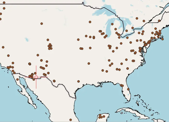
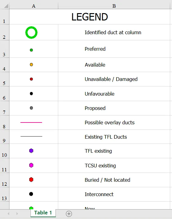
Breaking down the Street View permalink

Street View car

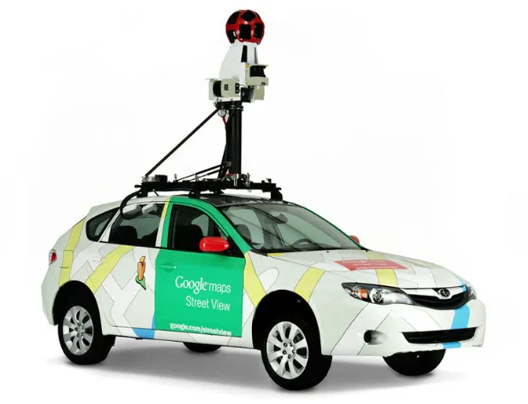
Google Street View is a technology, which provides interactive and multiperspective panoramas of many places and streets worldwide. It’s commonly used on a daily basis, but hardly anyone pays attention to the permalink displayed in the URL address bar. In fact, some programmers use it for instant opening the Street View roughly at the desired … Read more

AutoCAD LT – Zoom (search) by coordinates

AutoCAD LT zoom by coordinates

I would like to show you a nice feature in this short article.  You can use it in your AutoCAD software and the LT version. It applies to searching (or zooming) the object by coordinates. When can it be useful? Usually, in the case of validation of your projects, you have thrown some coordinates. Usually, … Read more

Making fibre FTTx schematics in QGIS

FTTX schematics QGIS

This article is dedicated to anyone, who works in the telecom industry and struggles with creating the FTTx schematics. We have several nice ways to combat our day-to-day work, although not all of them are for free – this is one reason. Another one refers to our particular project, which does not always fit with … Read more

Quick transfer the QGIS legend from print layout to Excel

Transfer legend from QGIS to Excel

Maybe you were wondering about the possibility of transferring the legend from the QGIS print layout to Excel? This short text shows you how to do it, especially for the simple legend, which won’t last long. The tutorial is oriented toward not programming-savvy people, therefore please don’t expect any kind of automatization here. Of course, … Read more

The quickest way of making the speed limit map

Speed limit map London OpenStreetMap

Previously I explained to you how to make the speed limit in QGIS and display it in Google Maps. This process required drawing the new layer including the speed limit of the given road sections collected from the Waze.com map service. Admittedly this is not the quickest way of getting a map such as this, … Read more

Displaying OpenInfraMap data in QGIS

OpenInfraMap in QGIS

OpenInfraMap is one of many OpenStreetMap projects, which is concentrated on highlighting the infrastructure worldwide. Predominantly this infrastructure is invisible in the major OpenStreetMap rendering but is directly sourced from OpenStreetMap. The OpennInfraMap is focused on displaying: – Power, – Solar generation, – Petroleum (Oil & Gas), – Water infrastructure, – Telecoms. The map is … Read more