

There are a dozen or so mountain bothies in the UK mountain areas (Scotland, North England, and Wales) where you can stay overnight for free.
It’s good to make a nice weekend then when the summer is coming. You can enjoy a very long, pleasant day and a warm night. I decided to go to Wales straight after the polish holiday on the first weekend of June (June 3-5). My basic itinerary contained accommodation in the nearest mountain bothy only. Beside I planned some relaxation in the mountains.
New accommodation idea and Scottish circumstances
My fiance found mountain bothies from the website last year. Finally, we decided to spend a couple nights in that huts during the next season. First time I was planning to sleep in the Glenbuck Bothy in Scotland. Glenbuck is the nearest hut to the route. Other mountain cottages in Scotland are practically inaccessible by car. However, Glenbuct Bothy is still far away from the road. You have to walk up to 5 km to reach the building.
When we went to Scotland on Easter 2016 the weather wasn’t so good. Since Good Friday afternoon, when the frond came we witnessed passing downpours. Besides we used to round off the daily trip program so late, as usual after dusk. Hence the opportunity to reach the bothy wasn’t so big. On Good Friday evening, we approached Aberchalder village, from where is the shortest way to Glenbuck Bothy. I was using captured the Google Earth satellite image pictures, which unfortunately didn’t show the way so clearly. I knew that I have to follow some narrow gravel way along the valley (Pic.1,2).

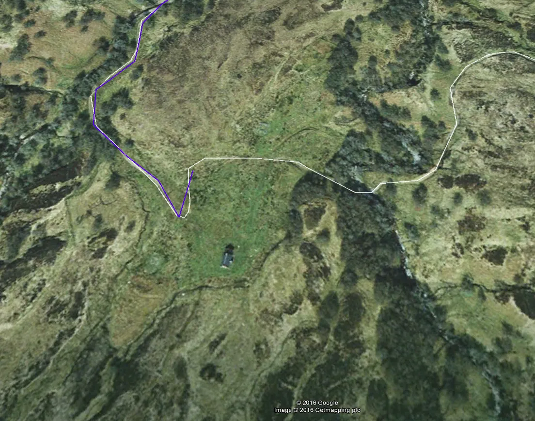
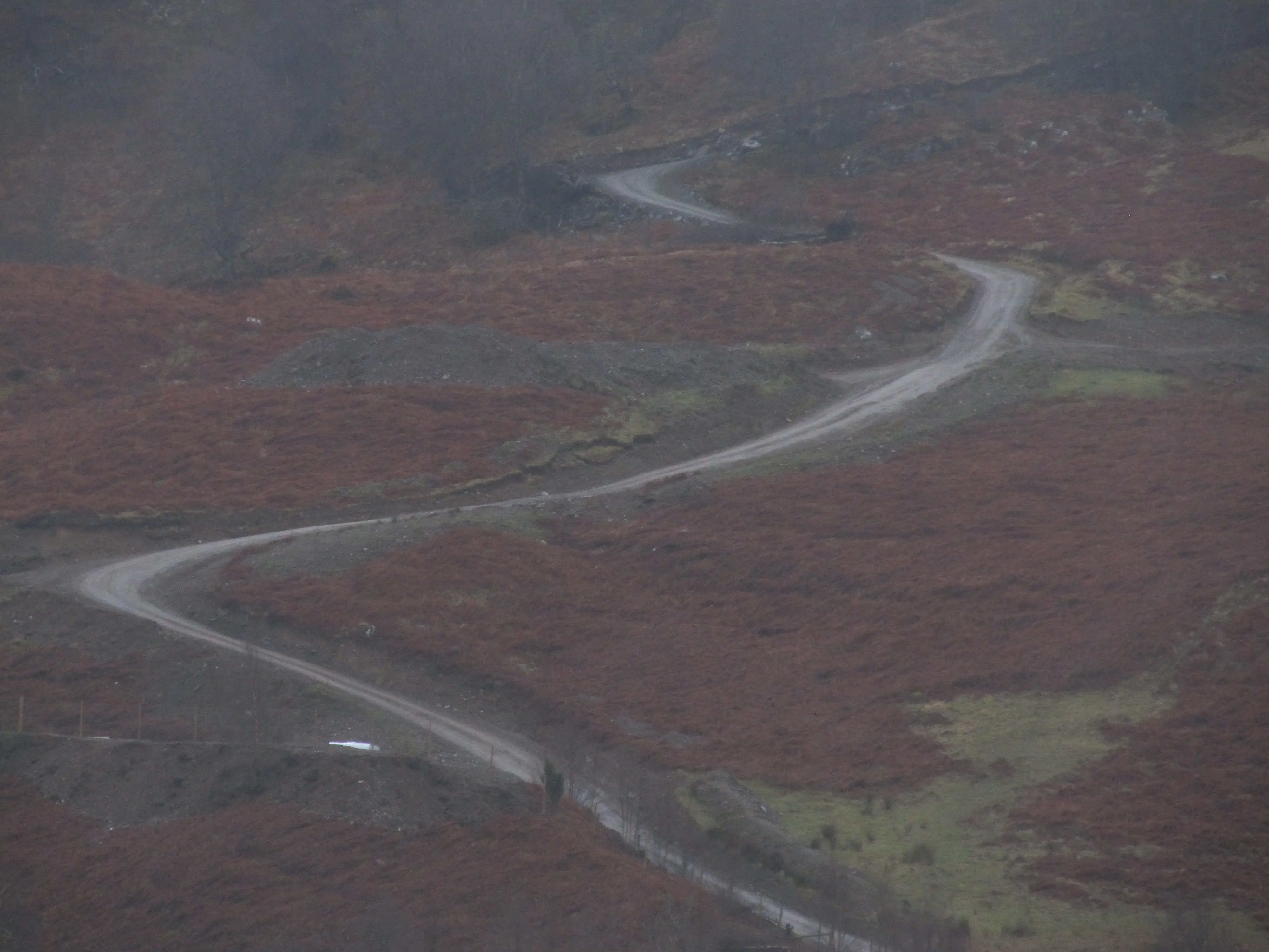
I decided to try to go there by car unless when I saw, that road goes too steep (Pic. 3,4).

It was impossible to reach the hut on foot, because of the weather. On Good, Friday
night was raining a lot, on top of that was only +4°C. We decided to sleep in the car next to the Aberchalder village on both Good Friday and Holy Saturday.
Second attempt – welsh bothy
We decided to repeat the bothy adventure obviously in much better weather. The nearest cataloged mountain shelter from Cambridge and Aylesbury is the Cwm Bach.
We started on Friday 3rd June after 7pm from Oxford. The route from Oxford to Rhayader, the closest town to Cwm Bach isn’t so long, but there is no neither motorways or express road (Pic. 5).
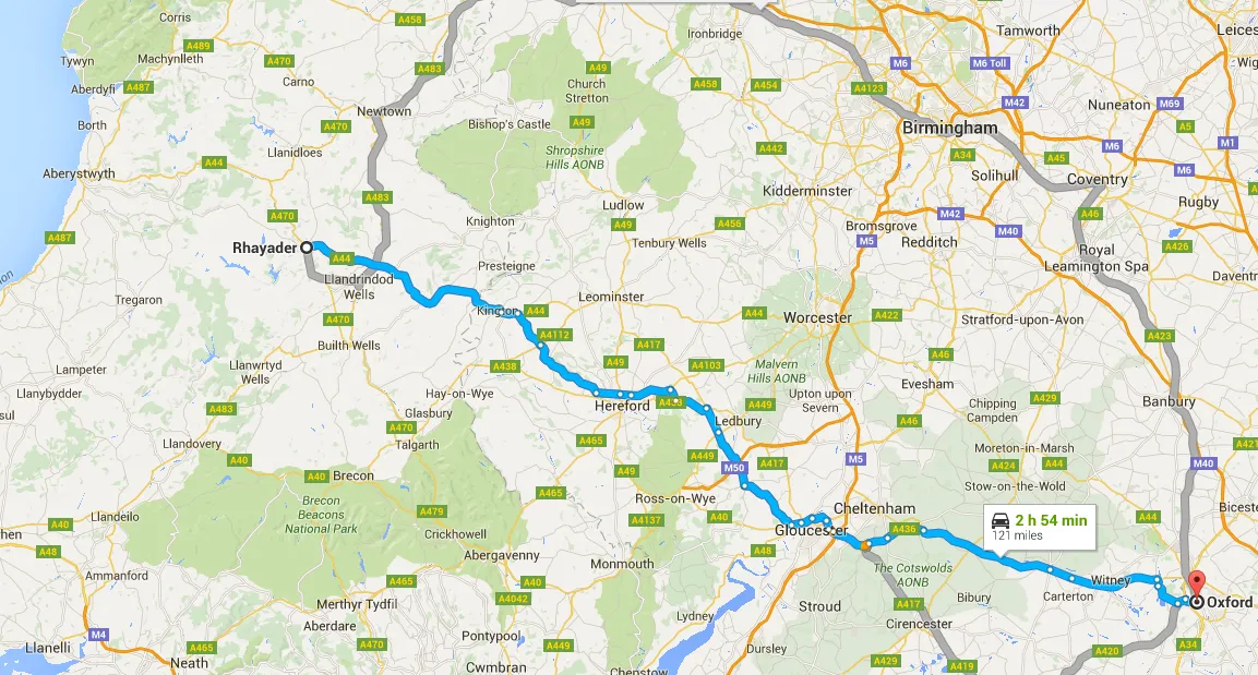
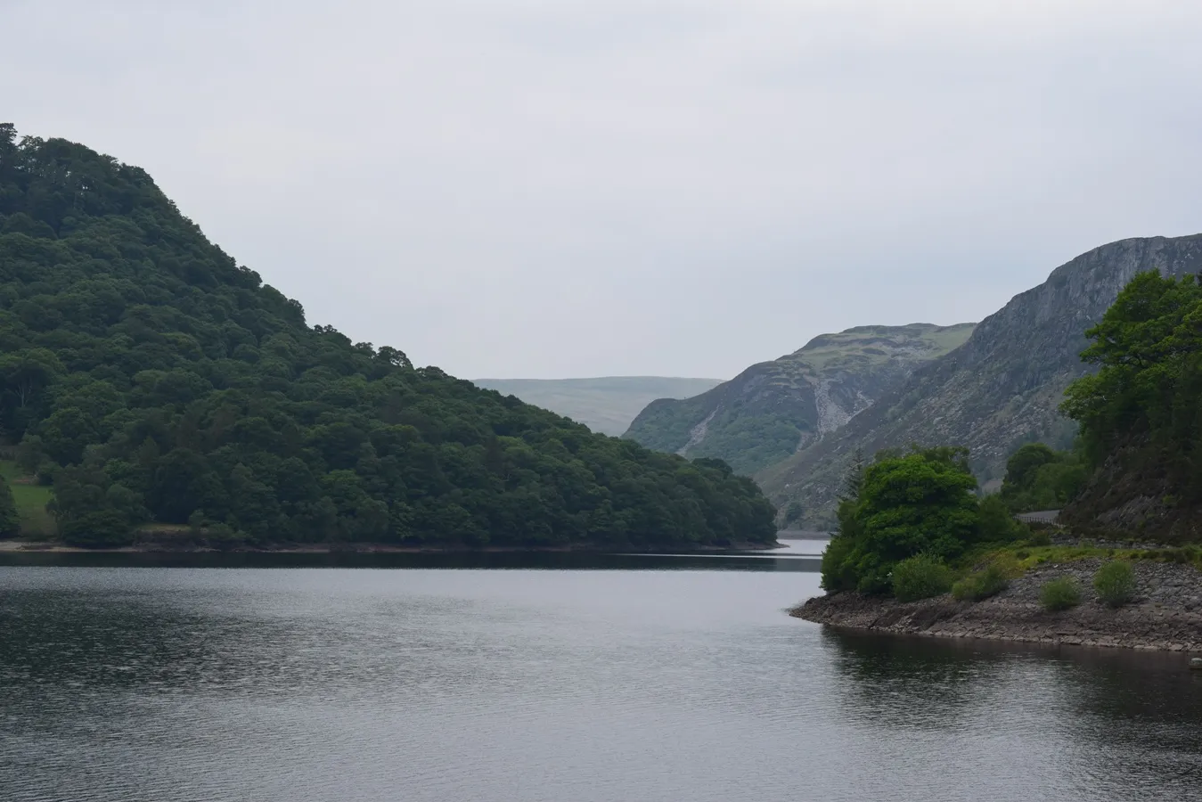
Besides, you can’t believe Google Maps, which always shows shorter travel time than normal. According to Google Maps, you are going at maximum speed as you can go on the road. However, the application doesn’t consider e.g traffic lights, roundabouts, and other vehicles, which may go slower. Finally, We were in Rhayader after 11pm. After the pass the Rhayader we had to head west towards beautiful Elan Valley, where the Cwm Bach is situated in.
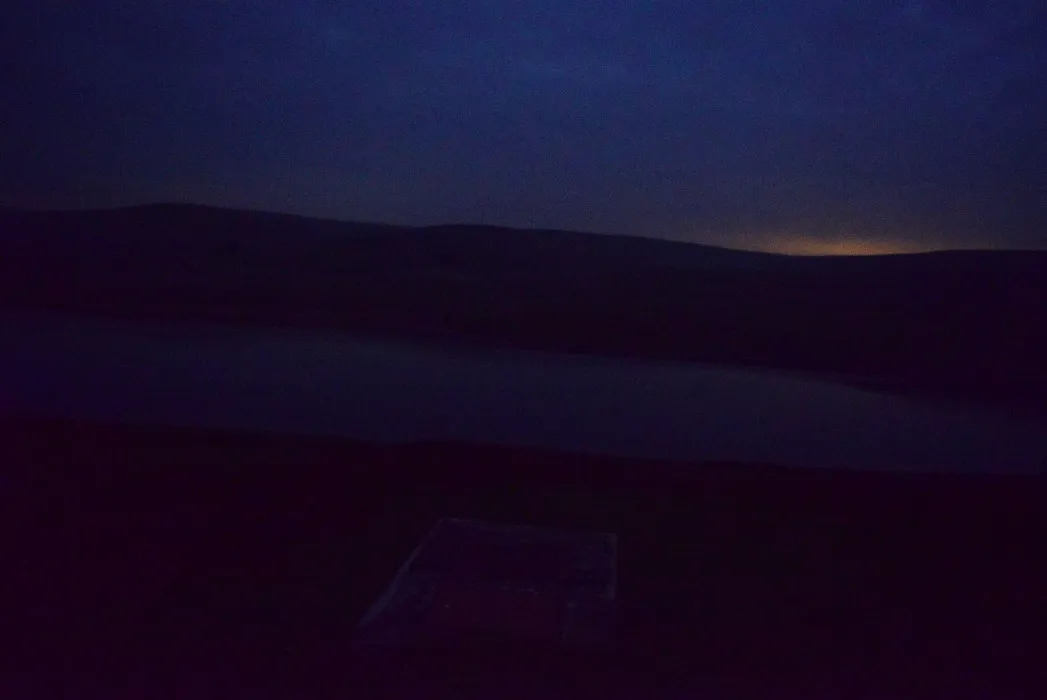
There are no bothies directly accessible by car in the UK so you have to leave your car in
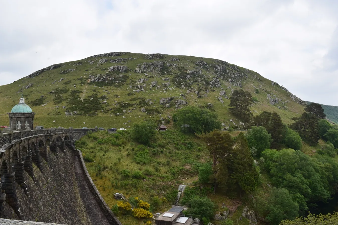
a different place. I left my car in the adjacent car park to Craig Coch Dam. Thence we set towards our overnight stay (Pic. 6,7).

It had been almost dark, then We used headlights to see where
we were going (Pic 8).
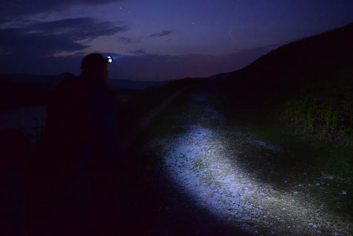
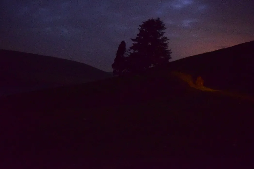
After the climb out of the valley, we were traversing the edge of the
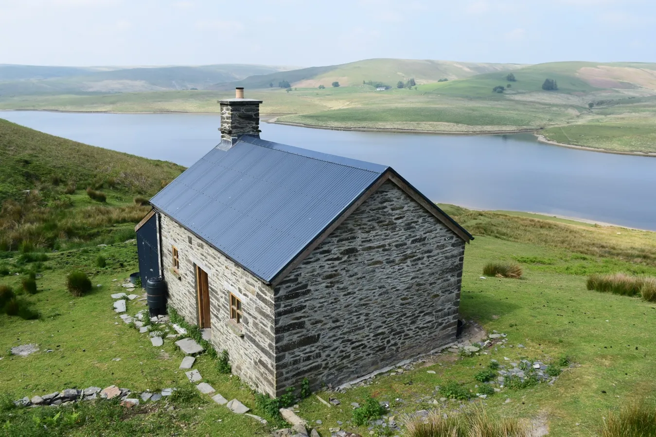
reservoir on the barely visible sheep trail. Finally, after nearly 2,8km very of a very difficult and unmarked trail, we reached our destination at 0:45am (Pic. 9,10,11).
Pic. 9 Inside the Cwm Bach bothy, Jun 4, 1:00 BST.
Lovely refurbished Lluest Cwm Bach Bothy
I was really surprised when I came into the hut. The interior has been prepared for
tourists perfectly. You can enjoy a big table, fireplace, clothes hanger, and platforms to sleep, situated alongside the north wall (Pic. 12,13).

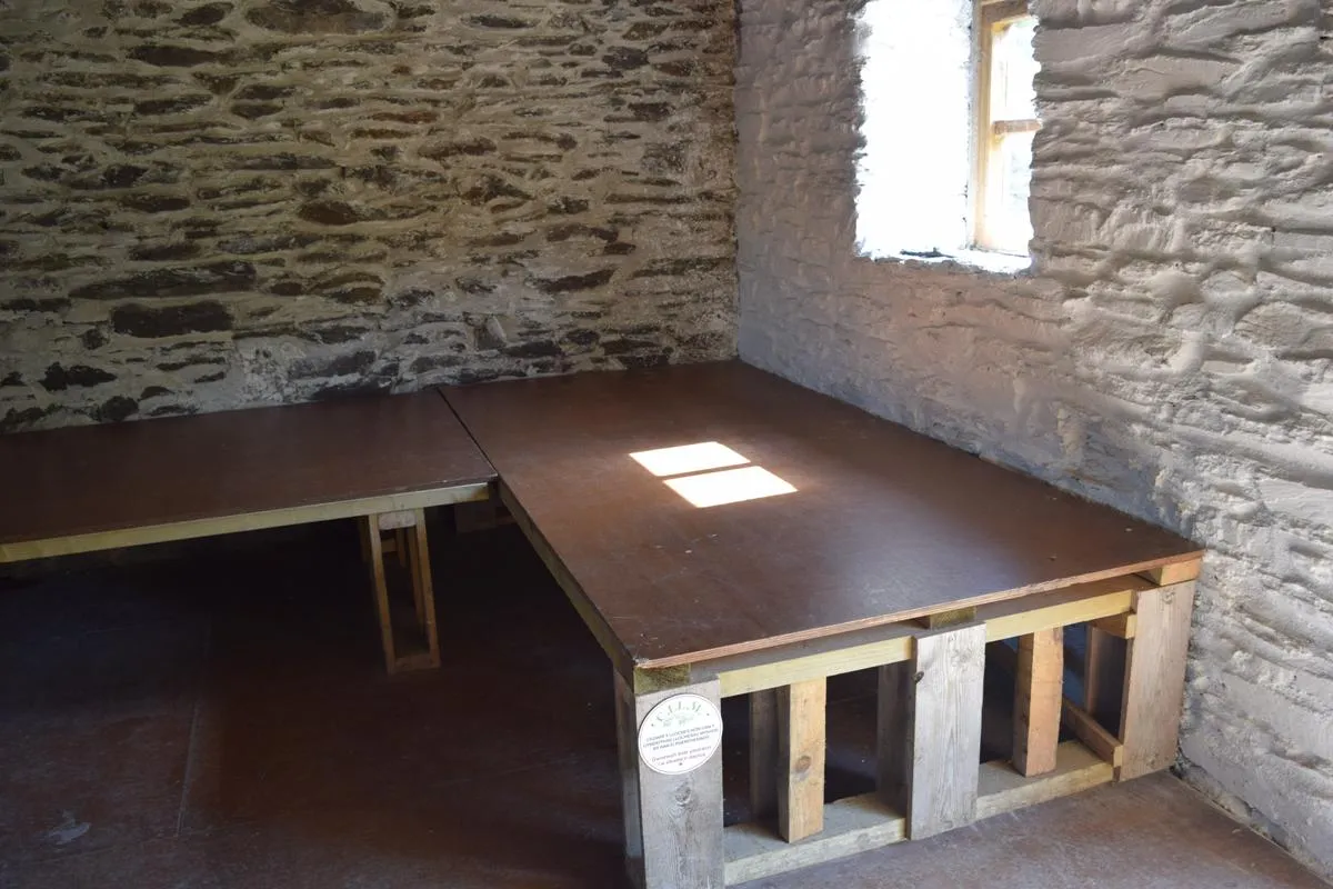
The cottage even has a toilet in the outside lean-to shed.
The Lluest is translated as a simple building, usually on the outer limits of habitable land and often having early origins as a squatter’s hastily erected dwelling.
The LLuest Cwm Bach was the property of the Scott Family, which comes from Scotland. The 1841 census officially says about family totaling nine people altogether. Since 1850s John Scott with children was farming a hundred acres around Cwm Bach. The youngest son Andrew eventually became established as a shepherd at Cwm Bach during the mid-1880s.
The location at Cwm Bach close to the little valley was typical. “Cattle were the mainstay of some farm economies, and other Illuest had beginnings as very modest dairy buildings a distance from the parent farm”.
Reportedly the cottage had a close connection with a large house close to Rhayader,
called Newhouse on modern maps. Cwm Bach was no doubt one of the places an active sheep raising (pic14).

Basically, the cottage contained five rooms noted on the 1911 census – “a handful of quartzite stones stand out from the more regular courses of local stone“. Apparently, it was a tradition for the quartz to be used as a good luck charm in a new home.
In 1952 Scott’s Family moved out. Since that time the cottage was going down. After a couple years were only walls, without a roof.
Currently, Lluest Cwm Bach is the newest MBA-supported bothies. It was renovated in 2013 by MBA (Mountain Bothy Association) and Ellan Valley Trust. It really looks like a brand-new hut that looks very well maintained and always ready for active use. It is a really nice wild place to hike in!
Lazy Saturday
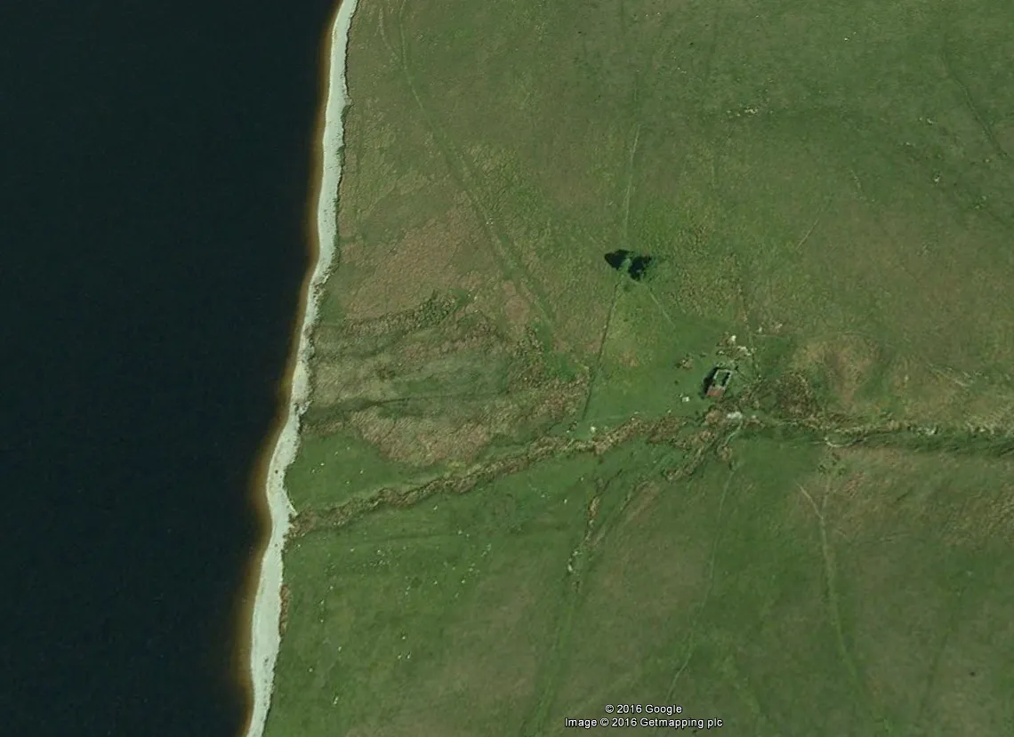
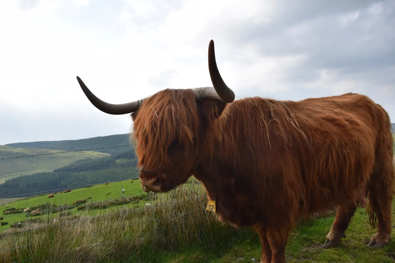
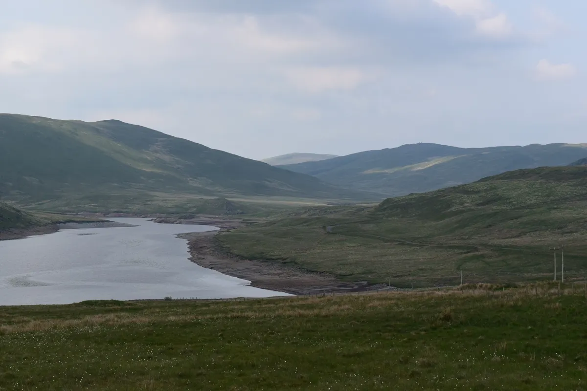
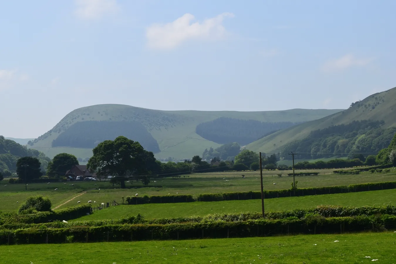
We woke up around 10am. It seemed all night long that someone is coming. It could be strange because of the nighttime and poor accessibility from the nearest roads. They were a sheep, which was in the vicinity of the shed. We decided back to our car and go visit the surrounding area. I can admit, that Elav Valley is very nice (Pic. 16,17,18).
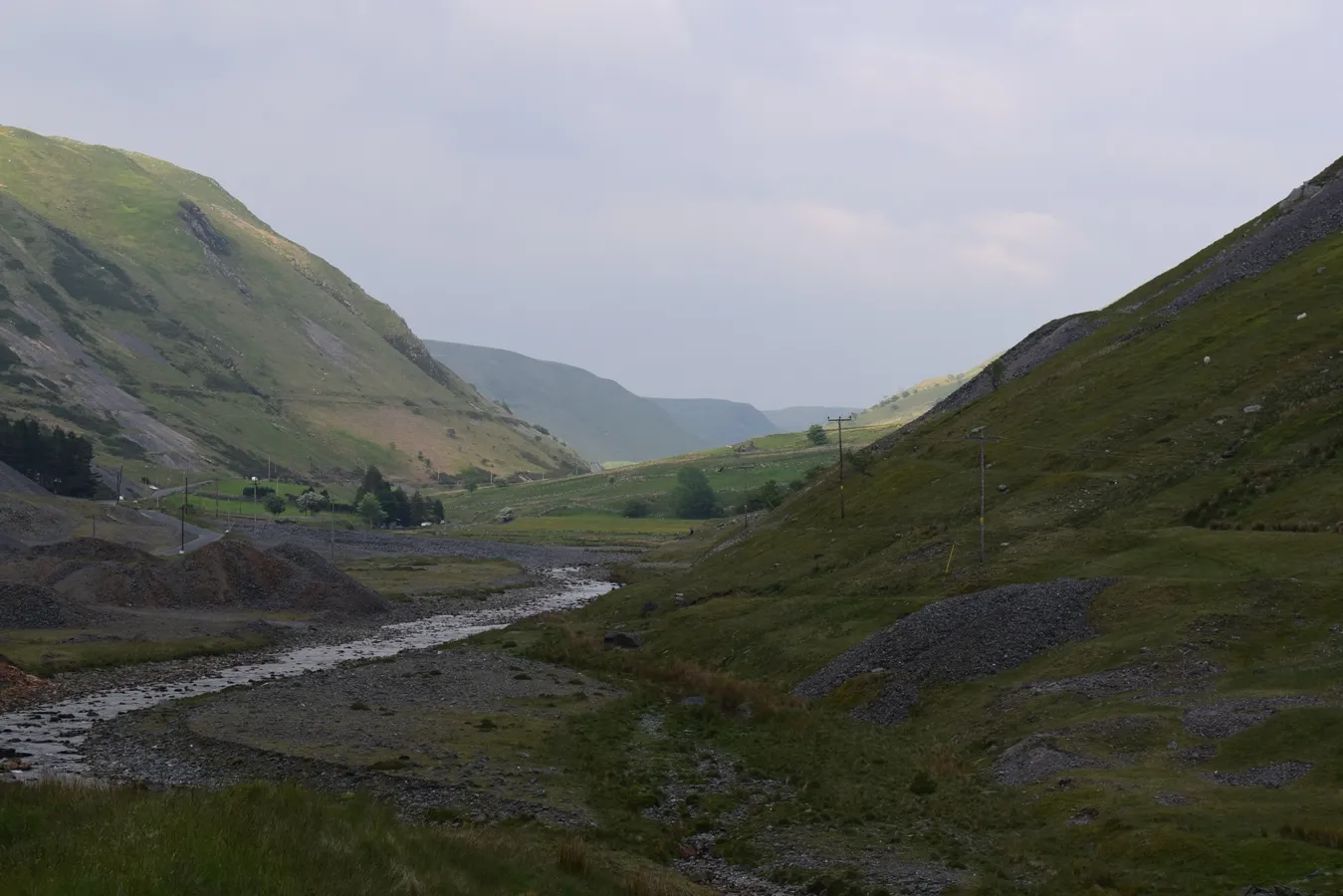
I can also recommend going to the Plynlimon area, close to Aberystwyth (Pic. 19,20)
We were back to the Bothy around 7pm using a different, shorter way directly from a car park near the Afon Elan river. That idea wasn’t good, because we underwent a lot of difficulties with water and mud-soaked moors.
Sunday – time to back
Sunday morning was pretty good and warm. We left the Cwm Bach at 10am and came across
unpleasant moors again and approach our car around half an hour later.
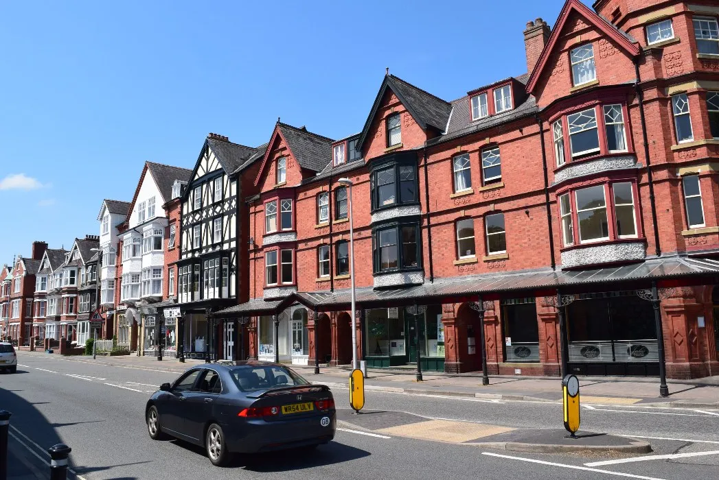
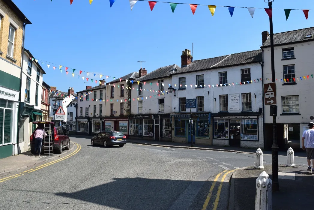
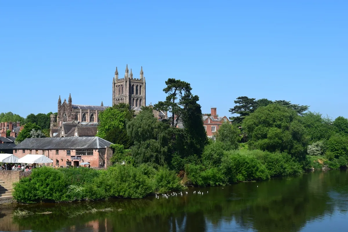
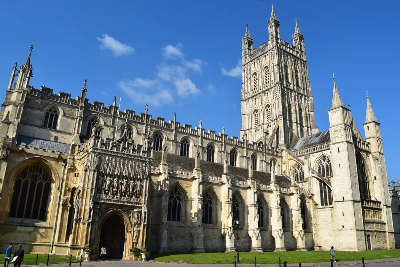
Our way was very long because we wanted to see other places en route. We have been to Llandrindod Wells, Kington, Hereford, and Gloucester (Pic. 22 – 27).

Mariusz Krukar
References:
B. Tony, 2013, Lluest Cwm Bach – birth of a new bothy, MBA support materials
Links:
Basic information about Cwm Bach bothy
MBA Cwm Bach general information
Blogs:
http://2feetandtwowheels.blogspot.co.uk/2014/02/lluest-cwm-bach-bothy.html
http://composite-projects.co.uk/2014/10/posh-boys-bothy/
Movies: