


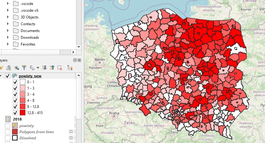
This time I would like to present an excellent way of making the simple choropleth map in QGIS, based on MS Excel data. Occasionally you will be acquainted with some tricks, which help you to understand how to plot the Excel data to your QGIS map correctly.
Transfer AutoCAD drawing to ArcGIS Online part III
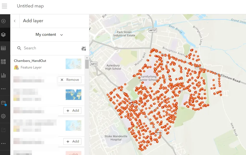
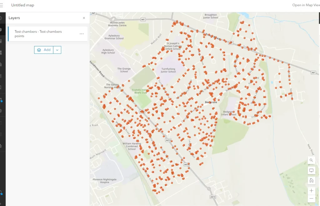
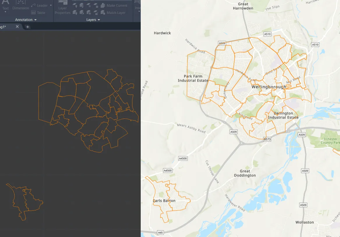
The last bit of this whole text covers the full guidance for the creation of the individual feature hosted layer, which can be used next for all available ArcGIS Online tools. In the last article, you’ve learned how to prepare your AutoCAD layer upon its further loading as the file to ArcGIS Online. In fact, … Read more