
I visited the most beautiful area in Britain just after I came to live in this country. It happens due to an almost total solar eclipse, which I was keen on watching. Read about this more in this article.
We set in the late afternoon from Cambridge, our living and working place. The fast Great Northern train took us quickly to the King Cross, from where we went through Greater London. It was quite a long overcast evening because we had to wait for a Megabus to Edinburgh, which departs daily at 22:30.
Due to the forthcoming eclipse, I was checking the weather nearly until midnight and all services showed the passing front across Scotland mainly during Thursday night with bad weather on Friday morning also. According to the forecasts, the weather was going to improve around Friday’s late morning in the western parts of the Highlands region.
Scotland greeted us with lovely weather. I was watching the sunrise above the North Sea from the bus window. The sky was completely free of clouds. In Edinburgh, where we approached around 8.30 on Thursday, March 19 the Sun was shining very nice, and the sky was veiled by thin cirrus only.
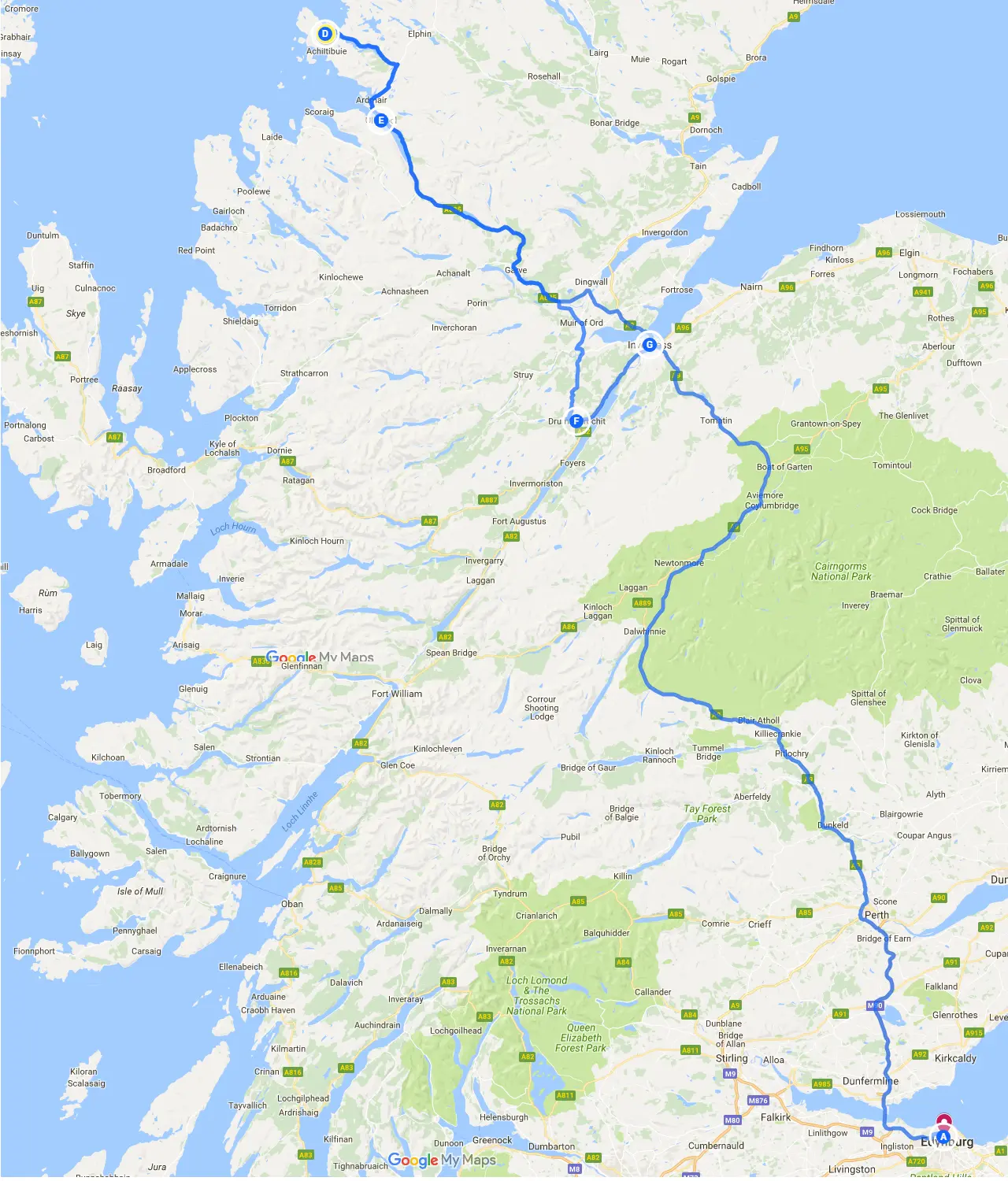
Our first day was aimed at reaching the Ullapool, situated nearly on the opposite side to Edinburgh, in the west part of the Highlands region, where the ferry to the Outer Hebrides departs daily. The way from the capital of Scotland was quite long. We had to spend another 3,5 hours on the way to Inverness and another at least 1 hour to our destination – Ullapool (see map above).
We set from Edinburgh just around 1 hour after arrival from London. The first place worth seeing just after leaving Edinburgh is the Forth Bridge, situated on the Firth of Forth (Pic. 3).
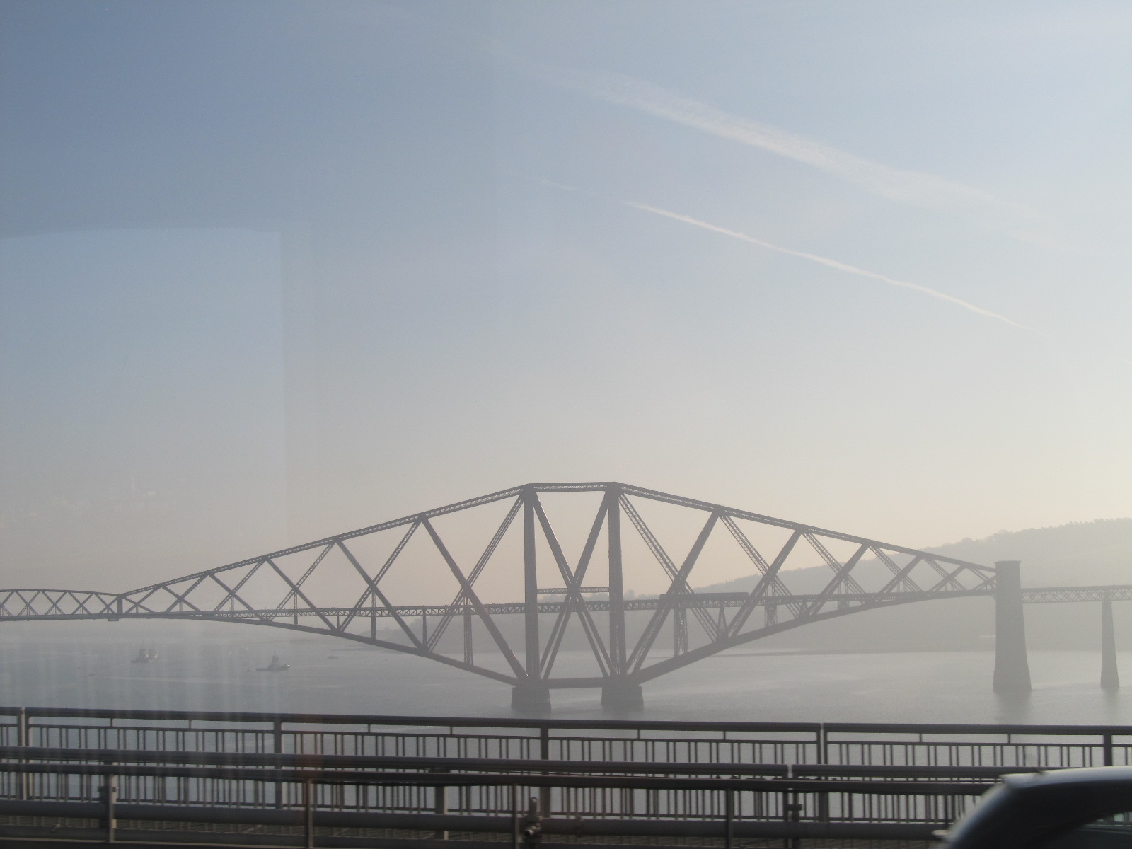
The Forth Bridge is considered an iconic structure and symbol of Scotland and is a UNESCO World Heritage Site. The total length of this bridge is 2467m. Until 1917 it was the longest single cantilever bridge span in the world, before Quebec Bridge in Canada was completed. Now is the world’s second-longest single cantilever span. Construction of the bridge began in 1882 and finished in 1890. The bridge was the first major construction in Britain to be constructed of steel. When you are en route from Edinburgh to Perth, you are able to see this amazing construction on your right-hand side. On your left-hand side, you are able to see a brand new Queensberry Crossing. This is the road bridge, which is being built alongside the Forth Road Bridge (Pic. 4).
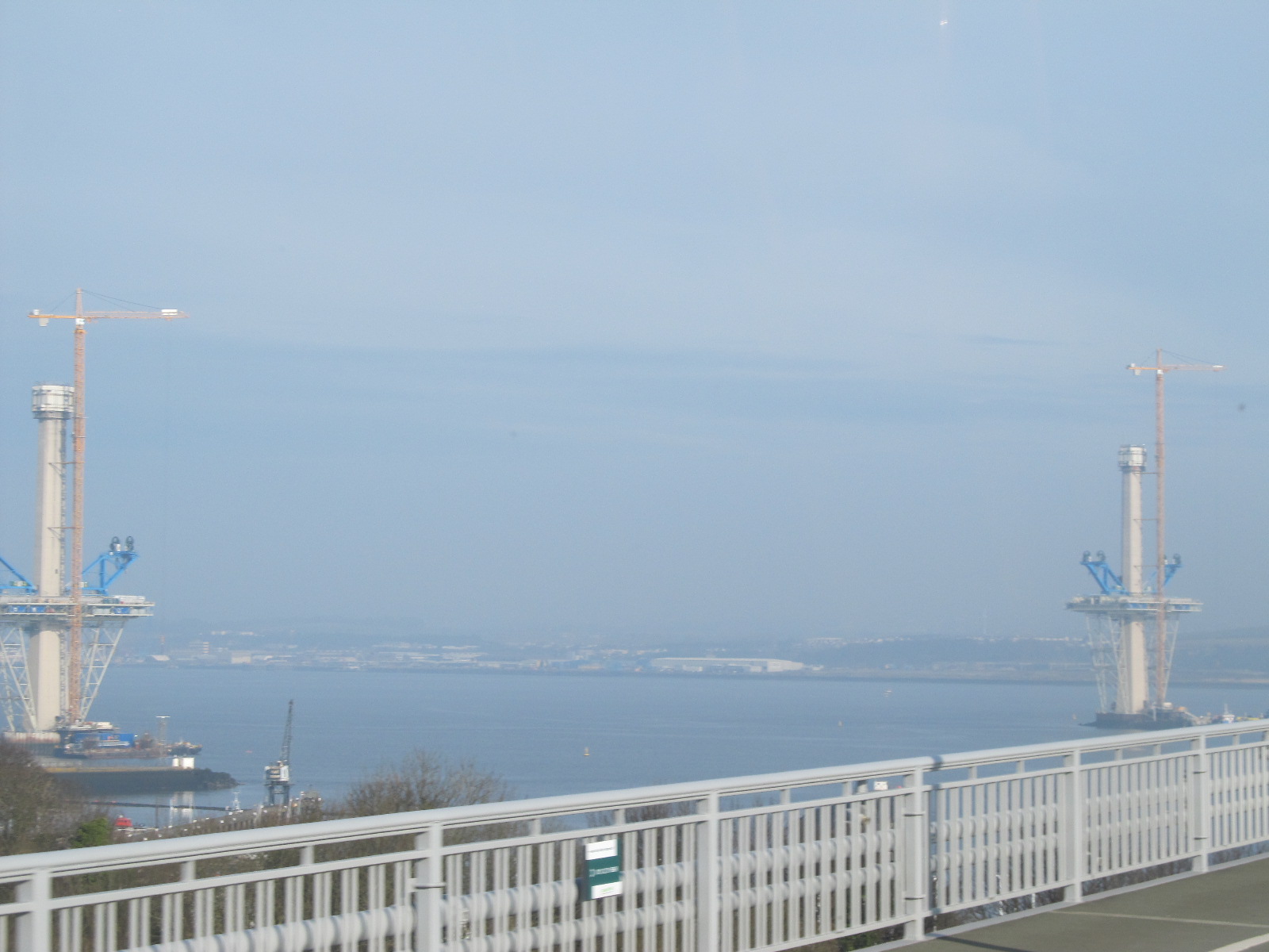
Its role is the replacement of the existing Forth Road Bridge (Pic.6), which has a planned design life of 120 years and its capacity is routinely exceeded. It was designed for up to 11 mln vehicles per year, but in 2006 the bridge carried around 23 million vehicles. This route is very important because it forms a crucial part of the corridor between southeast and north-east Scotland.

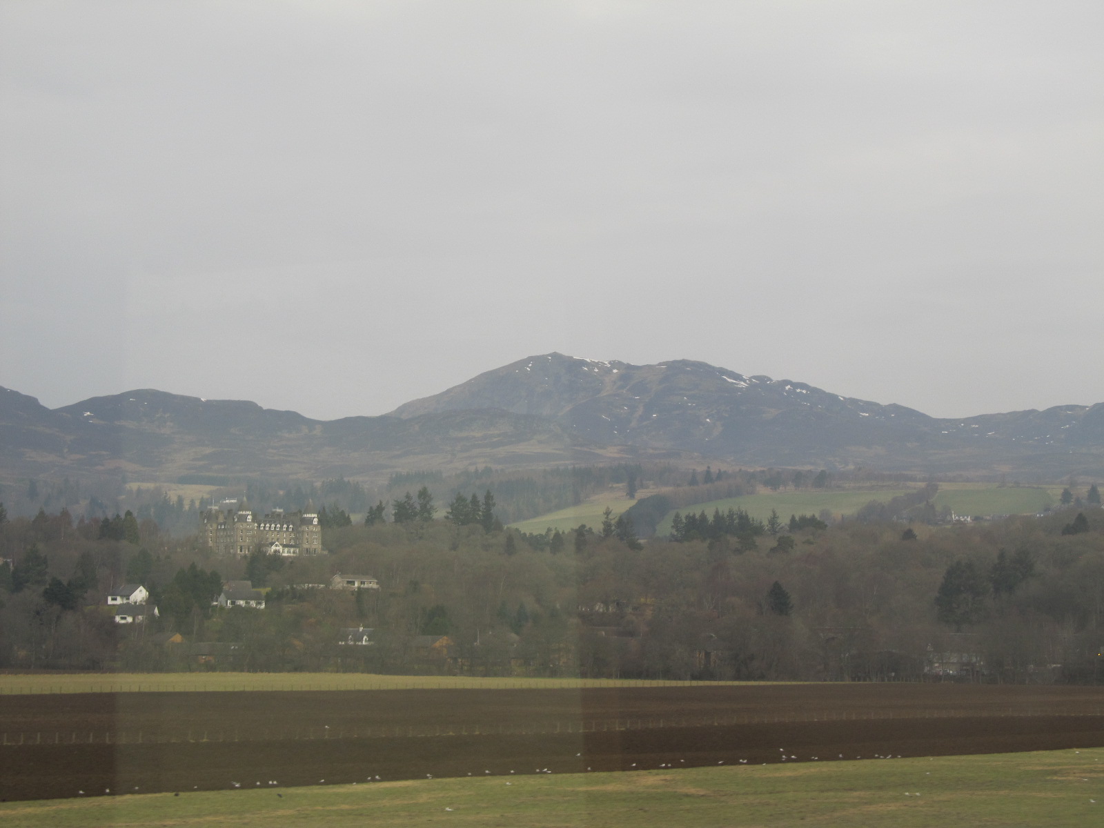
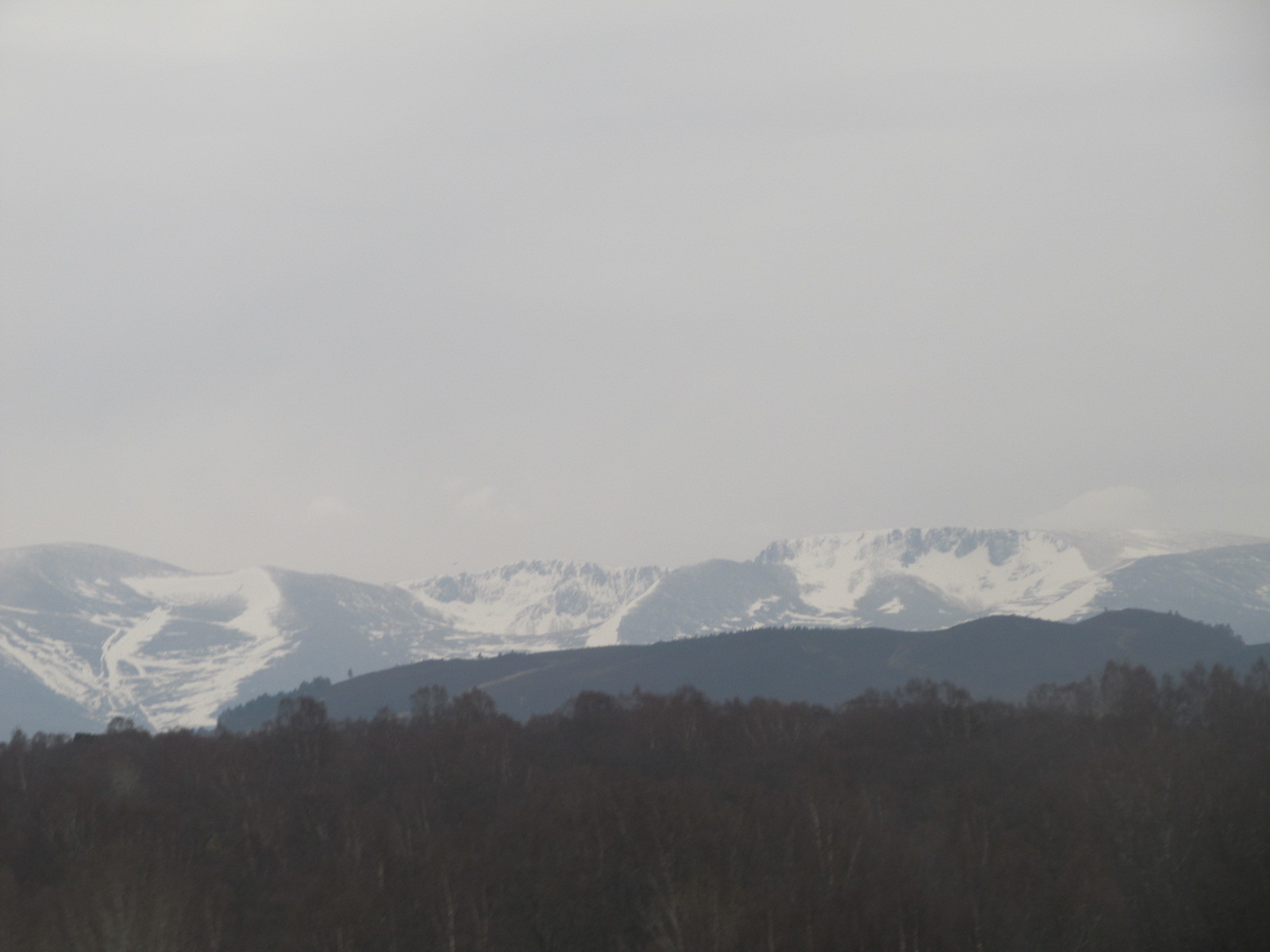
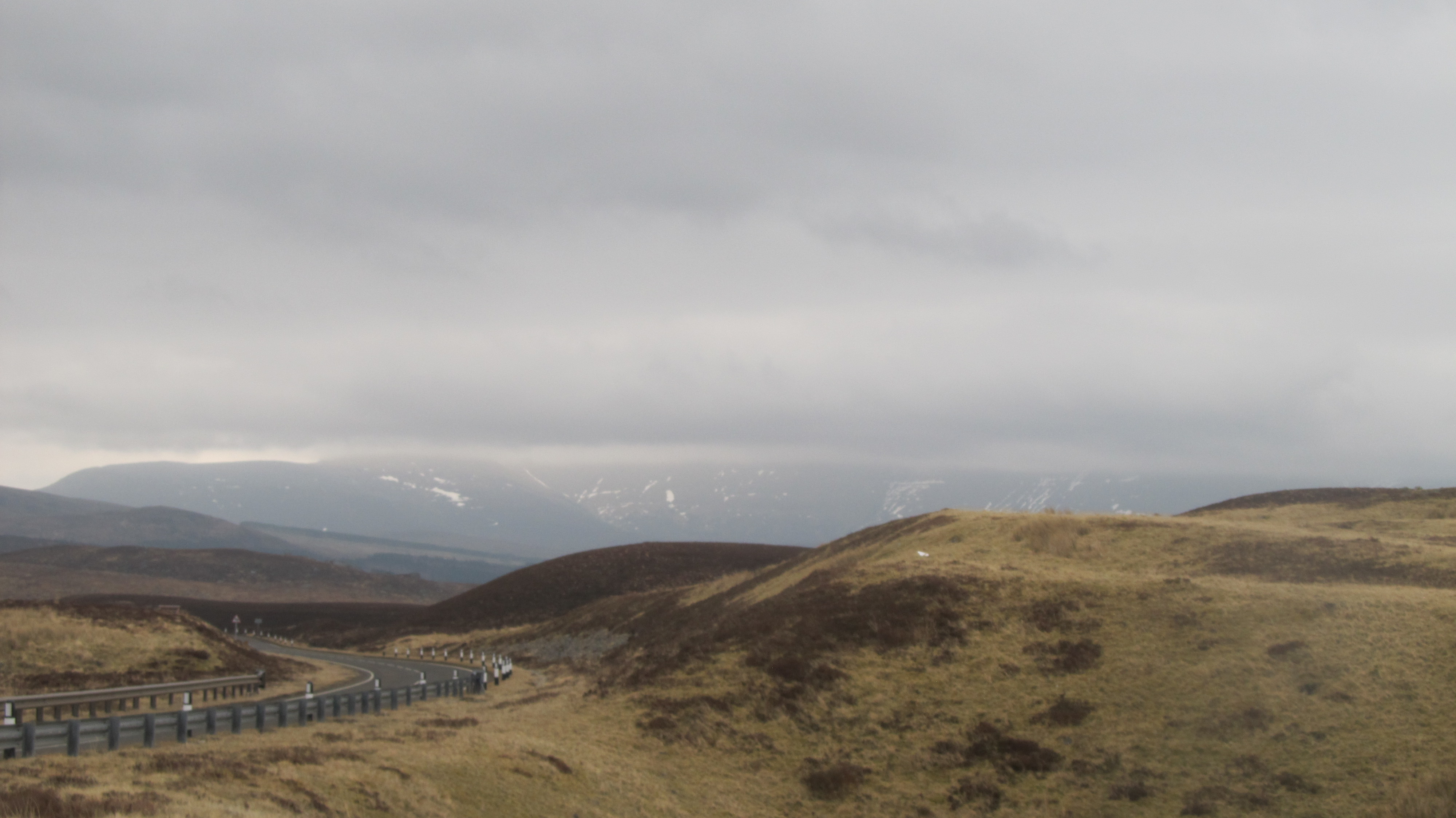
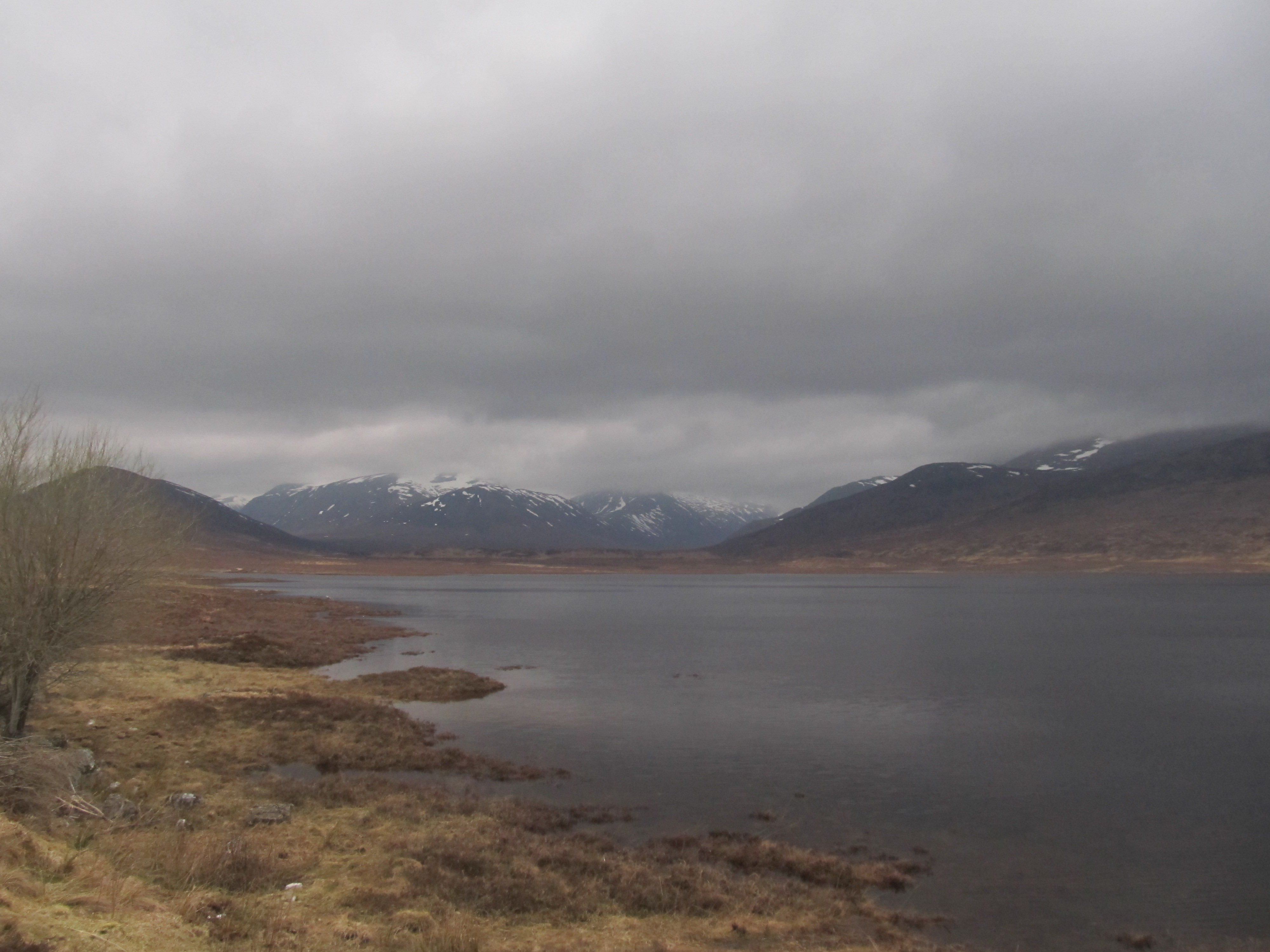
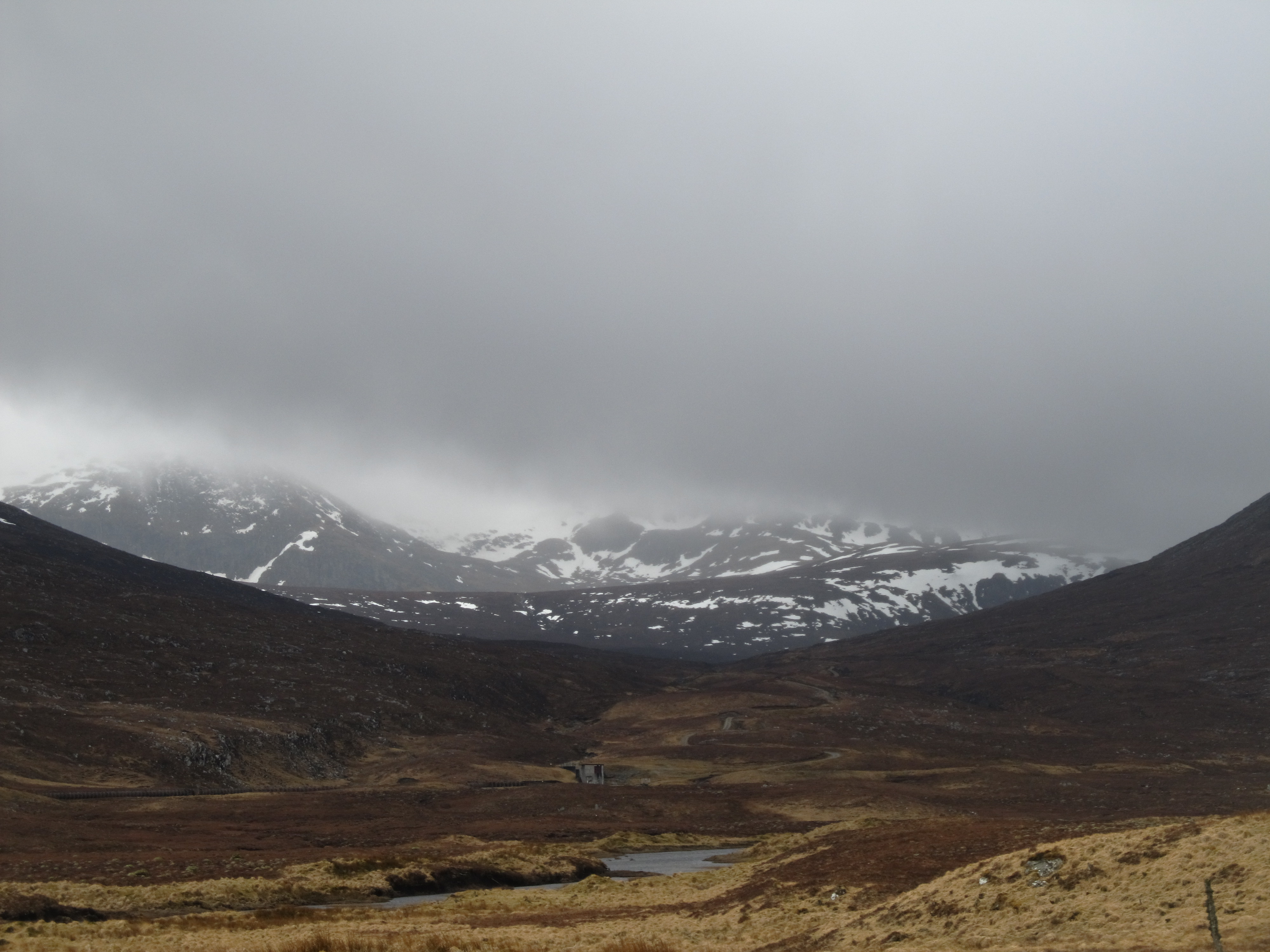
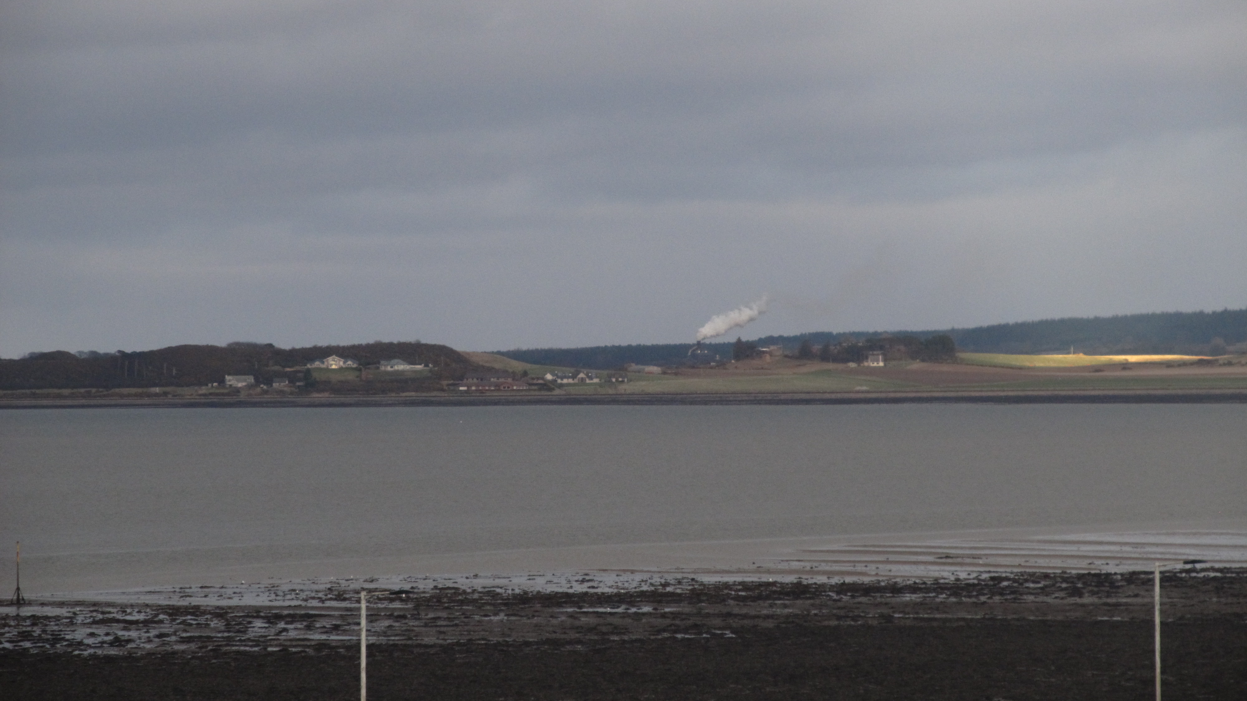
Once we passed Perth, the weather started to go down. Thick, high-level clouds covered the sun, although it wasn’t raining. The setting was still clear and sunlight was visible above a south horizon. During our long trip to Inverness, we were looking at the beautiful Grampian Mountains’ rural landscape. Many pasture lands with sheep, scattered villages, and snow-covered mountain ranges were simply amazing (Pic. 6,7,8).
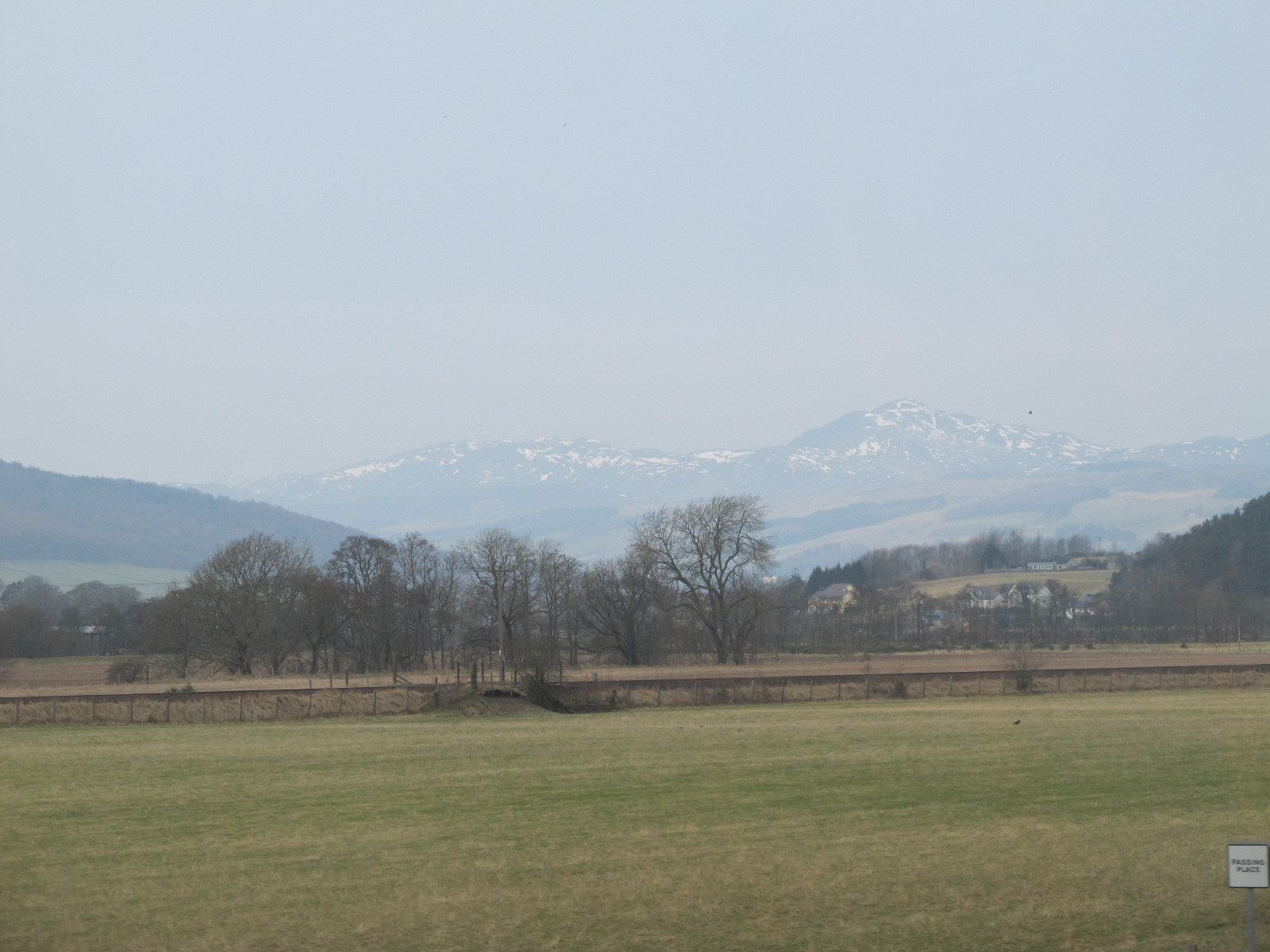

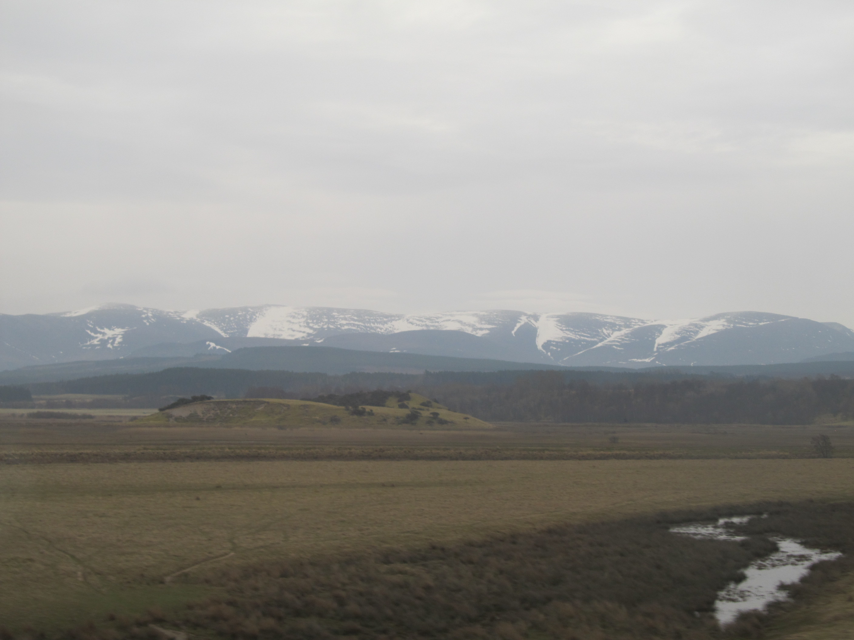
This is a post-glacial area with many erosional and depositional landforms. The most popular glacial landforms, which we could see on the way to Inverness were U-shaped valleys and kettle lakes. Being in the Aviemore area we could admire the beautiful Cairngorm Mountains with the Ben Macdui crag towering above the region (Pic. 9,10).
Ben Macdui is the second-highest mountain in the United Kingdom (1309m) after Ben Nevis and the highest in the Cairngorms.
We approached Inverness Bus Station around 12:30 and instantly went through the city center. I was always trying to chase some wi-fi connection to check the weather satellite images to assess the current situation. When I found it and take a look at sat24.com, I noticed very thin clouds above the east Atlantic. Besides low-level clouds above the Inverness started to disappear and Sun went out. It lifted my spirit quickly.
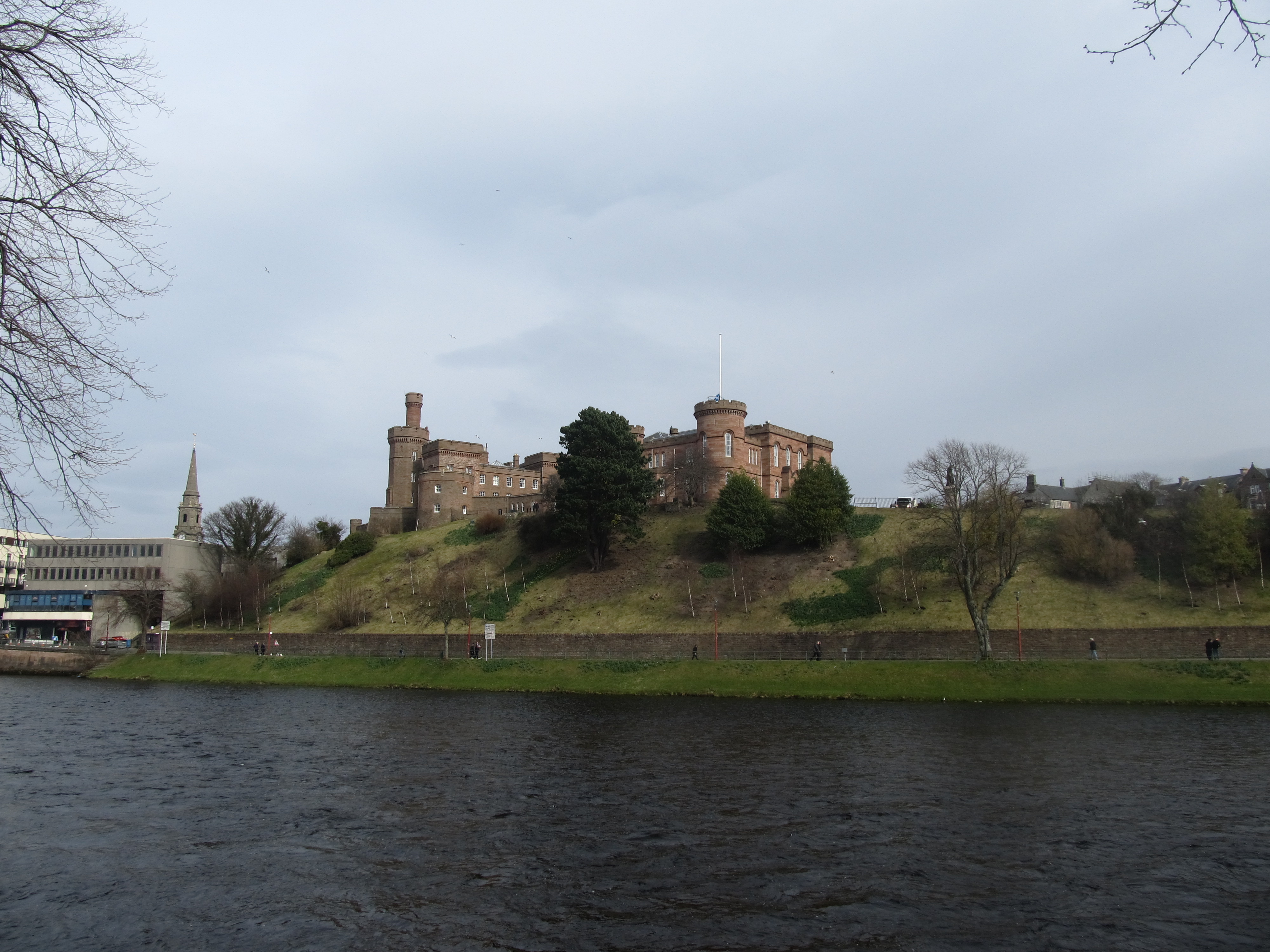
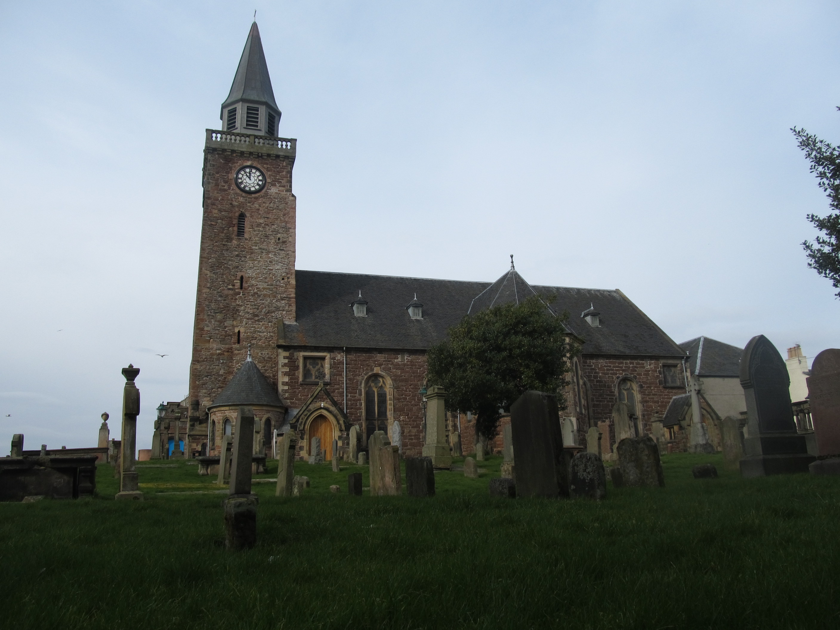
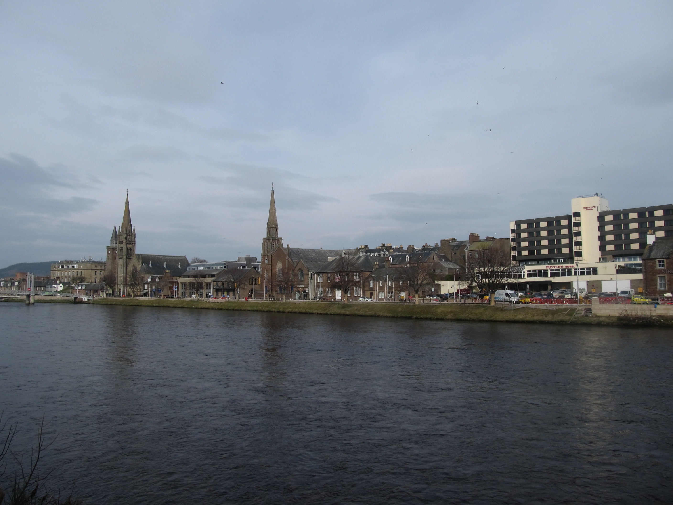
Inverness is the capital of the Highlands. The city is situated at the mouth of the River Ness and at the southwestern extremity of the Moray Firth, quite close to Loch Ness. The most beautiful part of the city is stretched alongside the river. We could find there a few interesting buildings, of which the most prominent is the Inverness Castle. This landmark sits on a cliff just above the river and contains a red sandstone structure (Pic. 11). It was built in 1836 o the site of an 11th-century defensive structure. Except for the castle, Inverness can boast the St Andrew Cathedral and Old High Church with a beautiful graveyard (Pic. 12).
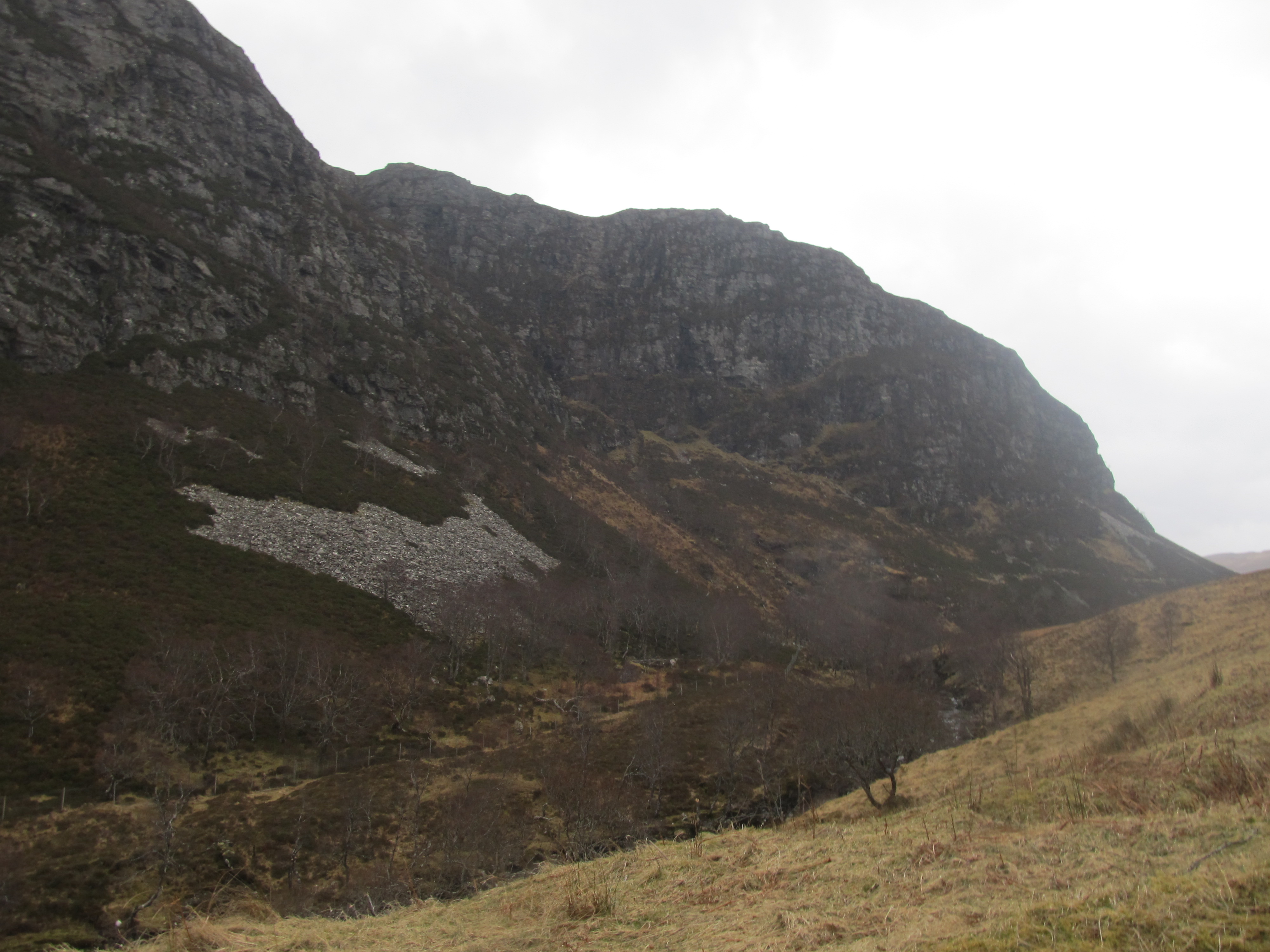
We stayed in the Inverness till 15:00, when after hiring a car we went towards the Caledonian Mountains (Northwest Highlands). The weather, unfortunately, got down, because the sun disappeared and new clouds came. Moreover, it started to get a little bit dark due to thick low-level clouds, which covered a majority of the sky after 4pm. On our way from Inverness to Ullapool, we saw many remarkable sites based on the post-glacial area. It was really worth seeing many Roches moutonnees, glacially-plucked rocks, U-shaped valleys, and moraines (Pic. 14,15).
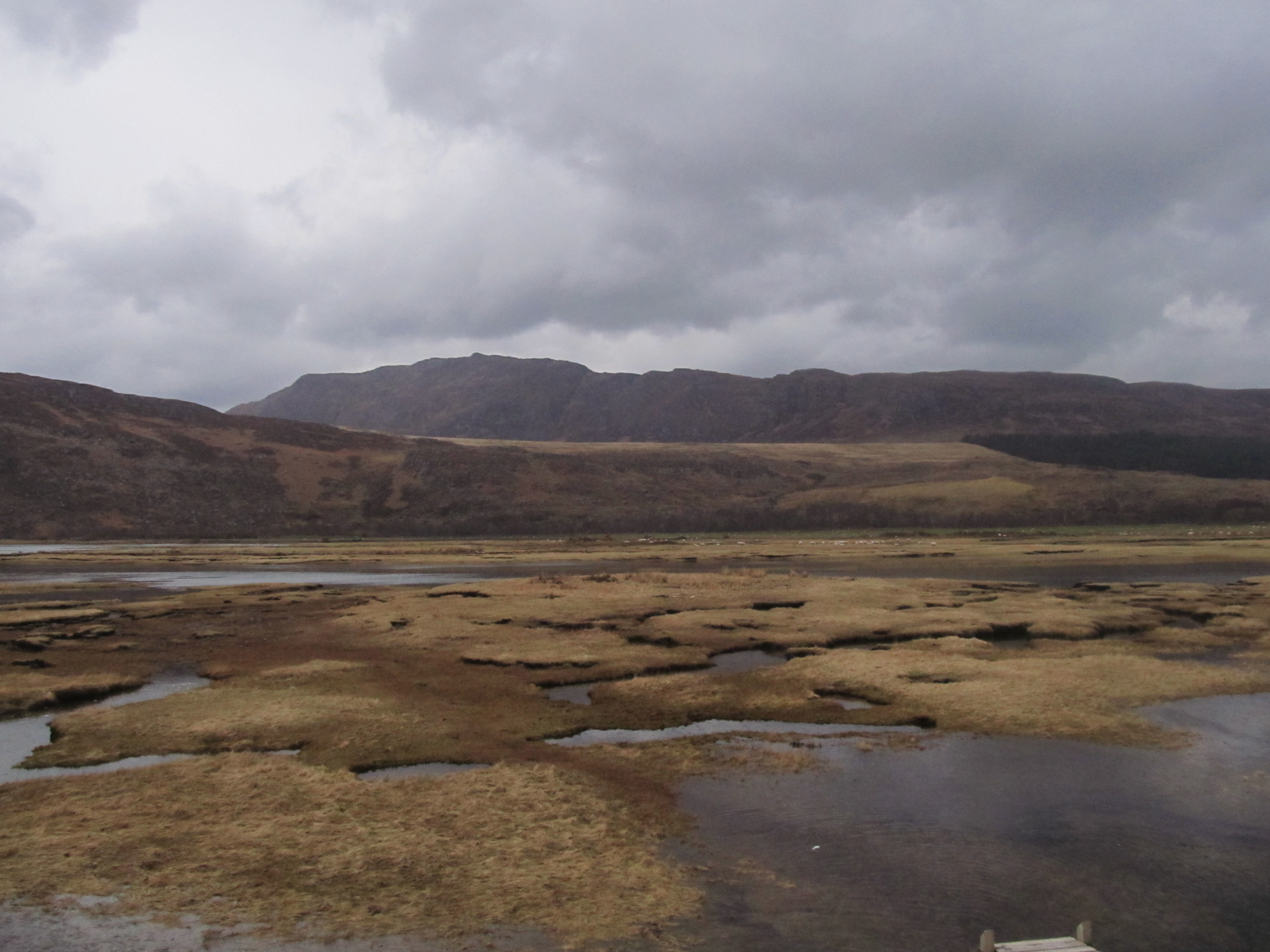
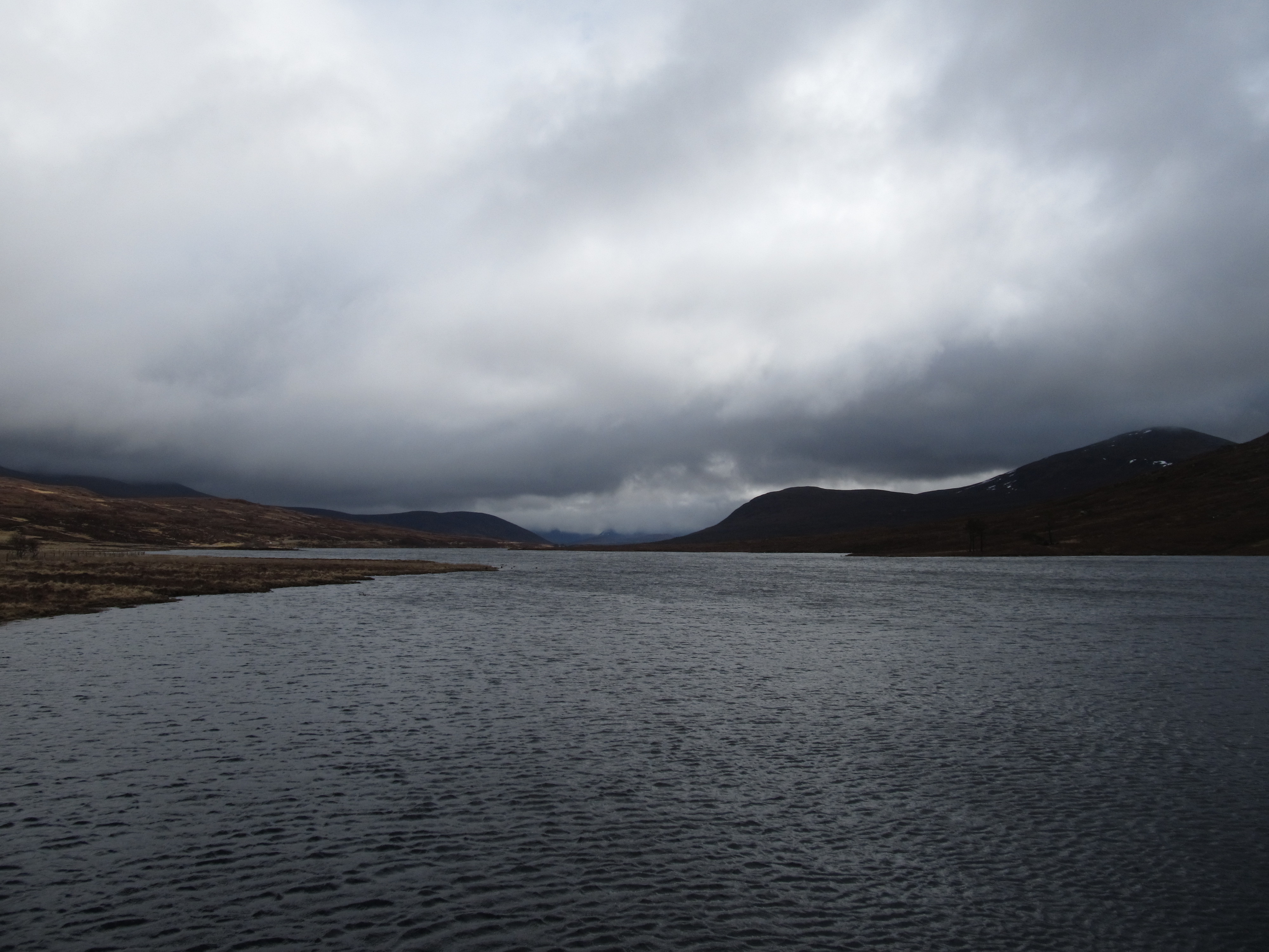
Aside from glacial landforms, we could see a beautiful Loch Grascarnoch and Loch Droma Reservoir (Pic. 16,17).

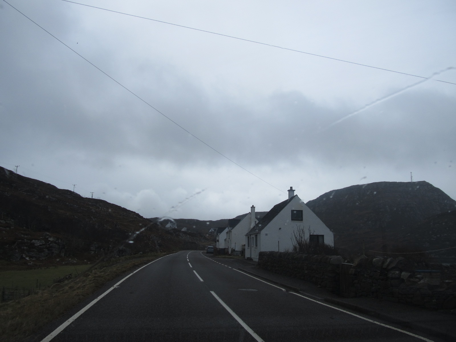
Before the Ullapool, we turned left and went to see the Little Loch Broom surroundings (Pic. 18, 19, 20).
Unfortunately, it started raining, but the sky was changing the hues from dark grey to faint yellow. I couldn’t see any sunny spells, nevertheless, I knew, that clouds aren’t thick as before. During the sunset around 18:00, the sky became grey-yellow, then I relayed thinking that the worst it’s over.
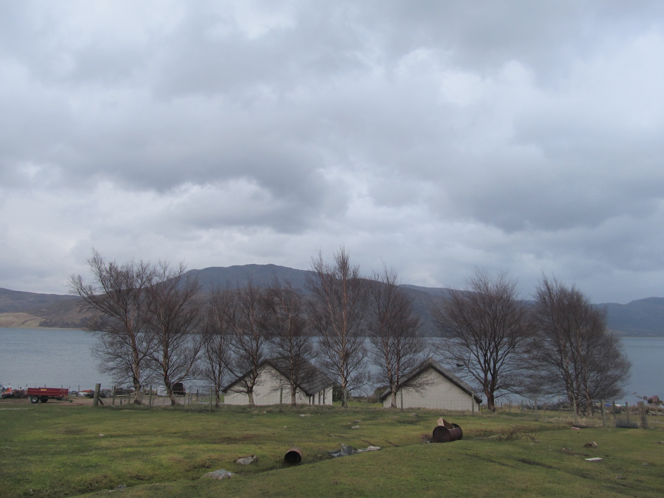
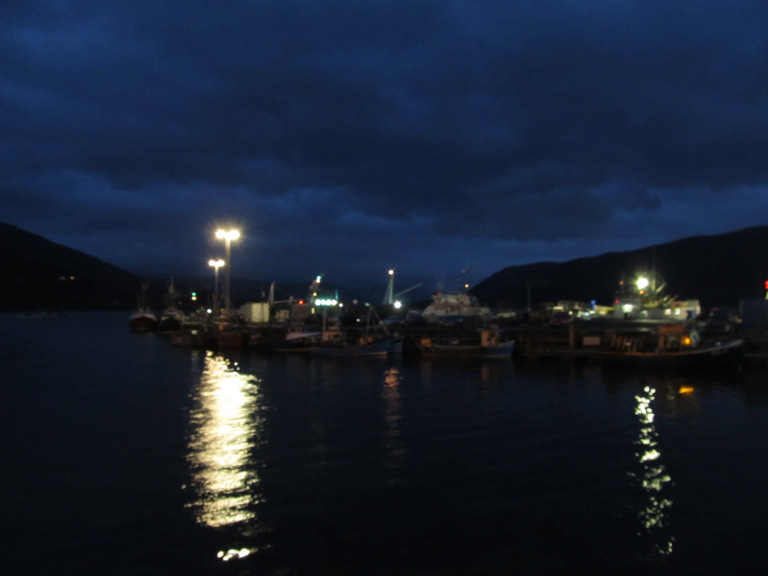
We came to Ullapool during the twilight. Before check-in at the hotel, we saw a small illuminated ferry (Pic. 24), from which daily departs 3 boats to Stornoway, the capital of Outer Hebrides.
I noticed a small hole in the clouds and a patch of blue sky beyond. My happiness is gone, when I saw the newest infrared weather image with the subsequent cyclones heading for Scotland. Nevertheless, I was looking forward to better weather on Friday morning, because each cyclone went so quickly…
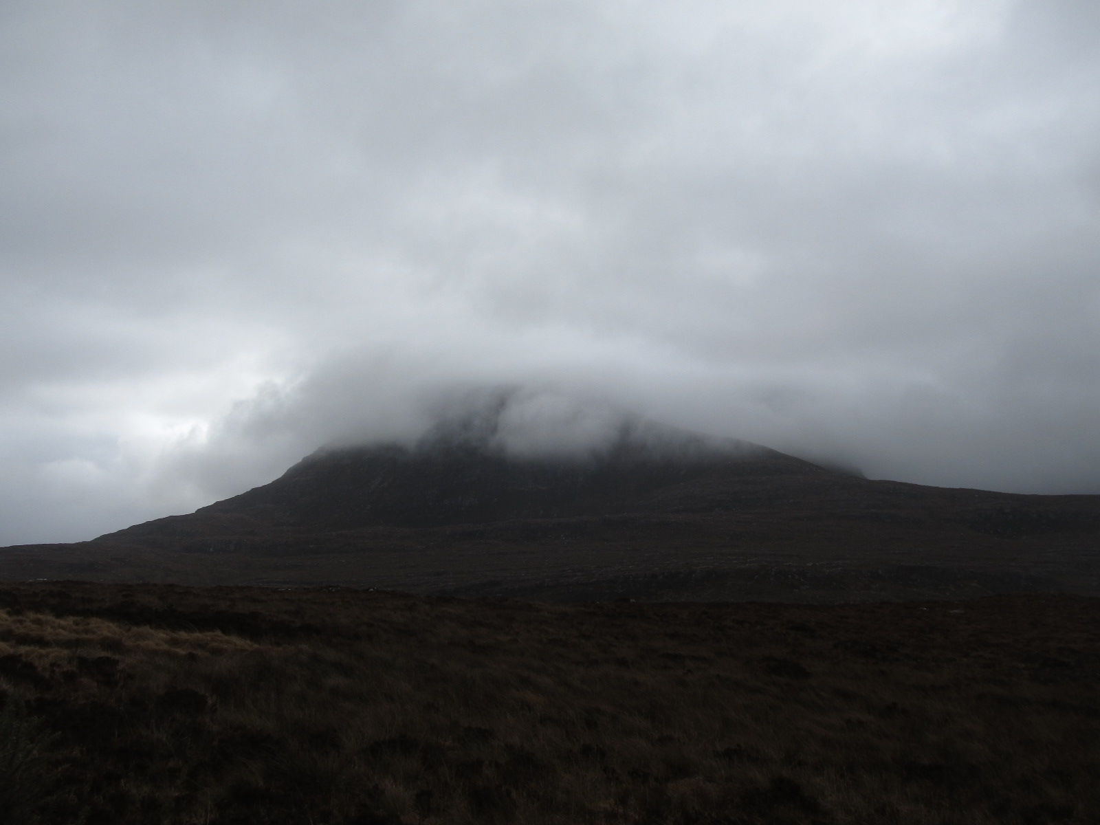
… On our way back to Ullapool we still met a lot of tough-looking sheep and we had to stop often and give them away. The weather was worrying again since I lost a crescent sun I saw it only once for maybe 2 minutes, around 30% eclipsed. Thereafter it was definitely gone, even a quite big section of the sky disappeared and started rain again. Nevertheless, the Caledonian Mountains looks still very nice during the bad weather (Pic. 24, 25, 26).
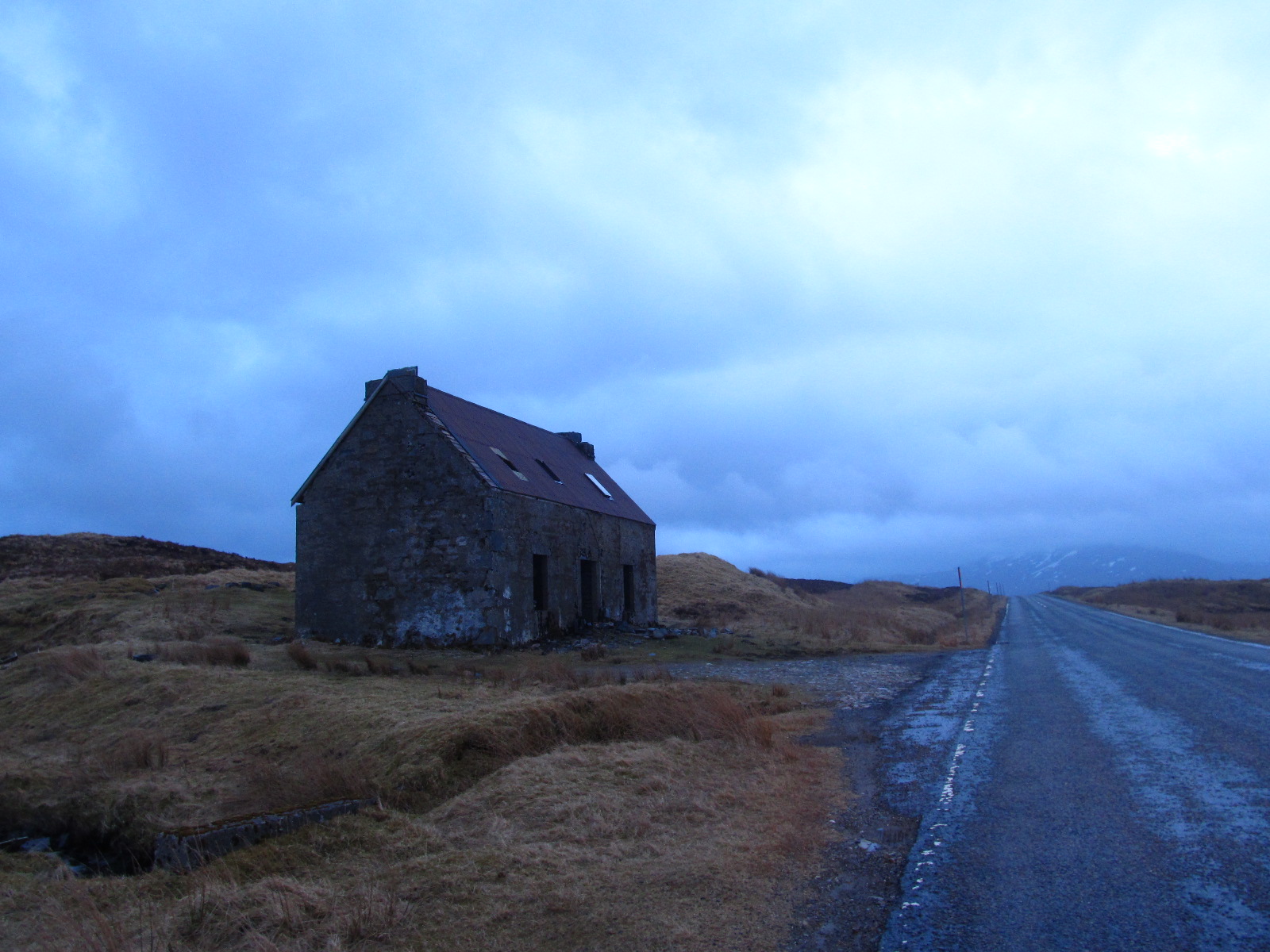
The scene was straight from the horror, when low-level, scattered stratus clouds were passing quickly above our heads covering every prominent tor. After joining the beaten track relation Wick – Inverness we admired dazzling white dwellings scattered alongside the road. This is a typical rural landscape of mountainous Scotland (Pic. 27).
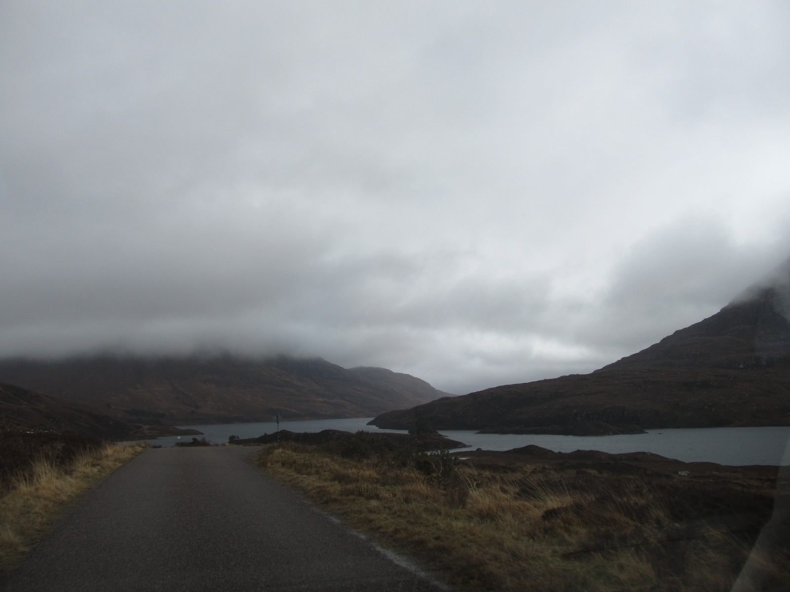
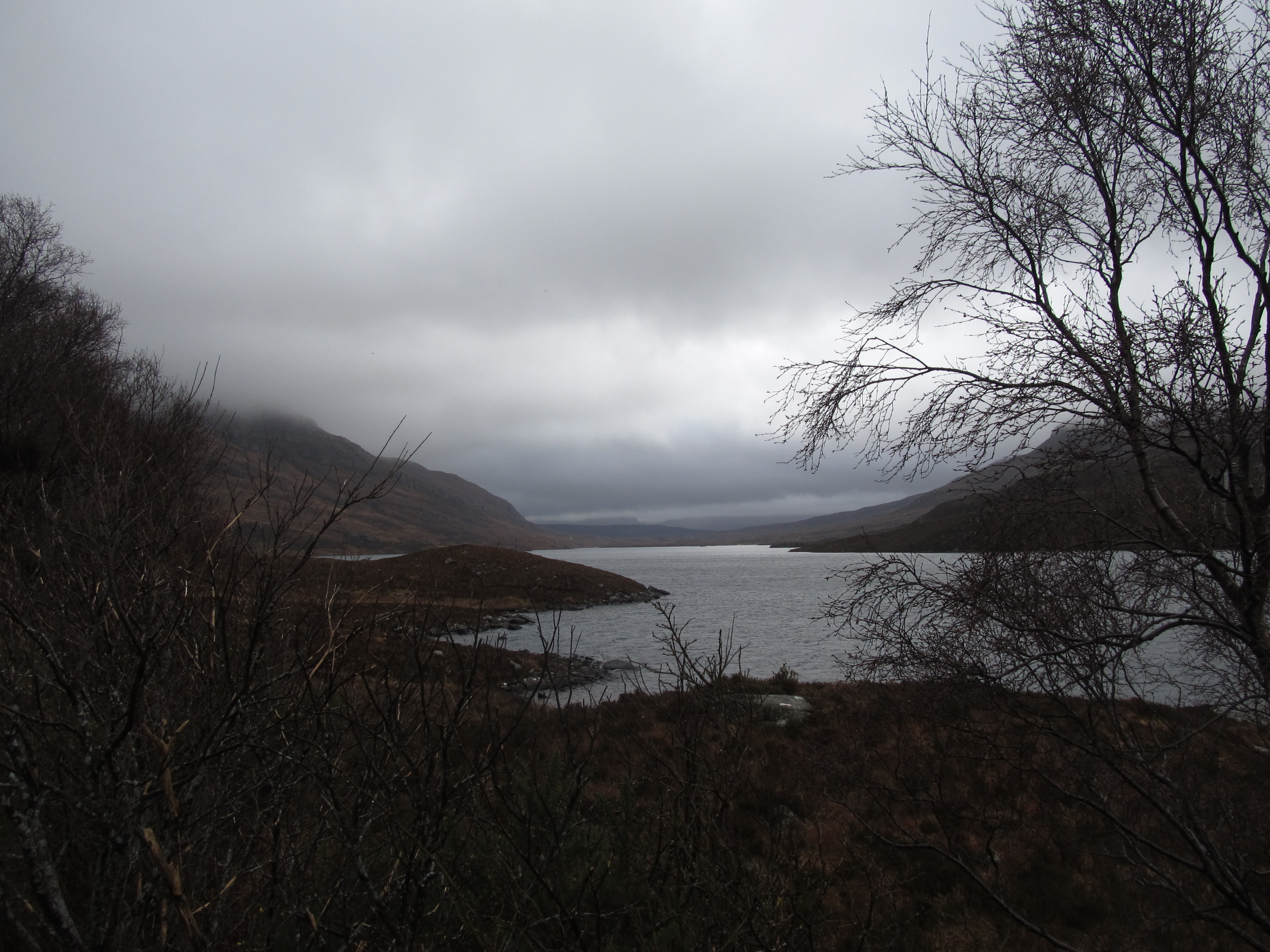
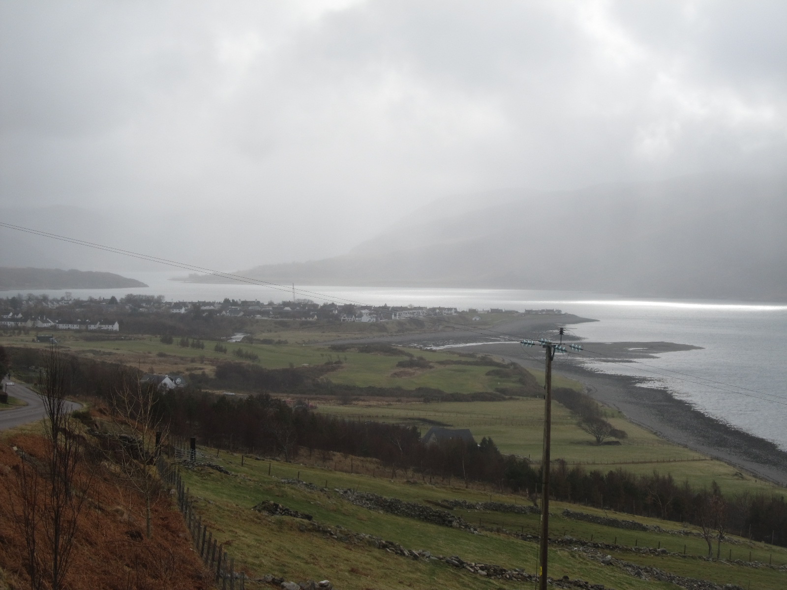
Just before Ullapool, we saw a quite big shaft of sunlight above Loch Broom. It was really nice to stop there for a while because we could clearly see the picture-perfect U-shaped valley filled up with long Loch Broom (Pic. 28).
We were going the same way through Caledonian Mountains up to Dingwall, where we turned right and headed south. During this way, we stopped a couple of times to see mind-boggling views of mountains with some weather phenomena (Pic.35,36).
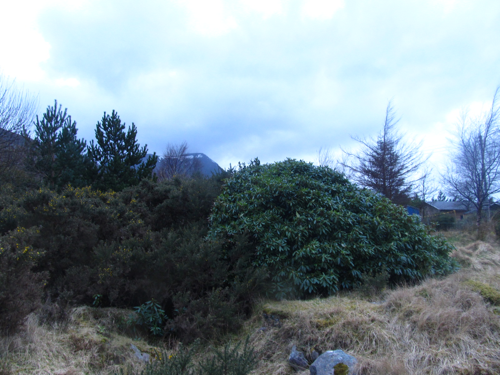
The Caledonian Mountains are called the Northwest Highland Mountains. This mountain community is stretching alongside a very northwest part of Scotland. The area is based on the oldest rocks in Scotland – Lewisian Gneisses. Those whole glacier-carved mountains are very steep and may remind high-mountainous areas. Climate is very mild due to the Gulf Stream, winters are relatively short (even shorter than in Poland!), and the temperature doesn’t fall lower than a few degrees below 0. It is represented by some evergreen plants like rhododendron and ulex (Pic. 21).
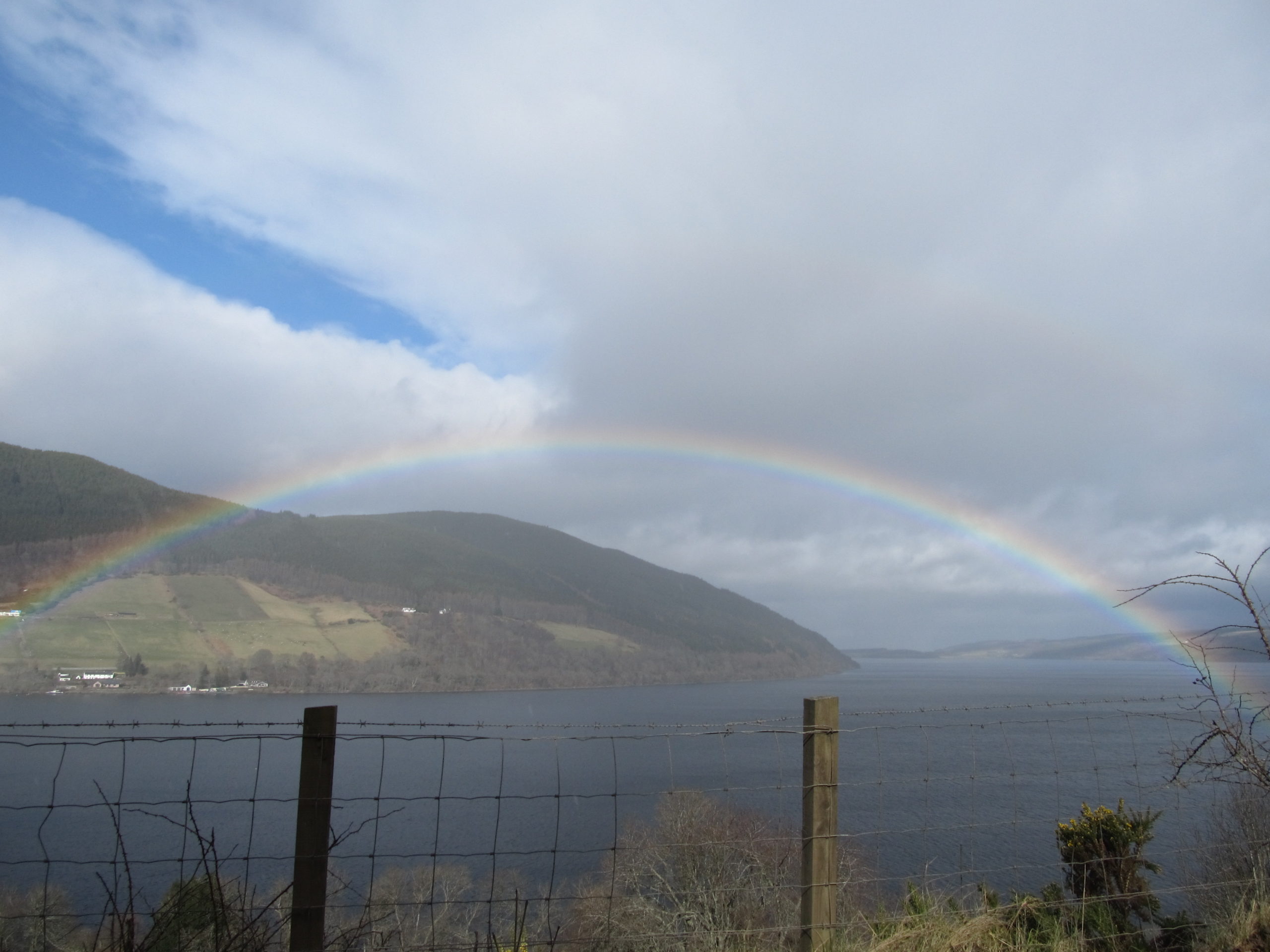
Our next destination was the legendary Loch Ness, which we came in the early afternoon. When stopped showering and the sun came out was nice and way was easier to encounter. Going through one of the highest mountains in Great Britain we have not seen many villages. I need to mention, that this is a sparsely populated area. You need to beat at least a few miles to find some small settlement. The Highlands was a poor area up to Napoleonian times. Napoleonic brought some economical investments, while large-scale infrastructure spending like the Caledonian Canal project. Caledonian Canal is the main navigable way in Scotland. It is based roughly between the Grampian Mountains and Caledonian Mountains (Northwest Highland Mountains) on the Great Fault (Great Glen Fault). The Great Glen Fault is running for nearly 100km from the Inverness to the edge of Moray Firth. From northeast to southwest 8 natural waters are located, while Loch Ness. Loch Ness is the largest by volume British lake. It is long itself because it counts 37 km (2nd in Britain after Loch Lomond) and is very deep. Its deepest point is 230 m. Loch Ness is the best-known lake in Scotland for the alleged existence of cryptozoological and legendary Nessie. The legend has it that this monster inhabits the deepest surface of the lake, has a long nail, and is very large in size. It was brought to world attention in 1933. Basically, nobody proved, that this monster exists. If you are coming from the west, which is more, likely due to the main road you can see a picturesque Uruquart Castle towering above the lake. This building is concluding around the XIII-XVI age and consisted of a medieval fortification (Pic. 31).
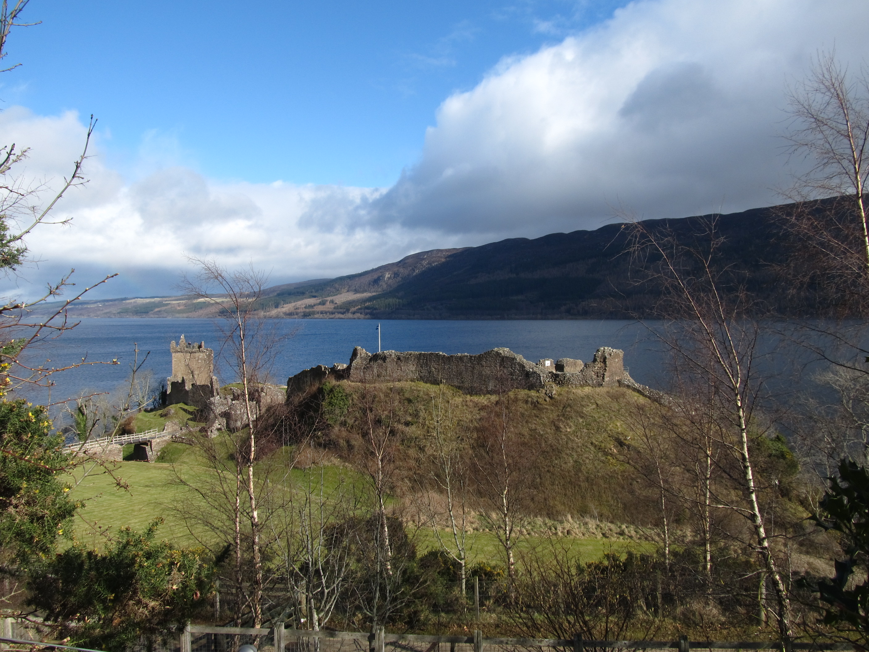
We didn’t want to pay for admission because it was nice to see this castle from upstairs. The picture-perfect landscape was stressed by a strong rainbow (Pic.32).

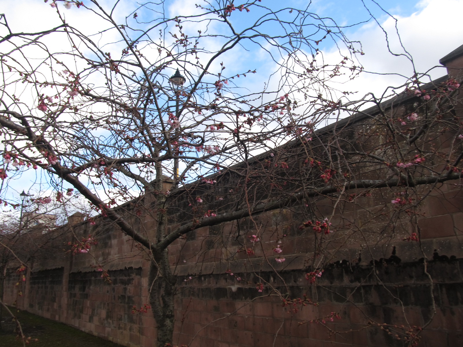
I had to give our car back at 15:00, so right after an amazing view of Loch Ness with the lovely rainbow on the foreground, we set towards Inverness. After 15:00 we had another 3 hours to carry on sightseeing the biggest city in this lonely area. The biggest amazement for me was the flowering cherries! In Poland, I could see the earliest flowering cherry trees after the 20th of April (Pic. 33).
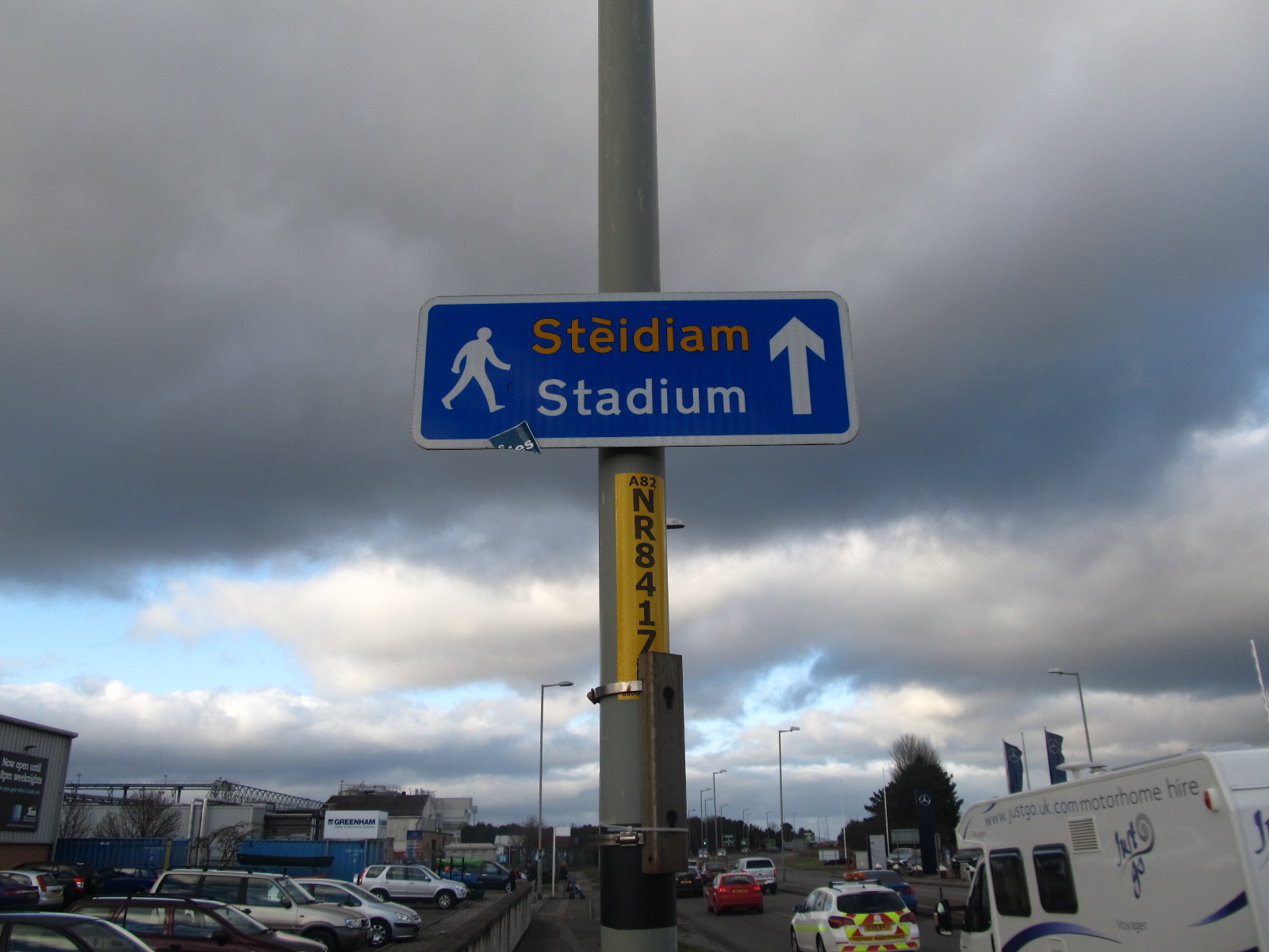
It’s not hard to spot the Scottish language everywhere. This is a Celtic language family, more similar to Irish and Welsh (Pic. 34) which is spoken as 2nd language in the whole Highland area.
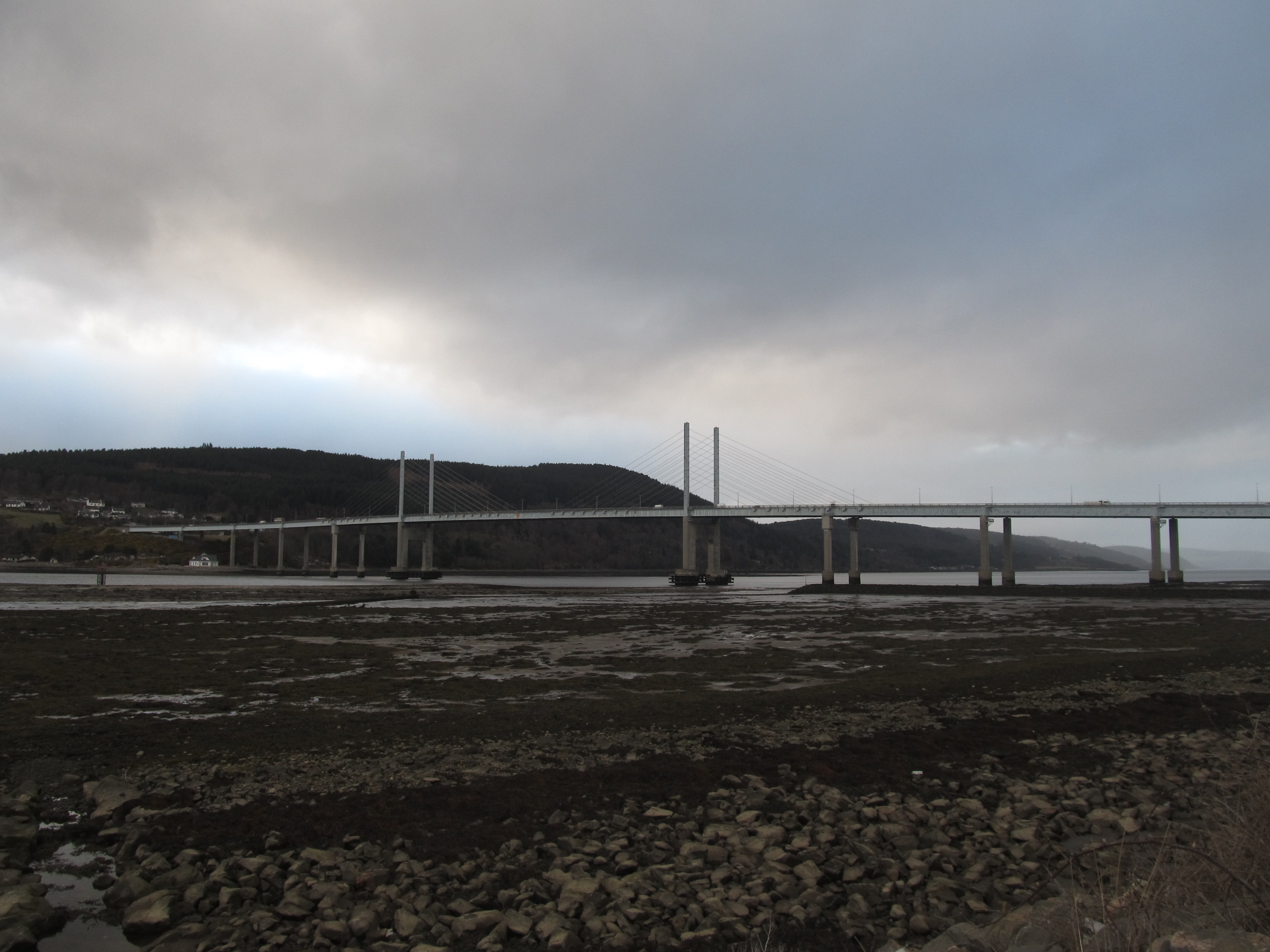
We rounded off our walking around Inverness close to the Kessock Bridge (Pic. 35). The Kessock Bridge divides Moray Firth (Pic. 36) and smaller aside Beauly Firth (Pic. 37). The total length of this bridge is more than 1km, so it makes it such a remarkable object.

On the way back to the city center was raining again, but we couldn’t resist visiting the Caledonian Canal inside the Inverness industry area. After this, we went to the bus station. We departed from Inverness at 18:30 and after a 3,5-hour journey arrived in Edinburgh…
The next part of this trip is in the next article, immediately following this one.