

A few words of introduction
In this couple of articles, I would like to describe our two fantastic journeys to Cornwall, which we made in 2015 and 2016. There were 2 separate journeys managed from Cambridge to the Southwest part of the United Kingdom. Both of them led through Devon – one region adjacent to smaller Cornwall situated in the extreme southwest of the country. To be said those journeys to Cornwall consisted of a few spots in the aforementioned Devon county.
Aside from a long description of both journeys, I will try to give you five pieces of advice referring to visiting Cornwall.
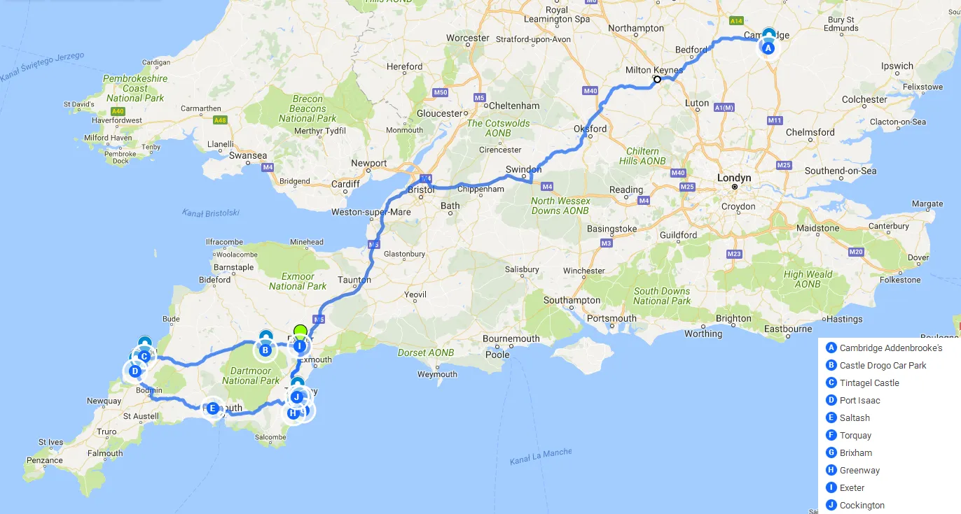
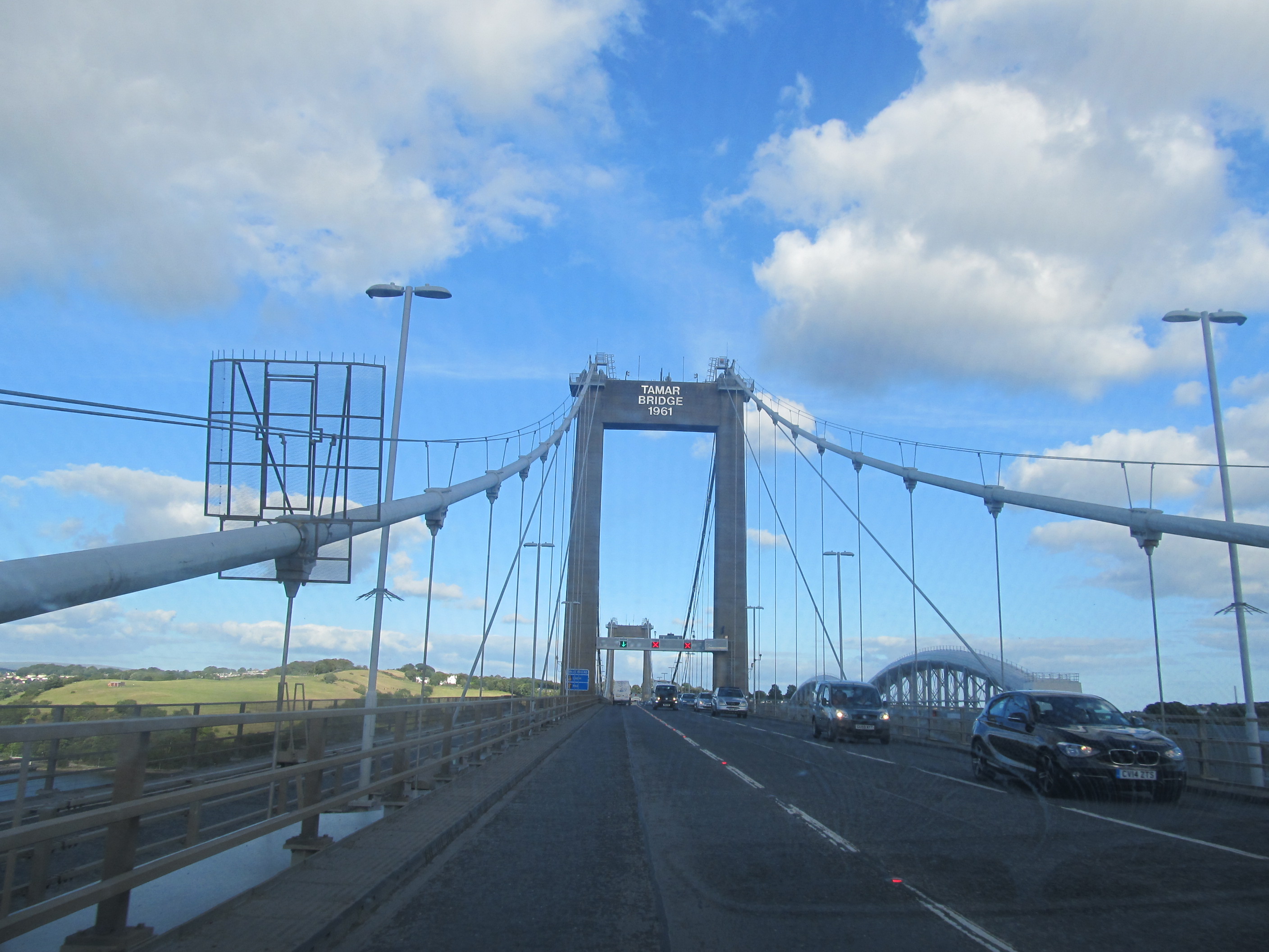
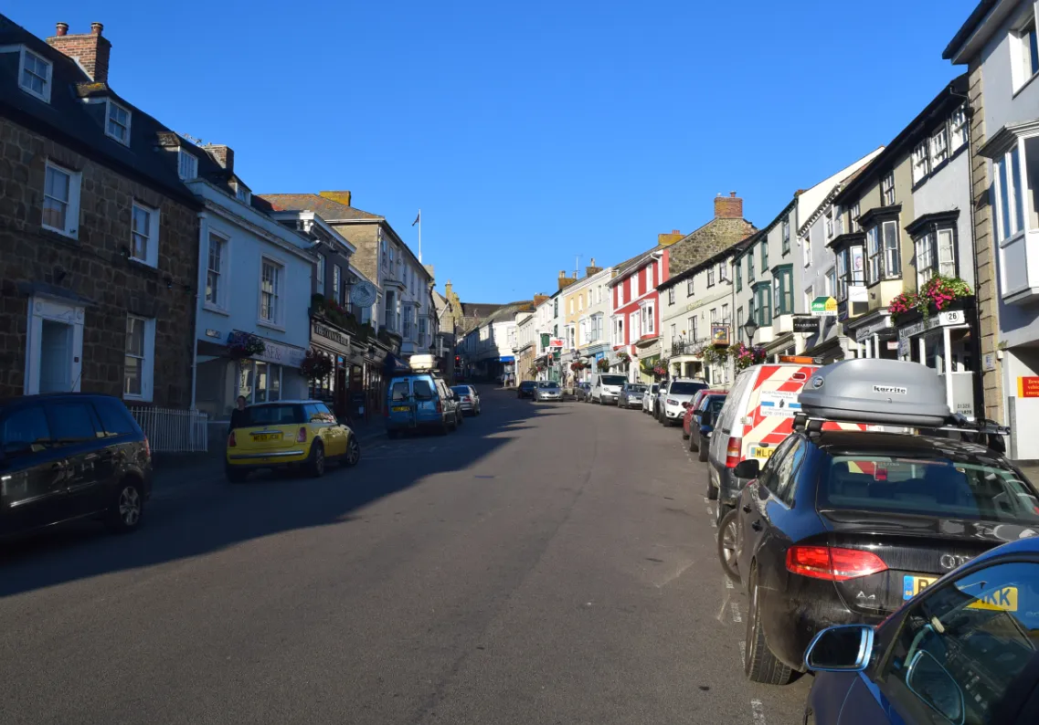
Our first journey took place during the weekend of 14 – 16.08.2015. We left Cambridge right after work on Friday afternoon, exactly at 6 pm from Addenbrooke’s Hospital. After nearly 6-hour drive, we slept in the car on the Castle Drogo car parking. Saturday morning was nice. The sun was shining, however, was quite cold. We headed towards the west coast to reach the Tintagel Castle and next in the proximate vicinity of the small town of Port Isaac, where we spent a lovely Saturday afternoon. After watching the world go by in Port Isaac we proceeded (via Bodmin Moor and Tamar Bridge) to Torquay, the English Riviera capital, where we stayed overnight. Sunday welcomed us with a beautiful Sun. Our first port of call that day was a cozy village Cockington where we could enjoy a former rural landscape. The next place was also amazing. It was a mind-boggling Brixham with colorful construction and an inspiring II World War fortress situated on the Berry Head peninsula (already covered by Berry Head National Natural Reserve). Afternoon we spent walking around very beautiful gardens and Agata Christie’s holiday home. We left there around 4.30 pm to visit the last place consisting of the “Cornwall 2015” trip – Exeter where we met my old friend Wiktor Trybus. Basically, we saw only 3 places in Cornwall at that time: Tintagel, Port Isaac, Bodmin Moor, and Tamar Bridge (pic.1).
We left Exeter around 7 p.m. and returned to Cambridge around 6 hours later. It was amazing, although a ridiculous trip. I came to the conclusion, that Cornwall is too far from East Anglia and it is not really possible to visit it without holidays. I was sleeping the next day at work.
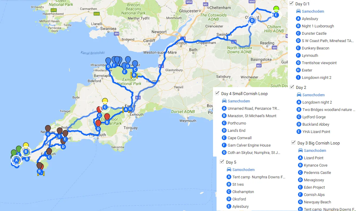
Our 2nd journey was far better prepared. Especially since the trip was going to be much longer. We took 3 days off and we’re planning to spend them in the lovely southwest corner of this country. We set off on Friday evening 12th August and headed almost the same route as 1 year before. I was working in Aylesbury, so we met in Oxford, however, the time when we left Oxford was almost 7.30 pm. Basically, we were nearly 1 hour ahead in order to “Cornwall 2015” journey, when we passed Oxford around 8.15 pm.
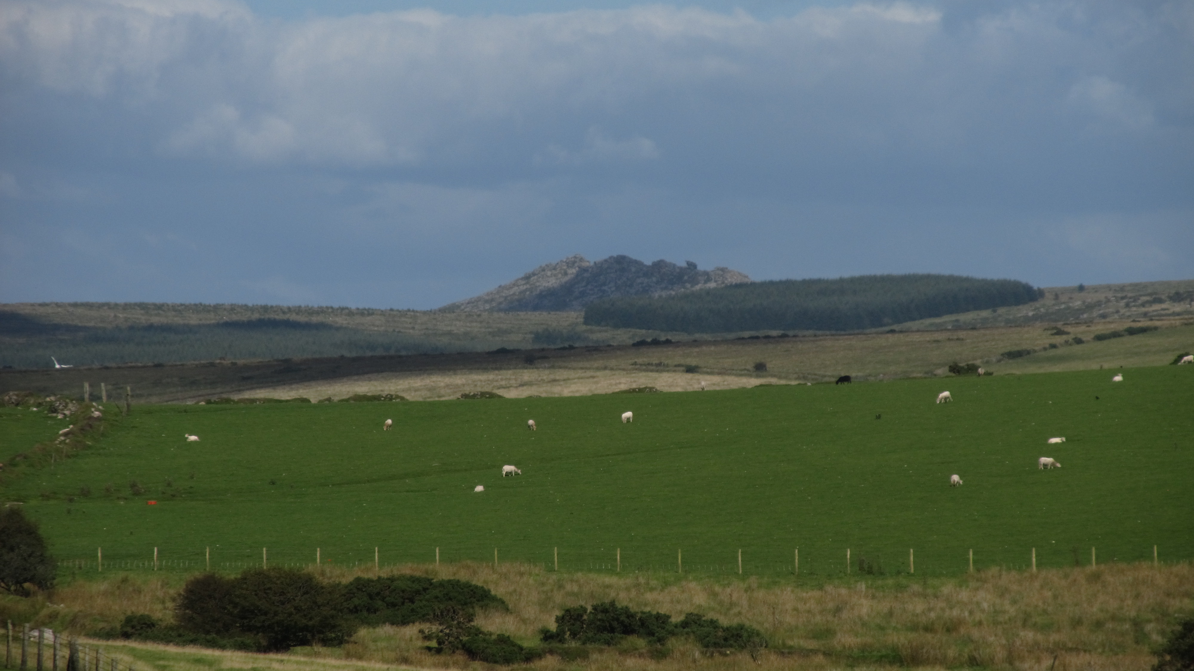
Our first port of call the next day was Exmoor National Park. After an overnight stay in the car (we came around 11.30 pm on-site) day was welcomed with gloomy weather with gusty wind. Fortunately was getting better later, so we could continue our amazing journey called “Cornwall 2016”. We saw Dunster Castle and beautiful Porlock Bay with a nice view of South Wales on the opposite side of the Bristol Canal. Later We proceeded to the highest point of the Exmoor Highlands – Dunkery Beacon which rises 513 m.a.s.l. and is covered by a picturesque moor layer. I must recommend you also Lynmouth town with Watersmeet House, hide in a forest valley and cliffs near Trentishoe, from where you can spot even Beacon Brecon National Park in Wales. The first day we rounded off in Exeter, where I could meet my old friend from my hometown, who comes to Devon every year during the summer to work. After a brief party, we located just outside the city near the “gate” to Dartmoor National Park, which was good to visit the next day during the morning. The last spots, before entering the Cornwall were Lydford Gorge and Buckland Abbey.
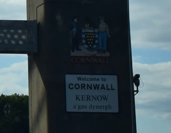
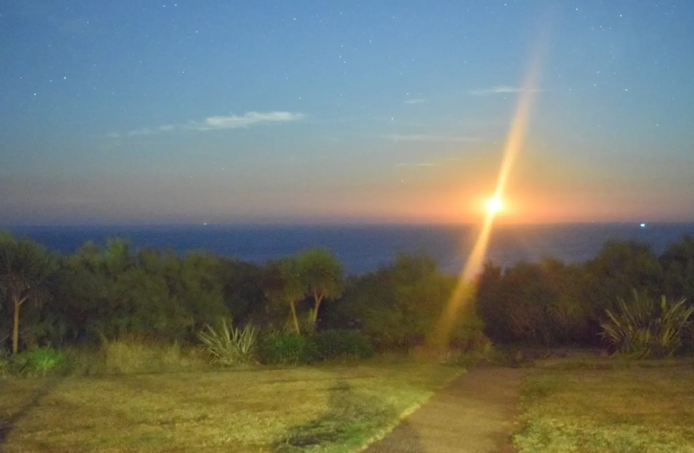
Finally! We reached Cornwall on the Tamar Bridge, from where we left this region one year before. Our first destination in Cornwall was Lizard Point, the southernmost point of Great Britain, where we stayed at night. In my opinion, it was the best place to sleep, which I haven’t had for a long time. I could watch the stars and beautiful moonset from there. The next day, Monday we started from a beautiful beach situated near Kynance Cove. That day I managed the trip called “Big Cornish Loop”, which included: Lizard Point, Falmouth, Mevagissey, Eden Project, Cornish Alps, and Newquay. This “loop” finished near Land’s End Airport. We slept there in a tent. It was one of the best locations to make a “Small cornish loop” on Tuesday. This smaller “loop” included St. Michael’s Mount, Porthcurno Beach, Land’s End, Cape Cornwall, and Carn Galve Engineer House. After this we back to the same place of stay. Last night on Wednesday we scouted the St Ives town and headed outside Cornwall towards Okehampton via misty and rainy Bodmin Moor. The Okehampton Castle was our last stop on the way down.
We had to be in Oxford at 7 pm because my fiance had the last bus to Cambridge from there. I returned to Aylesbury at 8.30 pm (pic. 2).
Places to see in Cornwall
Here I would like to summarize all the places, which are worth seeing when you decide to visit the extreme southwest part of the United Kingdom. There are places, which I saw personally and a few more, which I passed by during both journeys. I am not going to extend my description of those places. You will have much more when using “uncle” Google. It is going to be basic information for you on how to get around and get a sense of this amazing location.
- Tintagel Castle
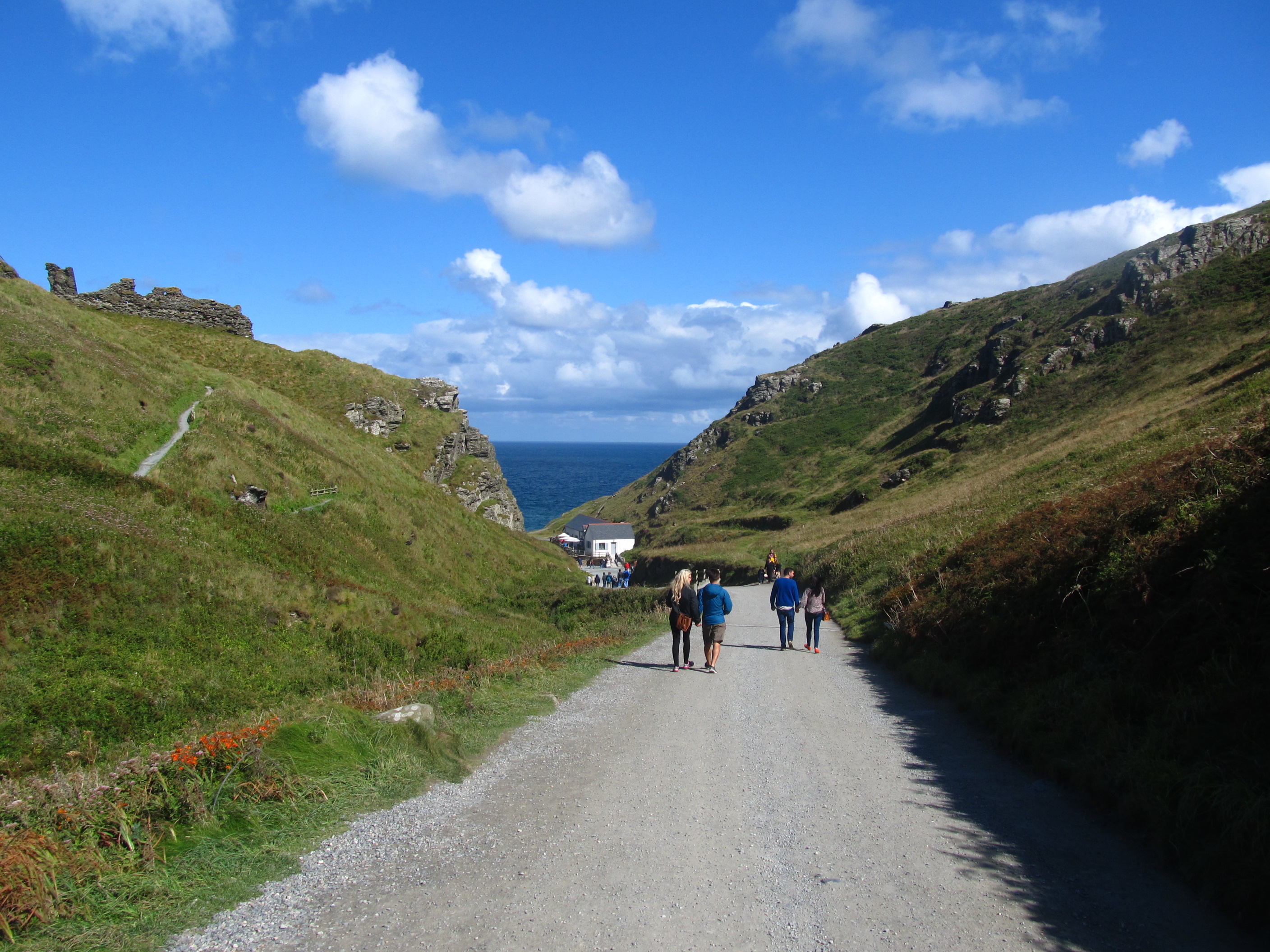
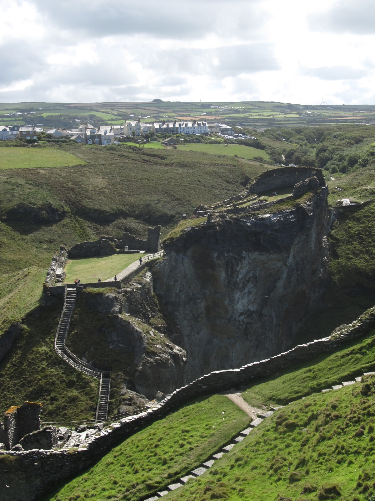
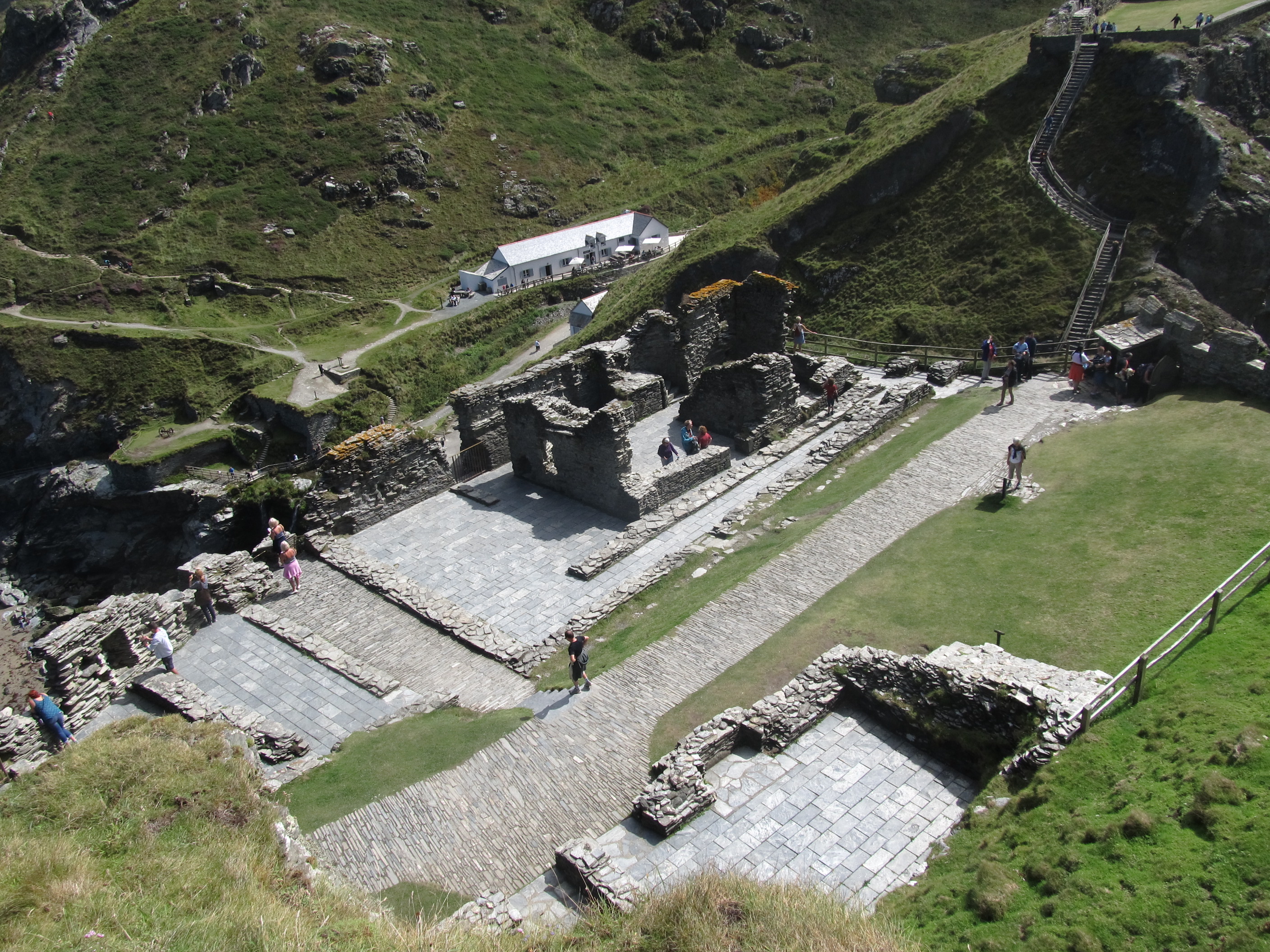
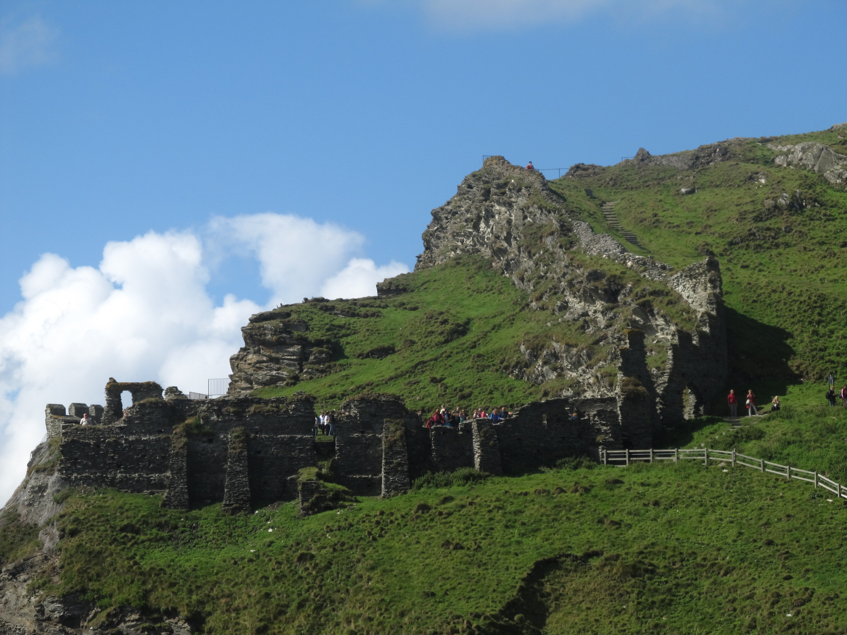
Tintagel Castle is a fantastic medieval fortress located ashore, outside the Tintagel village. The best access to this place is through the Vale of Avalon (pic. 3). The castle is the legendary birthplace of King Arthur.
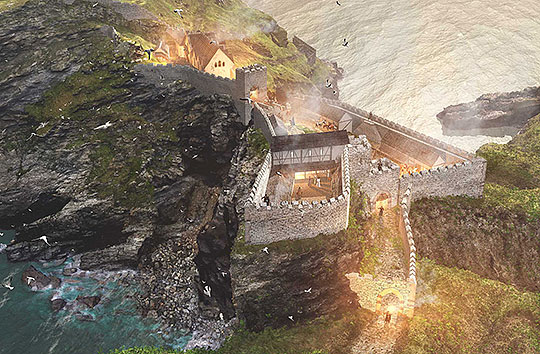
The castle was built in 1233 by Richard, 1st Earl of Cornwall in an old-fashioned style for the time to make it appear more ancient. Since the XIX century, the castle has been highly visited by tourists, who have been fascinated by King Arthur’s legends.
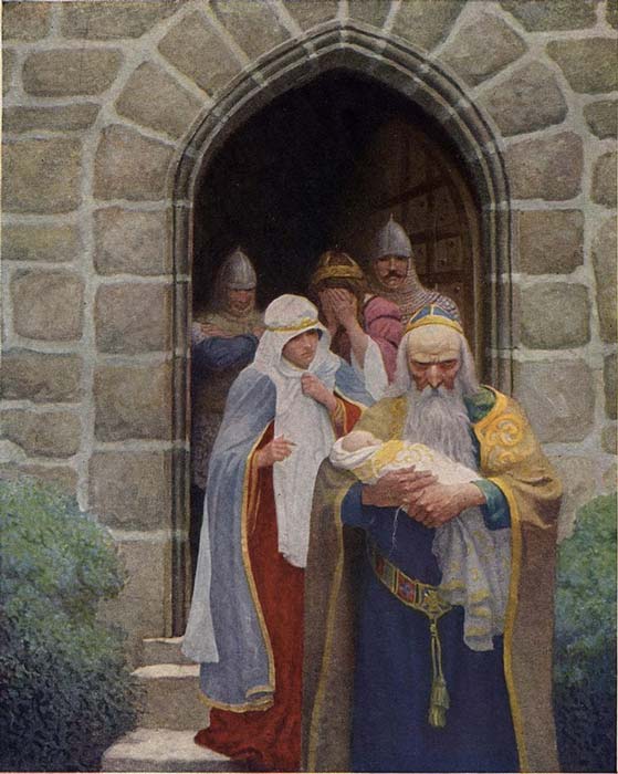
According to the legend Arthur’s father, Uther Pendragon fell in love with Igraine, the wife of Gorlois of Cornwall, who owned the Tintagel Castle at that time. Once upon a time he entered the castle and seduced the queen. It was in this way that Arthur is said to have been conceived. King Arthur is a legendary British leader, who led the defense of Britain against Saxon.
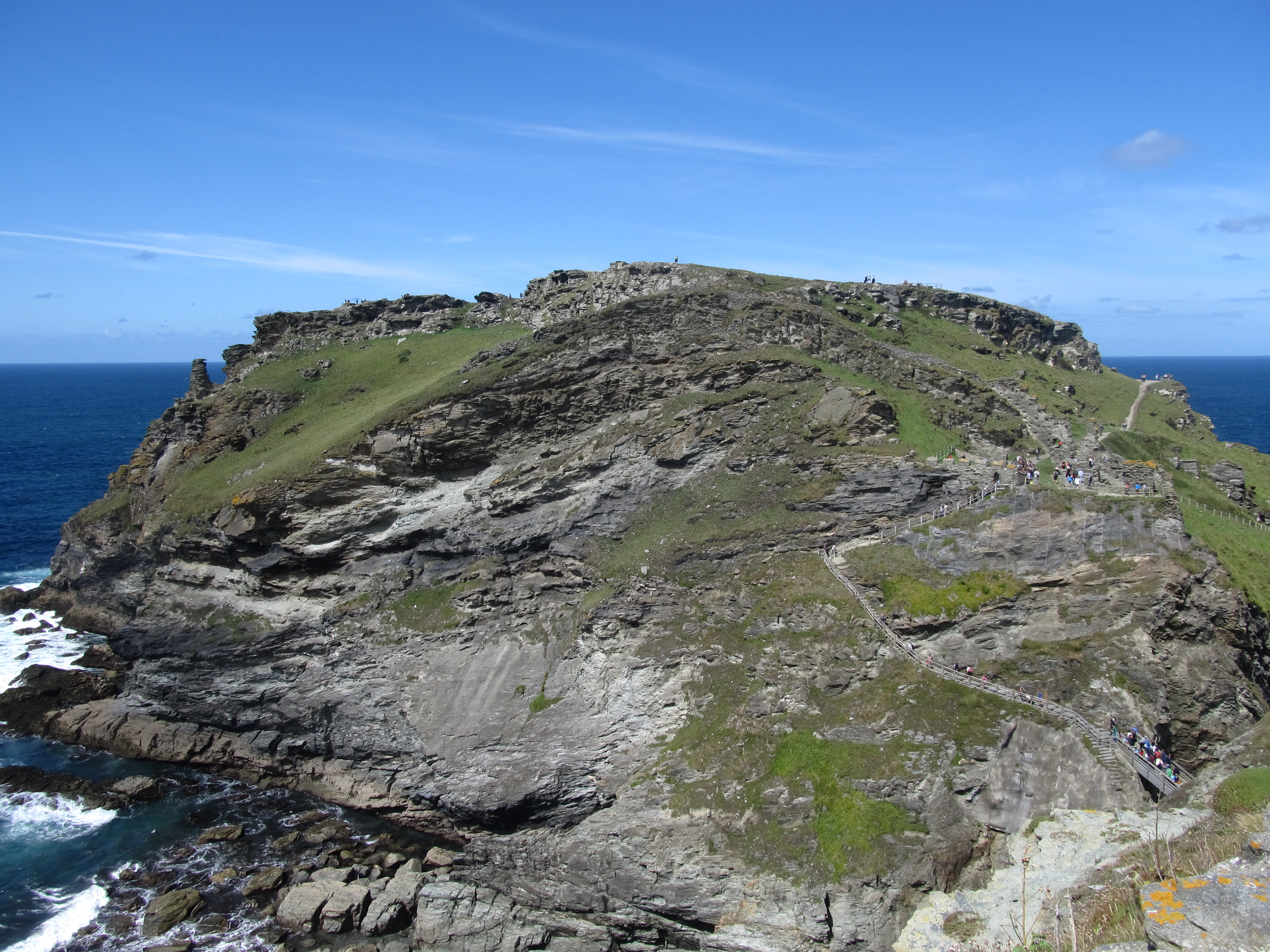
The Tintagel Castle has been built as a cliff-top castle. Unfortunately quickly fell into ruins. The main reason for this was the erosion of the isthmus, that joined the castle with the mainland. Much of it has fallen to sea during a huge landslide in the 1500s.
This neck of land was occupied since Roman times. The best proof of this is a lot of pottery from the V-VI century, which was founded here.
Read more about the Tintagel Castle:
Tintagel Castle as an English Heritage
The History of Tintagel Castle
The Tintagel Castle, one of the main attractions of the Cornwall
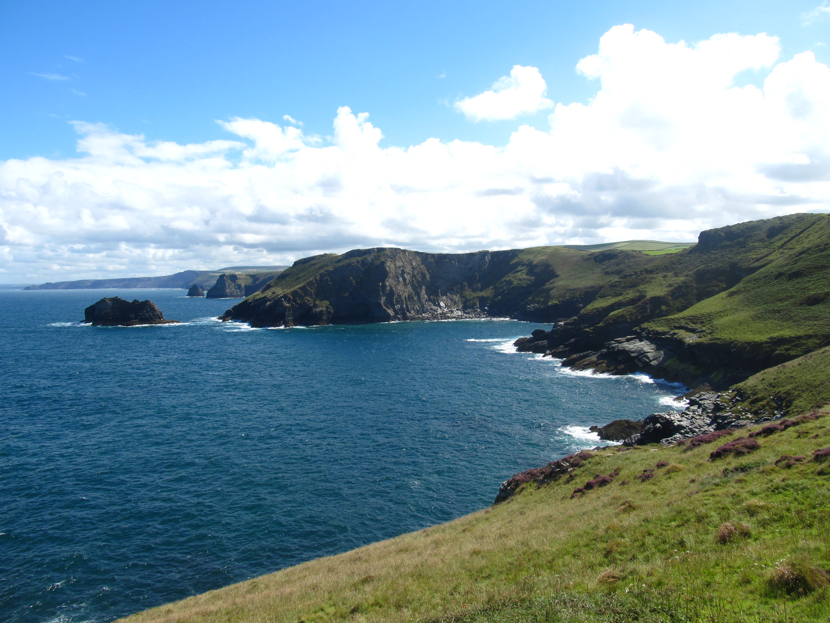
1b. The Barras Nose
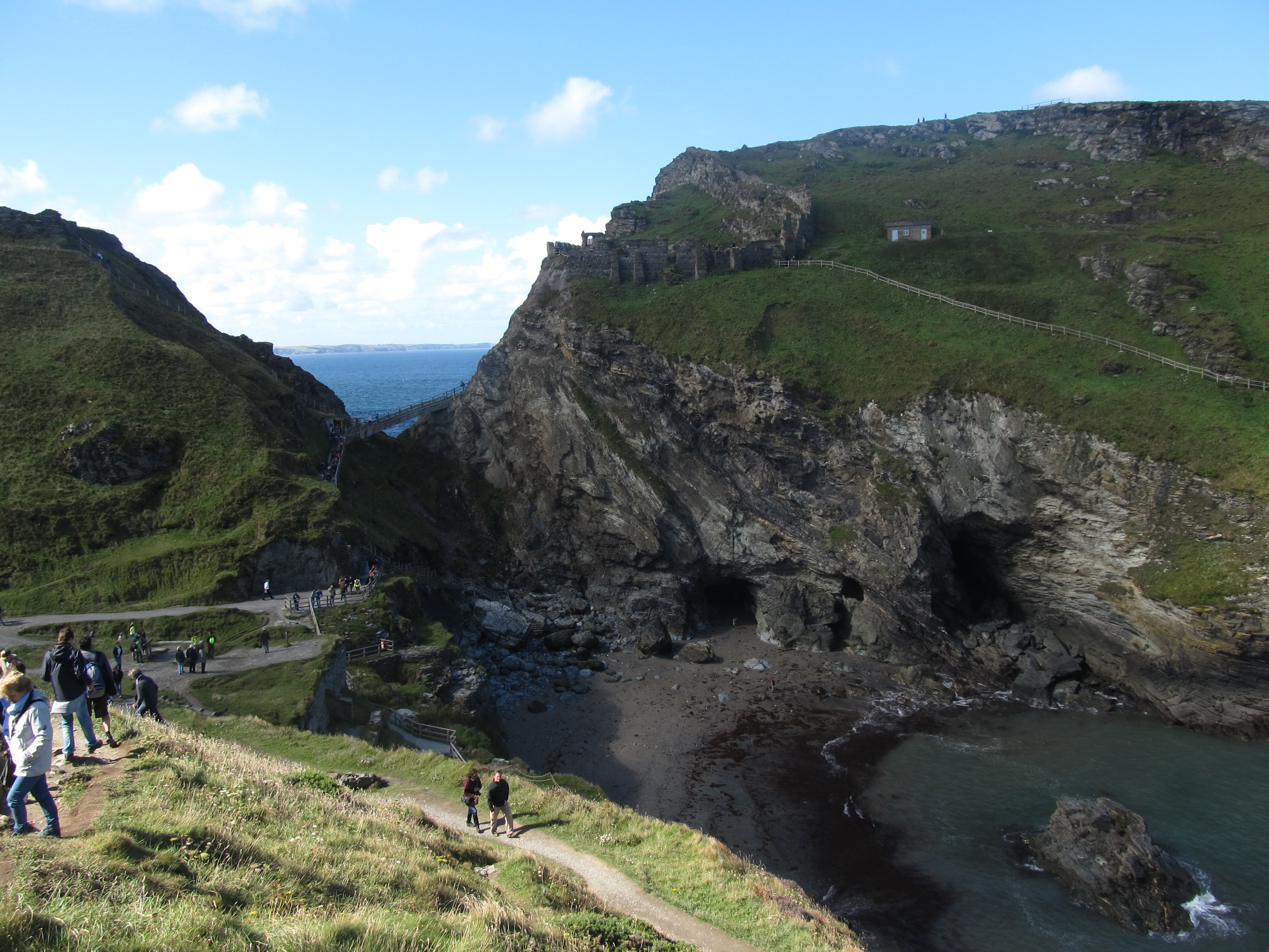
The best place to see the Tintagel Castle outside is the Barras Nose, a small land protrusion with a fantastic viewpoint. You can even see the Isle of Lundy from there.
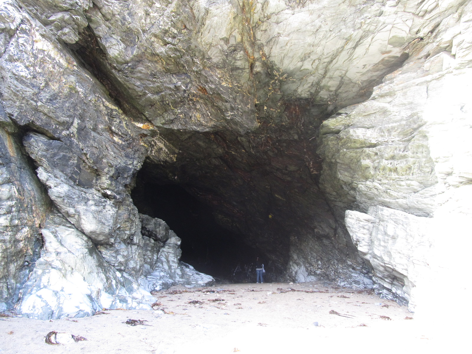
1c. Merlin’s Cave
Merlin’s Cave is a product of coastal erosion and is located directly beneath the Tintagel Castle. It is 100 m long and passes completely through Tintagel Island. This is an example of the tunnel, which may have been excavated by underground streams before they were invaded by the sea.

2. Port Isaac
Port Isaac is a small and picturesque fishing village located only 10 km south of the Tintagel Castle.

Port Isaac’s location has been used for many films and TV series, e.g. The Nightmare Man (1981), Oscar and Lucinda (1997), and Saving Grace (2000).

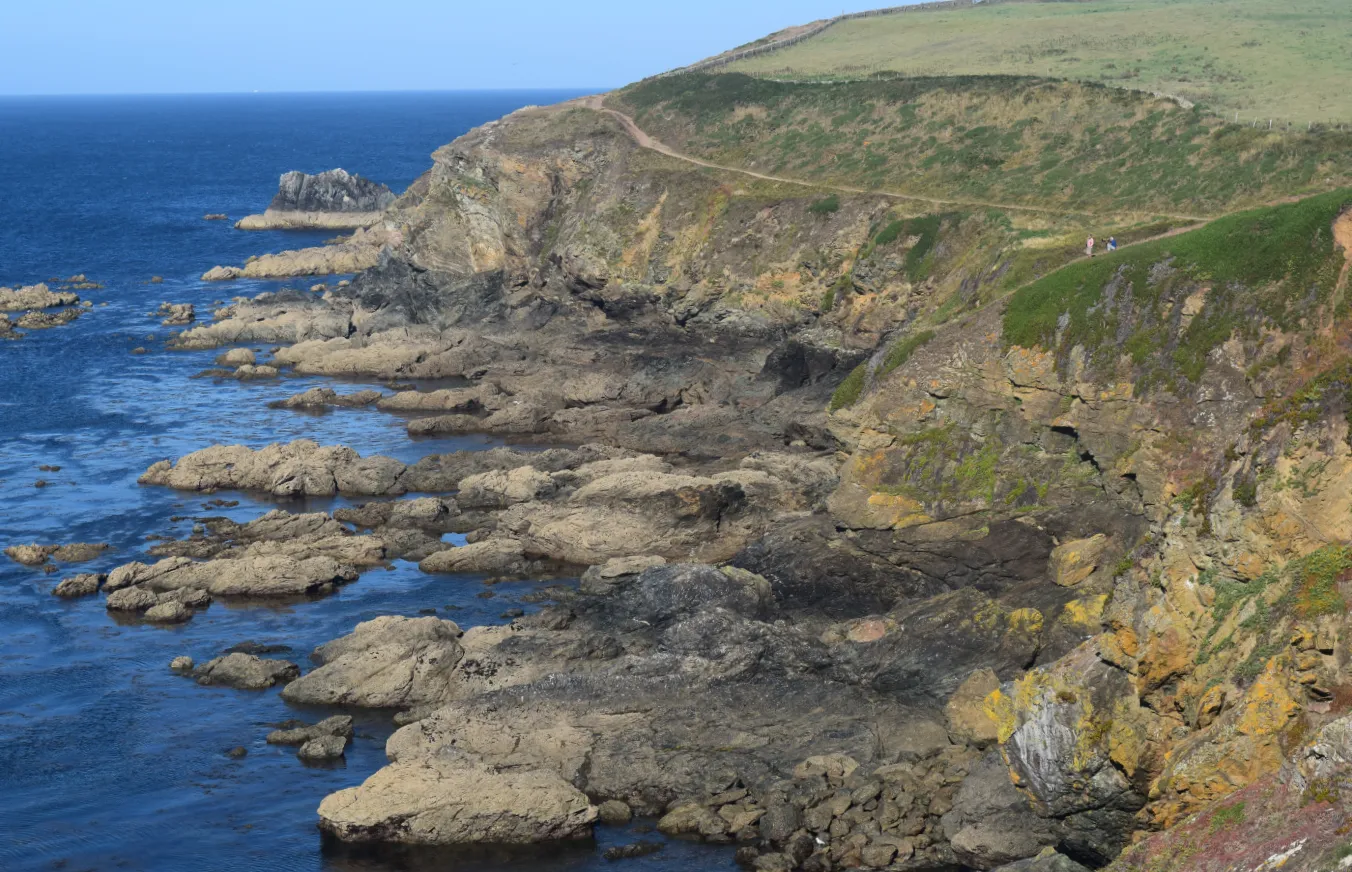
3. Bodmin Moor
This is the highest area in the whole of Cornwall. The granite moorland is situated in the northeastern part of the county. Inside the area, you can find a few inland lakes (pic. 17).
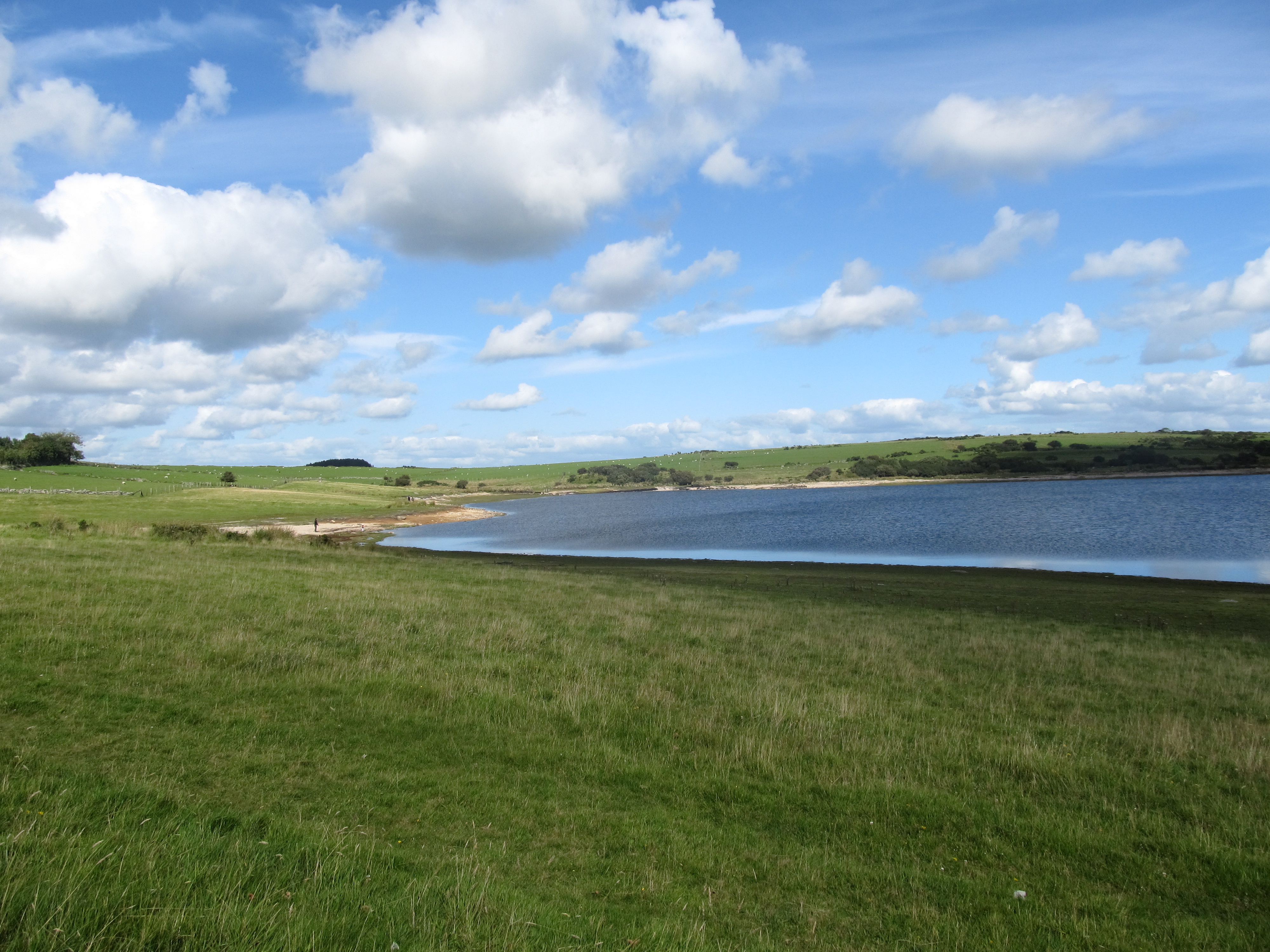
In general, the Bodmin Moors is a huge rural area with many plutonic tors, that rise up above the rolling moorland (pic. 18).
4. Tamar Bridge
Tamar Bridge is a major road bridge over the River Tamar between Cornwall and Devon. This 335m long construction was built in 1961 as an answer to demands to supplement the Saltash and Torpoint ferries, which could not cope with the increasing motor traffic. The Tamar Bridge is part of the Devon Expressway a major cross-country road from Exeter to Bodmin.

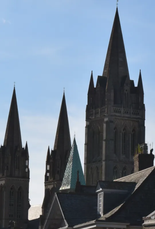
5. Truro
Truro is the capital of Cornwall with at least 19k inhabitants. It’s good to visit the Cathedral when you stop there, however, the object is well visible from the bypass also (pic .22).
6. Helston
Helston is the most southerly town in Great Britain, around 2,4 km farther south than Penzance. The population of this town is around 12k. Helston is known for one of the oldest British customs – the Furry Dance (Flora Dance). This annual event takes place on 8th May (or the Saturday before when 8th May falls on Sunday or Monday). This event provides a big pageant where the dancers wear traditional Helston’s symbolic flower – The Lily of the Valley. The Furry Dance is basically the celebration of the passing of winter and the arrival of spring.
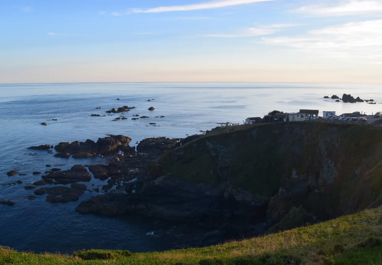
7. Lizard Point
Lizard Point is worth seeing because this is the southernmost part of the British mainland. Moreover, if you like to stargaze you choose one of the best places in the UK. Especially the southern sky is almost free of artificial lightning!
The Lizard Point is also the starting point for many ships for their ocean passage. Around this extreme south place in Britain, you can find also a white lighthouse, the YHA Lizard Youth Hostel, and beautiful cliffs.
To be continued…
Mariusz Krukar
References:
- Bird E., 2008, Coastal Geomorphology an introduction, John Wiley & Sons, Chichester
Links:
As per above +
My friend Wiktor Trybus’s personal blog