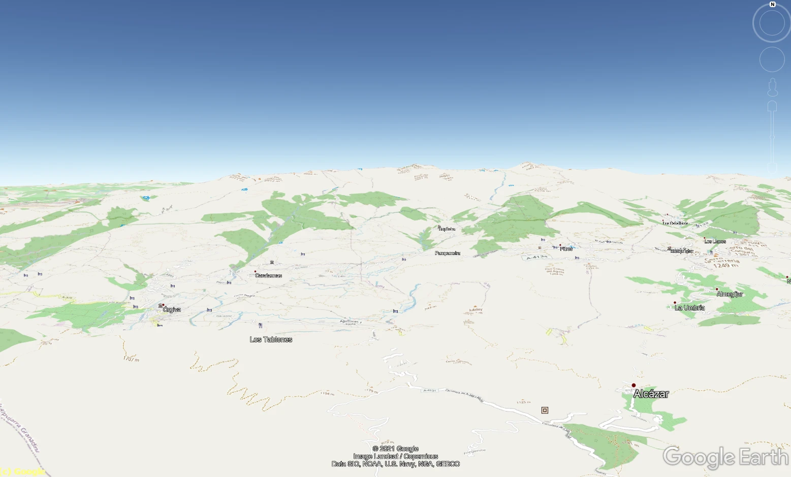
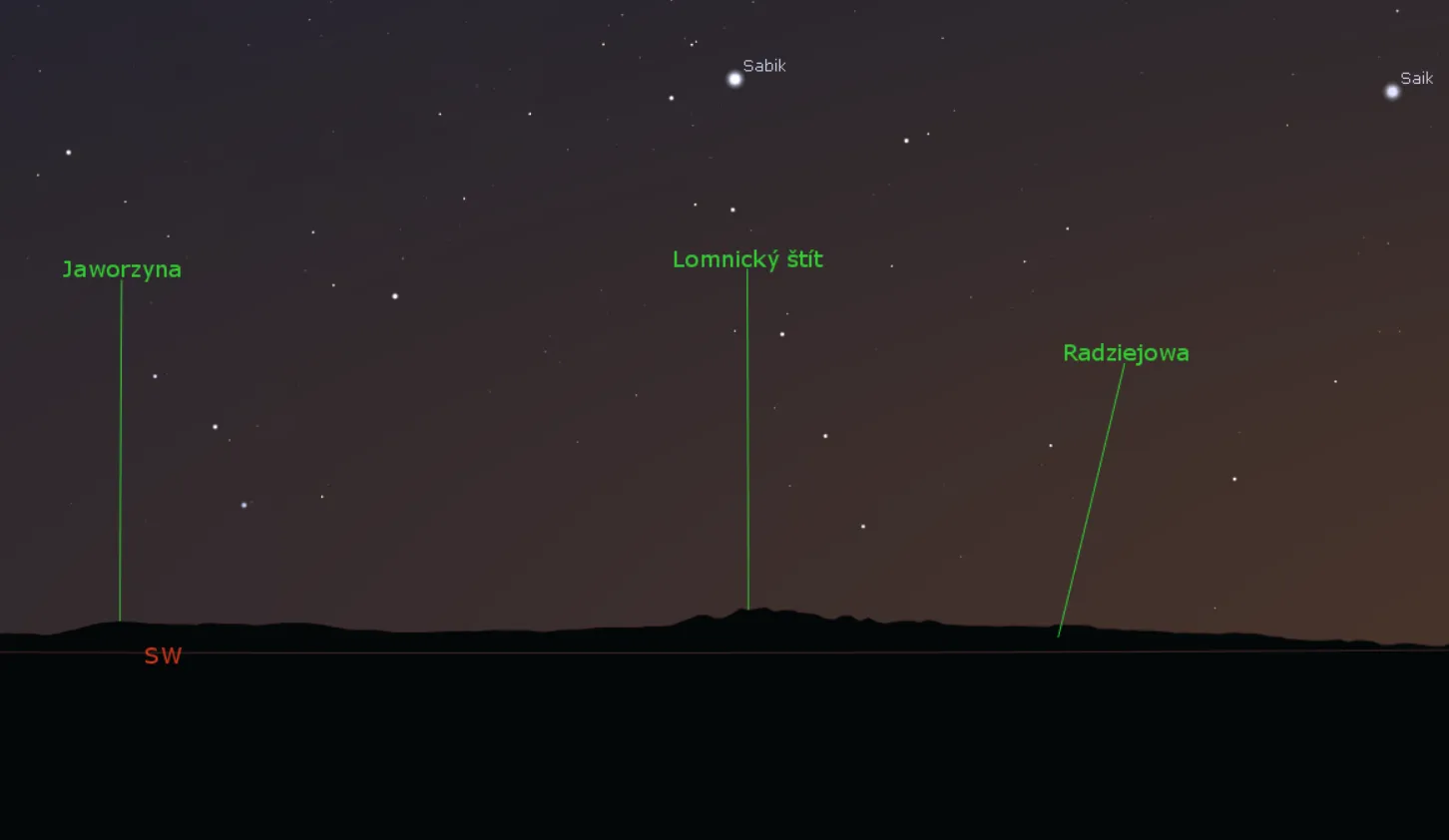
The Google Earth FOV feature usage in long-distance observations

Google Earth FOV and Long Distance Observations

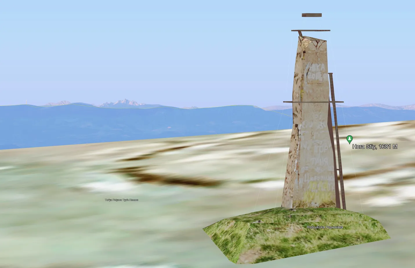
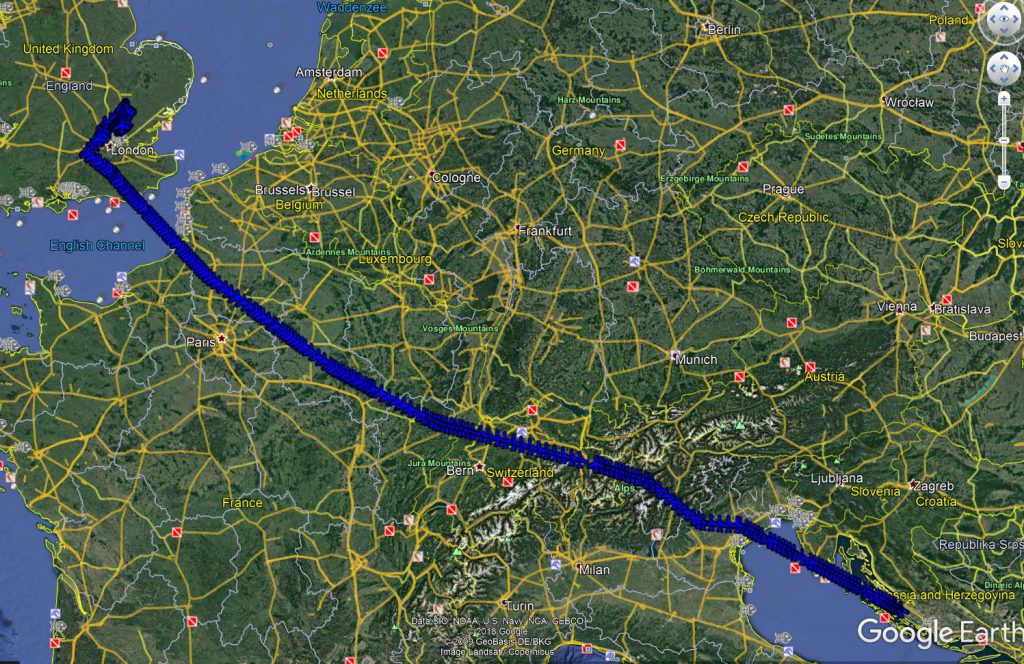
This article presents a nice feature in Google Earth, which lets on getting a telephoto view rendered from any location around the globe. Because the option is to be considered in the aspect of the long-distance observations, it’s indeed a continuation of the thread about the estimation of visibility between two artificial objects. That’s exactly … Read more

A guide for displaying the Sweet Home 3D model in Google Earth

Sweet Home 3D model in Google Earth

Sweet Home 3D is an open-source architectural design software, mostly dedicated to interiors, which helps users create a 2D plan of a house with a 3D preview. In this design software, a user can also decorate exterior and interior views by placing a multitude of objects. These objects are mostly furniture and home appliances, which … Read more

36 constructive tips & tricks for the Mapy.cz application

Mapy.cz winter map

The Mapy.cz is probably the best tourist map (and app) worldwide. It has been created by the Seznam.cz – one of the main web portals and search engines operating in the Czech Republic. The very first steps of this map portal have been taken in 1998. For long years the Mapy.cz was covering the Czech … Read more

Batch styling of KML files in Google Earth

Batch styling KML files in Google Earth

Probably you used Google Earth many times, watched at least a few tutorials, and tried to manipulate some files by yourself. On the Web, you can find many sources, where the process of creating some simple elements in Google Earth is explained. Besides the drawing features, Google Earth can be a place where a user … Read more

How to display your KML file on Google Earth with the map tile layer?

OpenStreetMap in Google Earth Sierra Nevada

Google Earth is a handy tool, which includes much information. Most of this information can be shown as the layer overlaid on the satellite imagery covering our virtual globe. These layers can be displayed along with our own .kml files plotted into our area. The layers built into Google Earth are not sole. The user … Read more

Bulk text field name changes in multitude of KML files without programming knowledge

Bulk text name changes in KML files

In this thread, I would like to describe a swift method, which allowed us to make some changes within the .kml files. I am focusing on the names of columns inherited from the .shp files, although the described method can be applied to other texts and even some values too.  What is most important, we … Read more

Rendering the Heywhatsthat.com horizon in Stellarium

Rendering Heywhatsthat.com horizon in Stellarium

I am very excited to announce to you a brand new tool, which has been developed just after the newest Stellarium edition was released. I mean the Stellarium version 0.2 onwards, which is the reach of new features. One of them is the possibility of loading the polygonal type of horizon, known by many of … Read more

Creating your own speed limit map in QGIS and showing it interactively in Google Maps

Recently I showed you how to collect the speed limit data about the specified section of the road. It’s obviously a huge step toward the speed limit map preparation.  Reading the last article you got to know some examples of beautiful and very useful speed limit maps. In this reading, you will get knowledge about … Read more

Digitizing administrative maps in Google Earth

Google Earth digitizing maps

The digitizing process is needed when we want to transform our map into vector data. This process is aimed at tracing the map features, which later appear as coordinates in either point, line, or polygon format. Digitizing is essential in the case where our data cannot be instantly integrated with the other GIS data. In … Read more

Travelling & Sightseeing from home

Google Trekker

Now is not the best time for traveling around the world, because it’s restricted due to the coronavirus outbreak worldwide. Nevertheless, if our life is affected by a pandemic or not, this type of sightseeing always has pros. 1. REASONS FOR TRAVELLING & SIGHTSEEING FROM HOME The rudimental reason for it is the preparation for … Read more

Excel Spreadsheet batch data geocoding for GeoJSON and JSON files

GeoJSON output in Leaflet

Recently I was dealing with geotagging single addresses in Google Maps and other easily accessible tools. However, the stuff, that I focused on is playing around with single placemarks only. I believe, that this operation is much more useful when we take into account not only the address but other details, related to this place. … Read more

Link management in Google MyMaps and KML files

Google Earth link management

Google MyMaps is a very useful tool for people, who want to create their own map and base it on the Google Maps interface. Personally, I use it quite often, especially when planning some journey or placing some interesting objects across the World or some region. An important thing is to refer the stuff, prepared … Read more

Input multiple address list to Google Maps and Google Earth – the quickest way

Excel address list in Google MyMaps

Google Maps, as well as Google Earth, are very useful tools in terms of location finding. A user can find a proper address quickly in any place in the World. Sometimes we are obligated to find multiple locations for different purposes. Then it can be a problem for someone, who must have a multitude of … Read more